

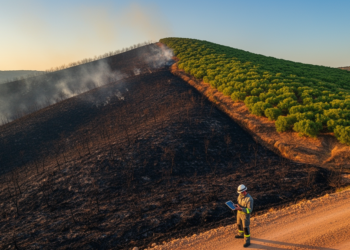
Satellite Fire Maps Hide a Split Personality: New Study Decodes What Sentinel-2 Indices Really See After Wildfire
A field study in a fire-scarred Turkish Pinus brutia forest shows that the Sentinel-2 indices dNBR, RdNBR, and NDVI each ...
A field study in a fire-scarred Turkish Pinus brutia forest shows that the Sentinel-2 indices dNBR, RdNBR, and NDVI each ...
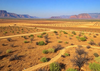
New research analyzing nearly 10,000 Western wildfires finds that irrigated cropland acts as a landscape-scale fire buffer, meaning drought-driven farmland ...
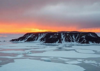
A new study shows that melting Laptev Sea ice triggers circulation and soil-drying feedbacks that amplify vapor pressure deficit and ...
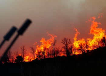
New research from fire-affected coastal California watersheds shows that labile levoglucosan peaks in the earliest post-fire runoff and fades over ...
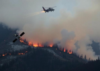
A new openly available dataset validates and corrects more than a decade of Türkiye's official wildfire records using satellite detections ...
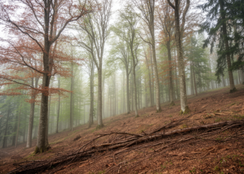
A new eLTER policy brief warns that Europe's forests may appear intact while losing their capacity to recover from climate ...
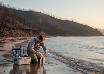
A twenty-year analysis of California's coastal watersheds reveals that wildfires systematically alter fecal indicator bacteria levels, with distinct patterns in ...
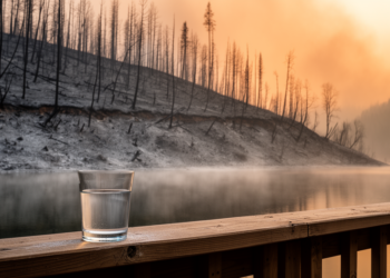
A new scoping review finds that wildfires frequently mobilize arsenic into surface waters, with burned mining, agricultural, and urban areas ...
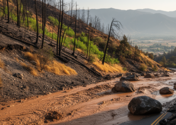
A four-year study of California's 2020 Lake Fire shows that post-fire debris flow risk swings dramatically between wet and dry ...
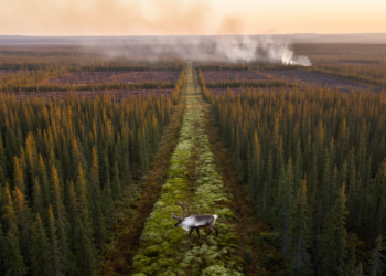
Researchers have developed a network optimization model that places fuel breaks to minimize wildfire spread while safeguarding woodland caribou migration ...


Embark on a thrilling journey of discovery with Scienmag.com—your ultimate source for cutting-edge breakthroughs. Immerse yourself in a world where curiosity knows no limits and tomorrow’s possibilities become today’s reality!