

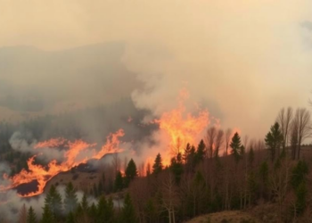
An integrated wildfire event database for improved fire science research for the continental United States, 1992–2021
An integrated database of US wildfire events from 1992 to 2021 yields greater total burned area in every region and ...
An integrated database of US wildfire events from 1992 to 2021 yields greater total burned area in every region and ...

A 4,500-year lake-sediment record from northwestern Yunnan associates the region’s strongest wildfire interval with reduced moisture and drier local conditions.
A two-year field study found that fire killed roughly one-third of reptiles detected in burned areas of Sierra Morelos, Mexico, ...
A 24-year satellite analysis reveals significantly increasing burned areas in the Kurdistan Region of Iraq, driven by rising temperatures and ...
A new high-resolution mapping study shows that drought, wildfire and social vulnerability combine to expose more than half of Iran's ...
A four-year acoustic monitoring study across the Sierra Nevada reveals that the Hermit Warbler declined 8.3 percent as rising temperatures ...
Six years after the largest wildfire ever recorded in Argentina's Andean-Patagonian forests, researchers have mapped how the forest floor is ...
A new study of 54 forest plantations in Galicia, Spain, finds that tree species shape soil moisture and microbial respiration, ...
A field study in a fire-scarred Turkish Pinus brutia forest shows that the Sentinel-2 indices dNBR, RdNBR, and NDVI each ...
New research analyzing nearly 10,000 Western wildfires finds that irrigated cropland acts as a landscape-scale fire buffer, meaning drought-driven farmland ...

Embark on a thrilling journey of discovery with Scienmag.com—your ultimate source for cutting-edge breakthroughs. Immerse yourself in a world where curiosity knows no limits and tomorrow’s possibilities become today’s reality!