

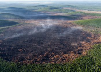
Satellite Data Reveals How Long Wildfire Scars Really Linger on the Land
A new robust statistical framework applied to Landsat data from interior Alaska shows that most burn scars fade spectrally within ...
A new robust statistical framework applied to Landsat data from interior Alaska shows that most burn scars fade spectrally within ...
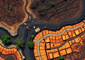
A new evidence map of 72 studies shows that remote sensing reliably tracks surface-expressed forest soil damage from wildfire and ...
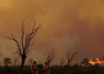
A 1,000-year palaeoecological record shows that colonial disruption of Gunaikurnai cultural burning transformed open woodlands into dense, flammable eucalypt forest, ...
A systematic review of 128 observational studies finds that evidence of climate change impacts on Mediterranean-type ecosystems is heavily skewed ...
High-resolution FlamMap simulations in southern Ecuador show that under a high-emissions climate scenario, the area classified as high wildfire hazard ...
A $2 million NSF-funded project led by the University at Buffalo will use AI, infrastructure modeling and social science to ...

A large-scale Amazonian study published in Science finds that protecting existing forests from logging and wildfires is more cost-effective for ...
A new study using 19 downscaled CMIP6 climate models projects that fire weather danger in northern South America will intensify ...
A new study combining CMIP6 climate projections with high-resolution fire spread simulations finds that wildfire danger days and annual burned ...
University of Utah-led research shows satellite measurements of solar-induced fluorescence detected declining photosynthetic activity in Western U.S. forests two years ...


Embark on a thrilling journey of discovery with Scienmag.com—your ultimate source for cutting-edge breakthroughs. Immerse yourself in a world where curiosity knows no limits and tomorrow’s possibilities become today’s reality!