


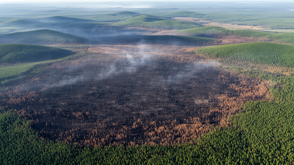
When a wildfire tears through a boreal forest, the flames die down within days, but the scar it leaves behind can linger in satellite images for years. A new statistical study has now put a precise number on that fading process, and the answer is more nuanced than a simple average might suggest. By treating burn-scar persistence as a kind of statistical lifetime, a researcher has shown that most burned areas in interior Alaska recover their spectral signature in roughly three years, while a stubborn minority remain visibly degraded for five to six years or longer. The work, published in Advances in Statistical Climatology, Meteorology and Oceanography, introduces a robust modeling framework that could reshape how scientists track ecosystem recovery from orbit.
The challenge that motivated the study is one that anyone who works with satellite archives knows intimately: the record is finite. Satellites do not observe the world continuously or forever. Cloud cover, orbital gaps, sensor outages and the simple fact that any archive has a beginning and an end mean that scientists rarely witness the full life cycle of a disturbance. For a burned pixel, the true moment of ignition and the true moment of recovery may both fall outside the window of observation. Statisticians call this censoring, and ignoring it can seriously bias estimates of how long recovery actually takes. If you only count the scars whose entire story fits inside your observation window, you systematically exclude the slowest-recovering landscapes, the ones that matter most for understanding ecological resilience.
Nora Khalil of Capital University in Egypt tackled this problem by borrowing a conceptual toolkit from survival analysis, the branch of statistics originally developed to model human lifetimes and the reliability of mechanical components. In her formulation, each burned pixel has a persistence lifetime: it begins when the vegetation’s spectral signal degrades past a defined threshold and ends when that signal recovers to near its pre-fire baseline. Some of these lifetimes are fully observed, some are right-censored because the pixel was still degraded when the archive closed, and a few span the entire analysis window, providing only the information that persistence exceeded the window’s length. Crucially, although some episodes appear doubly censored in calendar time, the statistical inference is conducted entirely on the persistence-time scale, where all incomplete episodes enter the likelihood as right-censored observations.
The data came from Landsat surface-reflectance time series at Monitoring Trends in Burn Severity sampling locations within a large fire scar in interior Alaska, centered near 65.5 degrees north latitude. Khalil assembled NDVI histories, a standard greenness index derived from the difference between near-infrared and red reflectance, for roughly one hundred burned pixels, drawing on observations from Landsat 5, Landsat 7 and Landsat 8 between 2000 and 2020. Cloudy, hazy and snow-covered observations were discarded. For each pixel, a healthy-vegetation baseline was defined as the 80th percentile of its own NDVI record, an approach that adapts to local conditions rather than imposing a single regional standard. A burn episode was declared when smoothed NDVI fell below 60 percent of that baseline, and recovery was declared when it climbed back to at least 85 percent.
To mimic the incomplete monitoring conditions typical of real satellite archives, the analysis was restricted to a window spanning 1 January 2010 to 31 December 2018. This deliberate choice produced a balanced mix of observation types: of the 90 persistence episodes in the final dataset, 49, or 54 percent, were fully observed, 35, or 39 percent, were right-censored, and 6, or 7 percent, remained degraded throughout the entire window. Nearly half the episodes were therefore incomplete, a striking illustration of why naive approaches that use only raw observed durations would discard a substantial portion of the available information and skew the picture of recovery.
The heart of the methodological contribution lies in how the persistence times were modeled. Khalil assumed they follow a Weibull distribution, a flexible two-parameter family whose shape parameter reveals whether the recovery hazard, the probability of recovering in the next interval given that recovery has not yet occurred, increases or decreases with time, and whose scale parameter sets a characteristic duration. Standard maximum likelihood estimation of these parameters is efficient when the model is correct, but it is notoriously sensitive to outliers. Satellite data are full of them: residual cloud contamination, geolocation errors, mixed pixels and misclassification can all produce anomalous readings that distort the estimated hazard and bias ecological interpretation.
To guard against such contamination, the study employed a weighted-likelihood estimator with Huber-type influence weights. The idea is elegant: each observation is compared against the currently fitted model, and observations that disagree strongly with it receive progressively reduced weight, down to a floor set by a tuning constant. Nothing is discarded outright; even the most discordant episodes retain some influence, but atypically long-lived scars no longer dominate the fit. The tuning constant itself was chosen data-driven, by minimizing the squared discrepancy between the fitted Weibull distribution and a nonparametric Kaplan-Meier or Turnbull estimate of the survival curve over its central range. Uncertainty was quantified through a parametric bootstrap with 1000 replications, preserving the observed censoring pattern in each synthetic dataset.
The results paint a coherent picture of post-fire recovery in the subarctic. The fitted Weibull model indicates a median persistence of approximately 2.7 to 2.9 years, with a 90th-percentile persistence of roughly five to six years, meaning one in ten burned areas remains spectrally scarred for at least that long. The shape parameter consistently exceeded one, indicating an increasing recovery hazard: the longer a scar has persisted, the more likely it is to recover in subsequent months. This pattern aligns with ecological expectations, since vegetation regrowth tends to accelerate once seedlings and resprouting vegetation establish themselves. Bootstrap diagnostics showed that the robust estimator narrowed the dispersion of parameter estimates compared with maximum likelihood, driven by downweighting a small number of very long-lived scars, while leaving the central tendency essentially unchanged. Sensitivity analyses across tuning constants from 1.0 to 1.5, and across alternative NDVI thresholds, baselines and smoothing choices, confirmed that the substantive conclusions are not artifacts of any single arbitrary specification.
An honest comparison with alternative distributions revealed some interesting tensions. The lognormal model actually attained the smallest AIC and BIC information criteria, with the gamma distribution close behind, yet the estimated medians and upper-tail quantiles were broadly comparable across all three families. Khalil retained the Weibull as the primary model for two reasons: it offers a direct monotone hazard interpretation that maps naturally onto ecological regrowth, and it integrates seamlessly with the established robust censored-likelihood machinery. A Weibull probability plot showed approximate linearity over the central quantile range, with departures confined to the sparse tails where few uncensored observations exist. The fitted survival curve closely tracked the Kaplan-Meier and Turnbull empirical estimators over the central duration range of roughly 500 to 1500 days.
Perhaps the most exciting aspect of the work is its generality. The same framework, persistence as a censored lifetime, estimated with adaptive robust weighting, applies naturally to other environmental processes observed under incomplete monitoring: snow-cover longevity, floodwater retention, orbital-debris decay, drought impacts, land-use transitions and vegetation browning. In the fire context, the author notes that the method could be applied to events such as the 2019-2020 Australian bushfires or large Amazonian drought fires by adapting only the NDVI extraction and baseline definitions. Future extensions could incorporate spatial pooling, climate covariates, fire severity effects and hierarchical structures combining multiple fire events. The study is not without limitations, the sample of 90 episodes with only six window-spanning cases constrains precision in the extreme upper tail, but as climate change intensifies fire regimes worldwide, having a statistically principled, robust and interpretable tool to measure how long landscapes carry their wounds has never been more timely.
Subject of Research: Statistical modeling of post-fire vegetation recovery duration using censored Weibull lifetime analysis of satellite NDVI time series
Article Title: Robust doubly censored Weibull modelling of NDVI-based burn-scar persistence in satellite time series
Article References: Khalil, N. (2026). Robust doubly censored Weibull modelling of NDVI-based burn-scar persistence in satellite time series. Advances in Statistical Climatology, Meteorology and Oceanography, 12(1), 111-121. https://doi.org/10.5194/ascmo-12-111-2026
Image Credits: AI Generated
DOI: 10.5194/ascmo-12-111-2026
Keywords: wildfire, burn scar, NDVI, Landsat, survival analysis, Weibull distribution, censored data, robust estimation, remote sensing, Alaska, vegetation recovery, MTBS
Cite Scienmag News
Reid Dalton. (October 9, 2026). Satellite Data Reveals How Long Wildfire Scars Really Linger on the Land. Scienmag. https://scienmag.com/satellite-data-reveals-how-long-wildfire-scars-really-linger-on-the-land/
Reid Dalton. "Satellite Data Reveals How Long Wildfire Scars Really Linger on the Land." Scienmag, 9 October 2026, https://scienmag.com/satellite-data-reveals-how-long-wildfire-scars-really-linger-on-the-land/. Accessed 9 October 2026.
Reid Dalton. "Satellite Data Reveals How Long Wildfire Scars Really Linger on the Land." Scienmag. October 9, 2026. https://scienmag.com/satellite-data-reveals-how-long-wildfire-scars-really-linger-on-the-land/


