


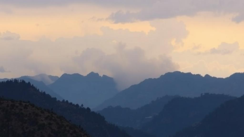
High in the Andes of southern Ecuador, where cloud forests give way to shrub-covered páramo above 4,000 meters, wildfire has long been an underappreciated threat. A new study published in the journal Natural Hazards now offers one of the first spatially explicit assessments of how climate change could reshape fire behavior in these fragile tropical mountain ecosystems. Using high-resolution computer simulations at 20-meter resolution, researchers modeled wildfire hazard across Molleturo Parish in Azuay Province under both observed baseline conditions and future climate projections, and their results reveal a hazard that is growing faster than the headline numbers might suggest.
The research team, led by María Mercedes Ojeda-Muñoz of Universidad Politécnica Salesiana in Cuenca, together with Juan Gabriel Mollocana-Lara and Cesar Ivan Alvarez, focused on Molleturo Parish, a vast rural territory of nearly 98,400 hectares within Cuenca Canton. The landscape is extraordinarily diverse: elevations range from low inter-Andean valleys to mountain summits above 4,000 meters, slopes reach nearly 69 degrees in places, and vegetation spans Andean forests, shrublands, and the iconic páramo, a high-elevation alpine wetland ecosystem that regulates regional water supplies and harbors exceptional biodiversity. Roughly a quarter of the parish is designated as protected forest and vegetation area, underscoring its ecological importance.
Why does fire matter so much here? The páramo and Andean shrublands depend heavily on moisture availability, and their soils and vegetation store water that feeds communities far downstream. National climate projections for Ecuador indicate temperature increases of 2.6 to 3.5 degrees Celsius by the end of the century under high-emission scenarios, alongside shifting precipitation patterns. Warmer, drier air accelerates the drying of fuels, raising both the likelihood of ignition and the intensity with which fires burn. Ecuador has already seen the consequences: between January and October 2022, more than 1,200 wildfire events were recorded nationally, affecting over 6,500 hectares, with Azuay Province among the hardest hit. In 2023, fire incidence exceeded previous records, concentrated in the August-to-October dry season.
To translate these climatic pressures into concrete fire behavior, the team employed FlamMap, a widely used semi-empirical fire modeling framework developed by Mark Finney of the U.S. Forest Service. FlamMap simulates potential fire behavior across entire landscapes under defined environmental conditions, producing spatial estimates of flame length, rate of spread, fireline intensity, and fire growth. The researchers built a Landscape file integrating elevation, slope, aspect, fuel models, and vegetation cover percentage, all standardized to a 20-by-20-meter grid. Land cover data from Ecuador’s Ministry of Agriculture, covering 78 distinct categories within the parish, were reclassified into the standard Scott–Burgan fuel models, a classification system that encodes fuel load, fuel bed depth, and particle size distribution. Agricultural areas, water bodies, urban zones, and eroded lands were treated as non-burnable.
The simulations drew on meteorological records from the EDA CHAUCHA station, part of the Cuenca Hydrometeorological Network, which provided continuous observations of temperature, precipitation, relative humidity, wind speed, and wind direction from 2014 to 2020. For future conditions, the team used projections under RCP 8.5, the high greenhouse gas emissions pathway from the IPCC’s Fifth Assessment Report, derived from three global circulation models: CSIRO, GISS, and IPSL. Projections were obtained for two time windows, 2030–2050 and 2051–2070, and processed in the R statistical environment to match the study area’s extent. Roads, rivers, rocky outcrops, and other non-burnable features extracted from OpenStreetMap were incorporated as fire barriers, adding realism by accounting for breaks in fuel continuity that restrict fire propagation.
Two complementary algorithms powered the analysis. The Fire Behavior module calculated potential surface and crown fire characteristics for every raster cell, while the Minimum Travel Time algorithm identified the fastest spread pathways across the heterogeneous terrain using 2,000 randomly distributed ignition points, yielding burn probability maps and estimates of potential fire size. The four fire behavior outputs were normalized and combined with equal weighting into a composite Fire Hazard Index, classified into low, moderate, high, and extreme categories using thresholds originally proposed by Andrews and Rothermel.
The results tell a nuanced story. Most of Molleturo remained in the low fire-behavior category throughout all periods, but the high-hazard footprint expanded dramatically in relative terms. The area classified as high flame length nearly doubled from 1.11 percent of the parish in the baseline period to 2.05 percent in 2051–2070, while the high rate-of-spread class more than doubled from 0.60 to 1.36 percent. Most strikingly, the proportion of land classified as high fire hazard rose from just 0.250 percent under baseline conditions to 3.256 percent in 2030–2050 and 3.713 percent by 2051–2070, a roughly fifteenfold relative increase. Among fuel types, slightly disturbed shrub páramo consistently exhibited the highest fire potential, marking these ecosystems as the landscape’s most flammable zones.
Notably, crown fire activity showed limited variation across scenarios, suggesting that projected warming will primarily intensify surface fires rather than drive destructive canopy fires. This pattern aligns with fire ecology research in humid mountain ecosystems, where discontinuous canopy structure and high background humidity constrain vertical fire transition. Burn probability also remained low in absolute terms, with mean values changing only slightly among periods and maximum values reaching only about 0.0145. Mean simulated fire size hovered between roughly 58 and 62 hectares, though the large standard deviations reveal substantial variability among individual simulated fires. The extensive non-burnable agricultural land, which covers nearly 38 percent of the parish, and the incorporated fire barriers likely help contain fire spread across the landscape.
Perhaps the most actionable finding concerns people. By overlaying burn probability maps with settlement locations, the researchers identified four communities, Cochapamba, Santa María, Río Blanco, and Huahualcay, that lie within or adjacent to areas of comparatively elevated burn probability. The authors caution that because the simulations used random ignitions, this spatial coincidence does not imply that the settlements caused the pattern; rather, the maps flag locations where exposure, access routes, and ignition processes deserve closer local scrutiny. The researchers emphasize that the hazard and burn probability maps should be treated as screening instruments for prioritizing prevention and preparedness, not as deterministic forecasts of where fires will burn.
The study’s limitations are candidly acknowledged. Fuel conditions were held static, so the model cannot capture future land-use change, grazing pressure, or dynamic vegetation-fire feedbacks that could either amplify or dampen risk. Several inputs derived from governmental cartography rather than field measurements, and fine-scale heterogeneity in steep terrain may not be fully resolved even at 20-meter resolution. The simulations also do not isolate the individual contributions of wind, temperature, and humidity to the observed changes. Nevertheless, the spatial patterns are consistent with expected fire responses to warming and drying, lending confidence to the framework. The authors recommend integrating wildfire screening into Ecuador’s land-use planning instruments, strengthening meteorological and satellite monitoring, establishing strategic fuel breaks, reducing fuel loads in high-risk shrub zones, and promoting community-based fire awareness. As the tropical Andes warm, such proactive adaptation may determine whether these water-towering ecosystems retain their resilience or cross into a more flammable future.
Subject of Research: Climate change effects on wildfire hazard in high-elevation tropical Andean ecosystems of southern Ecuador, assessed with high-resolution FlamMap fire behavior simulations
Article Title: Climate change amplifies surface fire hazard in the tropical Andes: high-resolution FlamMap simulations in southern Ecuador
Article References: Ojeda-Muñoz, M. M., Mollocana-Lara, J. G., & Alvarez, C. I. (2026). Climate change amplifies surface fire hazard in the tropical Andes: high-resolution FlamMap simulations in southern Ecuador. Natural Hazards, 122(20), Article 658. https://doi.org/10.1007/s11069-026-08431-z
Image Credits: AI Generated
DOI: 10.1007/s11069-026-08431-z
Keywords: wildfire, climate change, FlamMap, tropical Andes, Ecuador, páramo, fire behavior modeling, RCP 8.5, burn probability, Azuay Province, fire hazard, land-use planning
Cite Scienmag News
Sloane Callahan. (October 5, 2026). Climate change is quietly stoking fire danger in the tropical Andes. Scienmag. https://scienmag.com/climate-change-is-quietly-stoking-fire-danger-in-the-tropical-andes/
Sloane Callahan. "Climate change is quietly stoking fire danger in the tropical Andes." Scienmag, 5 October 2026, https://scienmag.com/climate-change-is-quietly-stoking-fire-danger-in-the-tropical-andes/. Accessed 5 October 2026.
Sloane Callahan. "Climate change is quietly stoking fire danger in the tropical Andes." Scienmag. October 5, 2026. https://scienmag.com/climate-change-is-quietly-stoking-fire-danger-in-the-tropical-andes/


