


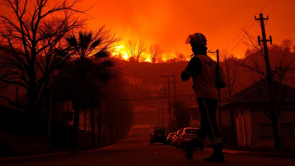
When wildfire sweeps through a densely built American city, the immediate images are of flames, evacuations, and ash. What happens to crime in the neighborhoods touched by the smoke is far less intuitive, and far less studied. A new analysis published in the American Journal of Criminal Justice by Michael S. Barton, Matthew Valasik, Rachel LaPointe, and Shannon Lopez of the University of Alabama and Cogstone Resource Management examines how seven major wildfires that burned within the city limits of Los Angeles between 2016 and 2022 were associated with neighborhood-level patterns of violent and property crime. Their central finding is striking: census tracts near burned areas reported significantly lower levels of both violent and property crime, suggesting that the criminological footprint of a wildfire extends well beyond the fire line itself.
The study arrives at a moment when wildfire has become an inescapable feature of Southern California life. Los Angeles sits in a landscape where fire ecology predates human settlement by a millennium; chaparral ecosystems historically burned roughly every thirty years, with extended droughts allowing dead vegetation to accumulate as fuel. Fire, in turn, rejuvenates chaparral seeds that inhibit germination until after a blaze, returning nutrients to the soil and enabling new growth. That natural cycle now collides with millions of residents, and the catastrophic fires of recent years have pushed questions about disaster and social order into public debate. Popular narratives often assume that disasters unleash looting and lawlessness, but decades of criminological research on hurricanes, floods, and tornadoes tell a more complicated story, and wildfires have remained a conspicuous gap in that literature.
To close that gap, the researchers assembled tract-level data for the City of Los Angeles and identified seven major wildfires that occurred inside the municipal boundaries during the 2016 to 2022 window. Their statistical strategy centered on random-effects negative binomial regression models, a choice tailored to the structure of crime data. Crime counts in small geographic units are overdispersed, meaning their variance exceeds their mean, and a negative binomial framework accommodates that distribution far better than ordinary linear regression. The random-effects specification, meanwhile, accounts for unobserved, stable characteristics of each census tract, such as entrenched disadvantage or built environment features, that could otherwise confound the estimated relationship between fire exposure and crime.
The team measured wildfire exposure in two distinct ways, and that distinction turned out to be analytically decisive. The first measure identified census tracts that experienced direct wildfire damage, that is, tracts where the fire itself burned. The second captured proximity, identifying tracts located within a quarter mile of burned areas even if no fire touched them directly. Separating these two forms of exposure allowed the authors to test whether the crime effects of wildfire are confined to physically damaged neighborhoods or spill over into surrounding communities, a question with direct implications for how police and emergency managers allocate resources after a disaster.
The results paint a nuanced picture. Census tracts that experienced direct wildfire damage reported significantly lower levels of property crime. Violent crime was also marginally lower in those directly burned tracts, though the evidence there was weaker. When the researchers accounted for proximity to wildfire damage, however, the direct-damage effect on property crime was no longer statistically significant. What proved most robust was the proximity effect: tracts within a quarter mile of burned areas reported significantly lower levels of both violent and property crime. In other words, the strongest crime-suppressing signal appeared not in the neighborhoods the flames consumed, but in the neighborhoods standing just outside them.
The authors interpret these findings through the lens of two foundational criminological frameworks. Social disorganization theory holds that neighborhood crime is shaped by the capacity of local communities to exercise informal social control, a capacity rooted in stable networks, shared trust, and collective efficacy. Disasters can disrupt or reorganize those networks in unpredictable ways. Research after Hurricane Katrina, for example, documented both crime displacement and, in some domains, strengthened collective resources among repopulating residents. The routine activities approach offers a complementary mechanism: crime requires a motivated offender, a suitable target, and the absence of a capable guardian converging in time and space. Wildfires radically alter that convergence calculus. Evacuations empty neighborhoods of suitable targets, closed roads and fire-perimeter checkpoints supply guardianship, and burned or damaged structures simply cease to be burglarizable.
The proximity finding fits neatly into this routine-activities logic. A quarter-mile buffer around a burned area is precisely the zone where emergency access controls, evacuation orders, utility shutoffs, and heavy first-responder presence are most intense, even when the homes themselves remain intact. Fewer people on the street, restricted vehicular movement, and a saturated official guardianship presence can suppress both opportunistic property offenses and interpersonal violence. At the same time, the social disorganization perspective suggests that shared threat experiences can galvanize neighborly cohesion, with residents monitoring one another’s properties and coordinating informally during and after evacuations. The study cannot adjudicate between these mechanisms, but the spatial pattern it documents, with effects strongest near rather than within fire perimeters, is consistent with guardianship and mobility explanations operating at the edge of disaster zones.
The findings also connect to a broader and rapidly growing research program on environment, green space, and crime. Recent work has linked urban greenspace to lower crime risk across hundreds of major U.S. cities, examined park size and community safety, and used quasi-experimental designs to test whether urban greenways such as the Atlanta Beltline reduce offending. Related studies have explored how drought conditions relate to violent crime trends in California counties and how natural hazards reshape spatiotemporal crime patterns nationally. The Los Angeles wildfire analysis adds a distinctive dimension to this literature: rather than a gradual environmental amenity, wildfire is an acute, spatially bounded shock, and its crime effects appear to radiate outward from the burn scar in measurable ways.
For practitioners, the implications are concrete. If crime genuinely declines in and around burned neighborhoods, then post-fire policing strategies premised on looting panics may be misdirected, diverting officers from communities where they are actually needed and potentially exposing evacuated areas to over-policing. Emergency response planning, similarly, could incorporate the finding that a quarter-mile buffer around fire perimeters functions as a distinct criminological zone, one where the priorities may be public safety and recovery support rather than crime suppression. For neighborhood recovery, the results hint that the social fabric of fire-adjacent communities may be more resilient than disaster folklore assumes, though the authors caution that their analysis captures associations over a defined study period rather than the full arc of long-term recovery.
The authors are explicit about the limits of their design and the directions it opens. Their data cover seven wildfires within one city over seven years, and census tracts, while useful units of neighborhood analysis, aggregate individual behavior into coarse spatial bins. The proximity threshold of a quarter mile is one plausible buffer among many, and future work could test whether the effect decays smoothly with distance or exhibits spatial spillovers of the kind modeled in wildfire risk mitigation research. Longer follow-up periods could reveal whether suppressed crime rebounds as neighborhoods rebuild, whether reconstruction and gentrification dynamics, of the kind documented after the 1994 Northridge earthquake in Los Angeles, reshape local crime trajectories, and whether the patterns hold in other fire-prone regions. As climate change intensifies fire regimes across the American West, understanding how wildfires reshape not only landscapes but also the social order of the neighborhoods that survive them is becoming an urgent scientific question, and this study provides one of the clearest spatial maps yet of where that reshaping begins.
Subject of Research: The association between neighborhood wildfire exposure and violent and property crime patterns in Los Angeles
Article Title: We Didn’t Start the Fire: How Neighborhood Crime Patterns in the City of Los Angeles Were Associated with Wildfires
Article References: Barton, M. S., Valasik, M., LaPointe, R., & Lopez, S. (2026). We Didn’t Start the Fire: How Neighborhood Crime Patterns in the City of Los Angeles Were Associated with Wildfires. American Journal of Criminal Justice. https://doi.org/10.1007/s12103-026-09955-7
Image Credits: AI Generated
DOI: 10.1007/s12103-026-09955-7
Keywords: wildfires, crime, Los Angeles, violent crime, property crime, social disorganization theory, routine activities approach, disasters, criminology, neighborhoods, negative binomial regression, emergency response
Cite Scienmag News
Courtney Benton. (October 5, 2026). Wildfires Linked to Lower Neighborhood Crime in Los Angeles, Study Finds. Scienmag. https://scienmag.com/wildfires-linked-to-lower-neighborhood-crime-in-los-angeles-study-finds/
Courtney Benton. "Wildfires Linked to Lower Neighborhood Crime in Los Angeles, Study Finds." Scienmag, 5 October 2026, https://scienmag.com/wildfires-linked-to-lower-neighborhood-crime-in-los-angeles-study-finds/. Accessed 5 October 2026.
Courtney Benton. "Wildfires Linked to Lower Neighborhood Crime in Los Angeles, Study Finds." Scienmag. October 5, 2026. https://scienmag.com/wildfires-linked-to-lower-neighborhood-crime-in-los-angeles-study-finds/


