

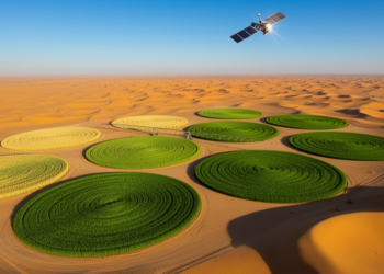
Satellites Track Wheat Growth Stages in Saudi Arabia’s Desert Farmland
Researchers showed that simple curve-based rules applied to freely available Sentinel-2 and Sentinel-1 satellite data can accurately retrieve five key ...
Researchers showed that simple curve-based rules applied to freely available Sentinel-2 and Sentinel-1 satellite data can accurately retrieve five key ...
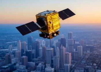
A three-sensor comparison over Lahore shows the PRISMA hyperspectral satellite dramatically improves classification of transitional urban-density classes, while confirming that ...

Researchers in Lucknow, India, combined free Sentinel-2 satellite phenology, MaxEnt habitat modelling and Google Street View checks to locate and ...
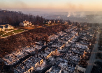
A spatially validated GeoAI analysis of 12,081 damage inspections from the 2025 Palisades Fire finds neighborhood building density was the ...
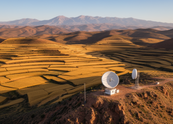
Deep in the Rif Mountains of northern Morocco, where cereal fields cling to steep slopes and olive groves dot the ...
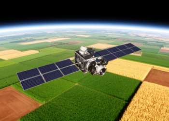
A systematic search of more than a thousand candidate vegetation indices found that a simple four-band formula outperforms NDVI for ...
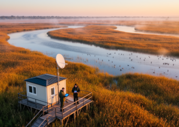
A new study shows that free satellite data from Copernicus, Landsat, and fire-detection services have replaced a century of sparse ...
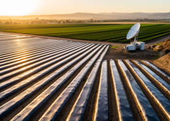
A new spectral classification of Sentinel-2 imagery maps dark and bright plastic mulch across a California agricultural hotspot with 98 ...
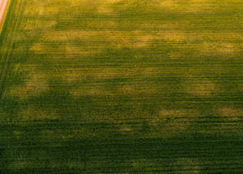
Researchers in Spain show that the standard deviation of satellite-derived NDVI, especially during crop senescence, offers a low-cost way to ...
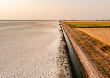
A new satellite-based machine learning study shows that irrigated farmland in Ukraine's Kherson and Zaporizhzhia oblasts has collapsed by about ...


Embark on a thrilling journey of discovery with Scienmag.com—your ultimate source for cutting-edge breakthroughs. Immerse yourself in a world where curiosity knows no limits and tomorrow’s possibilities become today’s reality!