

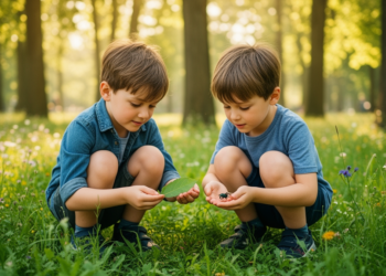
Children Living Near Greener Landscapes Feel Deeper Bonds with Nature, Satellite Study Finds
A study of 533 Italian schoolchildren combining satellite imagery with psychometric scales found that children in highly natural residential areas ...
A study of 533 Italian schoolchildren combining satellite imagery with psychometric scales found that children in highly natural residential areas ...
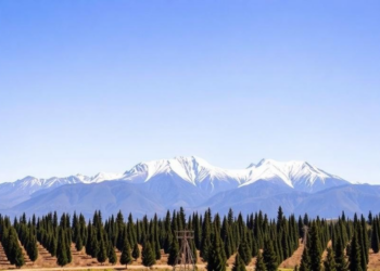
Researchers turned tourist photos on Instagram into 1,238 ground truthing points to validate a satellite-based map of the lenga beech ...
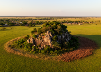
A fifteen-year satellite analysis of Benin's inselberg landscapes reveals steep declines in forest and wooded savanna and shows that protected ...
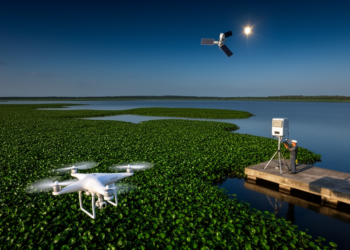
A new review of 56 studies shows how satellites, drones and radar are transforming the fight against water hyacinth, one ...

A new national-scale mapping effort using high-resolution satellite imagery has produced Indonesia's first government-endorsed extent maps of coral reefs, seagrass ...

Using Sentinel-2 imagery, object-based image analysis and a random forest classifier, researchers produced the first high-accuracy map of Bai Tu ...
A new deep learning study around Hluhluwe-iMfolozi Park reveals that human-wildlife conflict hotspots concentrate along protected-area boundaries in landscapes undergoing ...
A new harmonization-based super-resolution workflow shows that cross-sensor radiometric calibration, not network architecture, is the largest contributor to sharpening free ...
Along the sun-scorched coastlines of Ras Al Khaimah in the United Arab Emirates, one of the most thermally extreme mangrove ...
A field study in a fire-scarred Turkish Pinus brutia forest shows that the Sentinel-2 indices dNBR, RdNBR, and NDVI each ...


Embark on a thrilling journey of discovery with Scienmag.com—your ultimate source for cutting-edge breakthroughs. Immerse yourself in a world where curiosity knows no limits and tomorrow’s possibilities become today’s reality!