

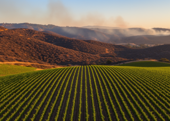
Vineyards Showed Less Burn Severity in the 2019 Kincade Fire, But No Firebreak Effect
Satellite analysis of the 2019 Kincade Fire found vineyards showed far lower spectral burn response than surrounding wildland, but rigorous ...
Satellite analysis of the 2019 Kincade Fire found vineyards showed far lower spectral burn response than surrounding wildland, but rigorous ...
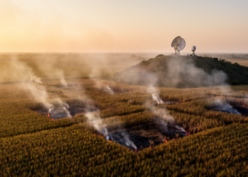
A systematic review of 177 studies finds that coarse-resolution global fire inventories miss most small sugarcane burns while documenting severe ...
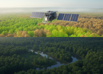
A Sentinel-2 and Random Forest study mapped substantial seasonal and interannual redistribution of forest canopy density across Orchha Wildlife Sanctuary ...
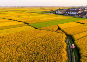
Researchers built a 30-meter-resolution maize production map of China for 2019 and 2020 by downscaling official provincial statistics with satellite-derived ...
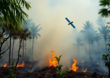
A systematic review of 23 studies finds that optical satellites can reliably detect flaming tropical peatland fires but struggle to ...
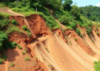
Nine years of Sentinel-2 monitoring across 85 landslide scars in southern Brazil show that recovery follows a nonlinear trajectory shaped ...
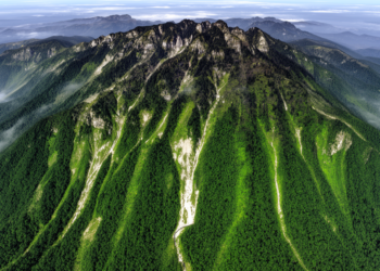
A Google Earth Engine analysis found significant vegetation improvement across 41.65% of Fanjing Mountain from 1987 to 2022 and mapped ...
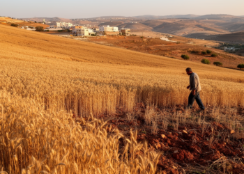
A national satellite study estimated that Lebanon’s wheat area ranged from 27,212 to 69,194 hectares across 2017–2025, with sharp contractions ...
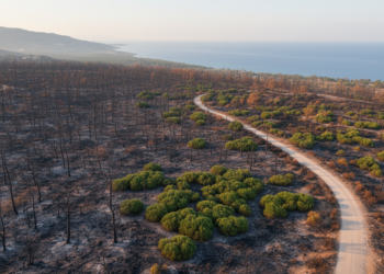
Object-based machine-learning models mapped burned forests from Sentinel-2 imagery, retaining overall accuracies above 83% in transfer tests at selected Mediterranean ...
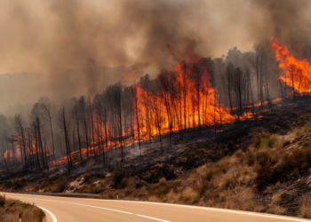
A retrospective study of Spain’s 2025 Jarilla wildfire found that extreme atmospheric drying and continuous, water-stressed fuel drove widespread high ...


Embark on a thrilling journey of discovery with Scienmag.com—your ultimate source for cutting-edge breakthroughs. Immerse yourself in a world where curiosity knows no limits and tomorrow’s possibilities become today’s reality!