

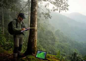
Field plots and Sentinel-2 imagery map forest carbon across a tropical altitude gradient
Combining permanent field plots in Mizoram with Sentinel-2 satellite data, researchers estimated that low-altitude tropical forests hold about 456 tonnes ...
Combining permanent field plots in Mizoram with Sentinel-2 satellite data, researchers estimated that low-altitude tropical forests hold about 456 tonnes ...
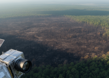
A study of 9,129 North American wildfires finds that radar delivers the fastest post-fire satellite imagery while multispectral sensors map ...
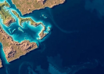
A new study combined Sentinel-2 imagery, the Stumpf band ratio algorithm, and the Allen Coral Atlas to map shallow-water bathymetry ...
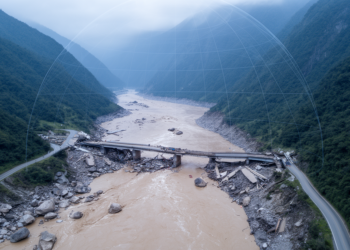
A Sentinel-2 and Google Earth Engine study of Nepal's 2021 Melamchi debris flood found NDVI outperformed water indices for mapping ...
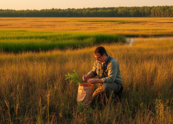
A new study combined Sentinel-2 satellite data with field measurements to map grassland fuels at 10-meter resolution and model how ...
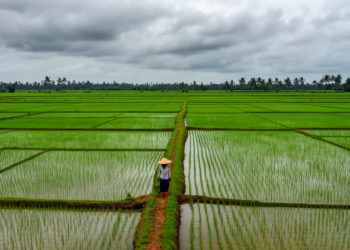
Radar time-series features from Sentinel-1 lifted land-cover classification in India's cloud-prone Cauvery Delta to 72 percent accuracy, with simple logistic ...
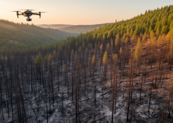
A case study of Oregon's 2020 Holiday Farm Fire found that the widely used dNBR burn-severity index captured broad fire-effect ...
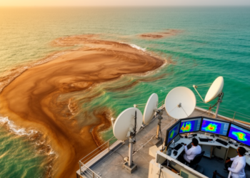
A three-year Sentinel-2 record of Chennai's Ennore Creek combined with machine learning has produced an operational framework that maps turbid ...
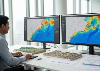
A machine learning framework combining satellite radar, optical, elevation and rainfall data mapped flood inundation across Mumbai, with hydrologic predictors ...

A new GIS-based study of Delhi mapped 1,167 urban waterbodies and found that only 212, about 18 percent, have terrain ...


Embark on a thrilling journey of discovery with Scienmag.com—your ultimate source for cutting-edge breakthroughs. Immerse yourself in a world where curiosity knows no limits and tomorrow’s possibilities become today’s reality!