


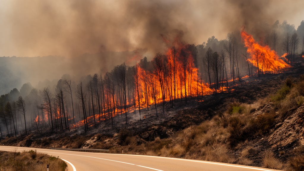
The 2025 Jarilla wildfire in western Spain burned 17,317 hectares across 18 municipalities, but the landscape-wide severity of the blaze was driven mainly by exceptionally dry weather acting on continuous, already water-stressed vegetation. A retrospective analysis found that steep terrain aligned with the wind created corridors with higher average burn severity, yet 84% of the severely burned area lay outside those corridors. The result suggests that wind and topography organized local severity peaks rather than serving as prerequisites for high-severity burning throughout the fire.
The Jarilla fire was ignited by lightning on August 12, 2025, and officially began the following day in Cáceres, northern Extremadura. It spread with extreme behavior across the surface, through the canopy and underground, while flying embers produced secondary spot fires. The fire was declared under control on August 24 and fully extinguished on September 28, although satellite detections of active fire had ceased after August 21. Merged observations from three VIIRS satellites showed a rapid advance from August 13 through 17, a period when the fire traversed most of the ultimately affected area, followed by slower expansion along the eastern flank and in the north-northeastern sector as conditions moderated.
Hot, dry conditions were already established before ignition. Between August 5 and 11, daily maximum temperatures ranged from 35.6 to 38.9°C, minimum relative humidity fell between 14.7% and 21.2%, and maximum vapor pressure deficit, a measure of the atmosphere’s drying power, reached 4.5 to 5.8 kPa. The Fire Weather Index was in the extreme-danger class on every day except August 9, when it was classified as very high. These conditions coincided with a pre-fire Sentinel-2 composite showing mean vegetation vigor, measured by the Normalized Difference Vegetation Index, of 0.53. At the same time, the mean Normalized Difference Infrared Index, used here as an indicator of moisture in living vegetation, was only 0.05 and fell to -0.20 at the fifth percentile. The fire therefore encountered both abundant fuel and severe vegetation water stress.
The episode’s most hazardous phase ran from August 12 through 17. Across those six days, temperature reached 38.8°C, relative humidity dropped to 14.8%, and vapor pressure deficit peaked at 5.9 kPa. The Fire Weather Index remained in its extreme class and reached 70.3 on August 15. From 1 p.m. to 8 p.m. during the active phase, temperature exceeded 30°C and relative humidity remained below 30% in every hour, satisfying two of the three conditions in the “three thirties” rule for extreme fire behavior. The third condition was not met because the maximum hourly wind recorded during August 12–24 was only 15.8 km/h. The weather was therefore extreme primarily through heat and atmospheric desiccation rather than exceptionally strong synoptic wind.
Wind nevertheless played an important organizing role. The hourly circulation had two distinct regimes. North-easterly flow was the most frequent, but it was generally weak and occurred mainly at night. A south-to-south-south-westerly flow dominated the hottest afternoons and the period of greatest fire advance, appearing during approximately 92% of daylight hours from 1 p.m. to 8 p.m. This flow coincided with the lowest humidity and highest vapor pressure deficit and pushed the advancing front toward the northeast, matching the reconstructed southwest-to-northeast progression. The steering direction rotated clockwise as the event continued, helping explain the fire’s later shift toward the eastern flank. Because these data came from one ERA5 reanalysis grid cell at 0.25° resolution, they represent the broader synoptic flow rather than potentially stronger local winds channeled by slopes and valleys.
The terrain was rugged, with elevations spanning 355 to 2,369 meters inside the fire perimeter. Mean slope was 21.2 degrees, the maximum was 78.5 degrees, and slopes of at least 15 degrees covered 72.6% of the burned area. About 36.1% of the perimeter had an aspect favorably aligned with the south-south-westerly wind; combining that alignment with slopes of at least 15 degrees produced 4,778 hectares, or 27.5% of the fire. The researchers used a 5-meter national elevation model to identify propagation corridors, defined as pixels where slope was at least 15 degrees, wind-slope alignment fell within 60 degrees of the source wind, and vegetation vigor exceeded the within-fire median. With the south-south-westerly flow, these corridors covered 2,376 hectares, or 13.7% of the burned area. A northeast-wind version covered 1,924 hectares, or 11.1%.
Post-fire satellite measurements showed that severity was extensive well beyond these corridors. The mean differenced Normalized Burn Ratio, or dNBR, across the perimeter was 545, and 93.6% of the area, or 16,212 hectares, registered some degree of burn. Moderate-high and high severity together covered 10,890 hectares, equivalent to 62.9% of the fire. Inside the south-south-westerly propagation corridors, mean dNBR was 664.6 and 75.0% of the area fell in the combined high-severity classes. Outside them, mean dNBR was 525.4 and 61.0% met the same threshold. The corridors were therefore consistently associated with comparatively severe burning, but they contained only 1,783 hectares, or 16.4%, of all high-severity area. Most of that area—9,107 of 10,890 hectares—was outside the mapped corridors.
The contrast remained stable when the researchers varied the thresholds used to define the corridors. Across combinations of 10-, 15- and 20-degree slopes, wind alignments of plus or minus 45 to 75 degrees, and vegetation-vigor cutoffs at the 40th, 50th or 60th percentile, corridor extent ranged from 1,727 to 2,961 hectares, or 10% to 17.1% of the perimeter. Mean dNBR within the corridors remained between 659 and 669, compared with 521 to 531 outside. The size and precise boundaries of the corridors depended on the chosen thresholds, but their relatively elevated severity did not. Results using the northeast flow were similar, and a progressive filtering exercise showed that adding slope, fuel continuity and wind alignment to the whole perimeter increased the share classified as high severity from 62.9% to 67.3%, 71.7% and 75.0%, respectively.
These findings do not establish that the three factors acted independently, and the study has important limitations. It examines one fire retrospectively, uses a single meteorological grid point, treats the principal driving wind as a static south-south-westerly direction even though it rotated during the event, and infers fire behavior indirectly from post-fire dNBR rather than measuring front speed or intensity. The dNBR severity classes used in the analysis had not been validated with field observations for this fire, and their transferability depends on vegetation, pre-fire conditions, image timing and methodology. The authors also caution that the corridor mapping is a decision-support concept derived from one event, not an operationally validated tool. Nevertheless, within the evidence available, the spatial pattern is consistent with a broader pattern: during an extreme atmospheric drought, dry and connected fuels allowed high severity across most of the landscape, while wind-aligned slopes and fuels locally intensified the burn without determining where severe burning occurred.
Subject of Research: Weather, terrain and fuel controls on the 2025 Jarilla wildfire in western Spain
Article Title: How do weather, topography and fuel condition drive the extreme behavior of a Mediterranean megafire? A case study of the 2025 Jarilla wildfire (western Spain)
Article References: Hernández-Sánchez, L., & Francos, M. (2026). How do weather, topography and fuel condition drive the extreme behavior of a Mediterranean megafire? A case study of the 2025 Jarilla wildfire (western Spain). Frontiers in Forests and Global Change, 9, Article 1953360. https://doi.org/10.3389/ffgc.2026.1953360
Image Credits: AI Generated
DOI: 10.3389/ffgc.2026.1953360
Keywords: Jarilla wildfire, Mediterranean megafire, burn severity, vapor pressure deficit, fire weather index, wind-slope alignment, vegetation fuel continuity, Sentinel-2, ERA5 reanalysis, VIIRS fire detection, weather, topography
Cite Scienmag News
Lucy Donovan. (October 20, 2026). Extreme weather and dry fuel drove Spain’s Jarilla megafire. Scienmag. https://scienmag.com/extreme-weather-and-dry-fuel-drove-spains-jarilla-megafire/
Lucy Donovan. "Extreme weather and dry fuel drove Spain’s Jarilla megafire." Scienmag, 20 October 2026, https://scienmag.com/extreme-weather-and-dry-fuel-drove-spains-jarilla-megafire/. Accessed 20 October 2026.
Lucy Donovan. "Extreme weather and dry fuel drove Spain’s Jarilla megafire." Scienmag. October 20, 2026. https://scienmag.com/extreme-weather-and-dry-fuel-drove-spains-jarilla-megafire/


