

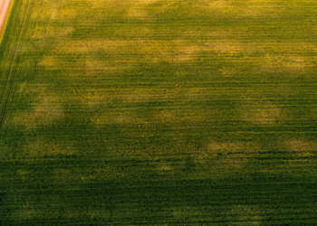
Satellite NDVI Spread Reveals Hidden Soil Differences Inside Single Farm Fields
Researchers in Spain show that the standard deviation of satellite-derived NDVI, especially during crop senescence, offers a low-cost way to ...
Researchers in Spain show that the standard deviation of satellite-derived NDVI, especially during crop senescence, offers a low-cost way to ...
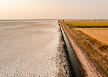
A new satellite-based machine learning study shows that irrigated farmland in Ukraine's Kherson and Zaporizhzhia oblasts has collapsed by about ...
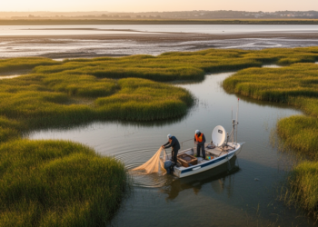
A new study combining satellite imagery and field surveys reveals that non-native fish dominate the wetlands of Portugal's Lower Tagus ...
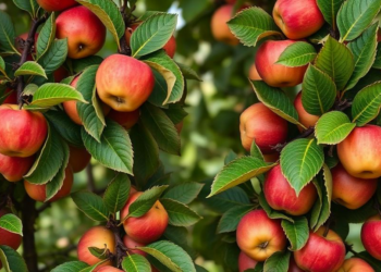
An eight-year satellite study of an Azerbaijani apple orchard shows NDVI can reliably predict yields only for individual plots of ...

A new editorial argues that remote sensing and AI can build genuine urban resilience only by linking observation to understanding, ...
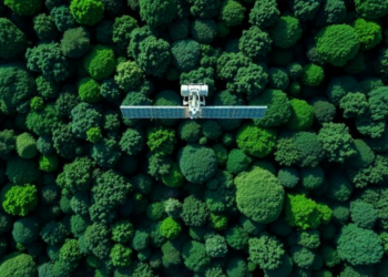
By fusing L-band radar from ALOS-2 with Sentinel-2 optical data and a weighted machine learning ensemble, researchers have mapped above-ground ...
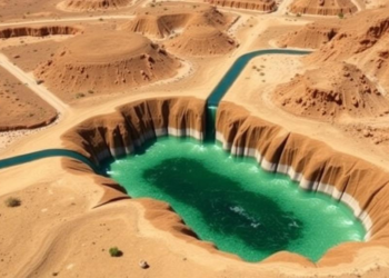
Researchers in Iran combined Sentinel-2 satellite data, hybrid machine learning, and game theory to rank groundwater quality parameters, finding that ...
A new study in Argentina's Monte desert shows that whether pixel-based or object-based satellite classification works best for detecting open ...
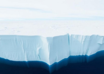
An eight-year satellite study of East Antarctica's Nivlisen Ice Shelf reveals meltwater rivers that swell, connect and vanish with the ...
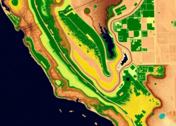
A new PLOS Water study combines Sentinel-2 satellite data, OpenET evapotranspiration estimates, and unsupervised machine learning to reveal 13 distinct ...


Embark on a thrilling journey of discovery with Scienmag.com—your ultimate source for cutting-edge breakthroughs. Immerse yourself in a world where curiosity knows no limits and tomorrow’s possibilities become today’s reality!