

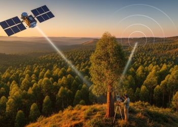
Satellites, Lasers and Radar Join Forces to Weigh Ethiopia’s Forests
By fusing spaceborne LiDAR, radar and optical satellite data with field plots, researchers have produced high-resolution canopy height and biomass ...
By fusing spaceborne LiDAR, radar and optical satellite data with field plots, researchers have produced high-resolution canopy height and biomass ...
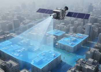
A new Enhanced NDWI combined with a hybrid fusion technique reduces false alarms in satellite-based urban flood detection from 38 ...

Researchers reconstructed ten years of motion at a giant slow-moving landslide in northwest Argentina and showed how seasonal illumination biases ...
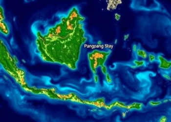
A new study shows that Sentinel-2 satellite NDVI can estimate mangrove aboveground biomass and carbon stocks in Indonesia's Pangpang Bay, ...
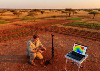
A new study in Nigeria's Guinea Savanna shows that machine learning algorithms, led by Cubist, dramatically outperform traditional Ordinary Kriging ...
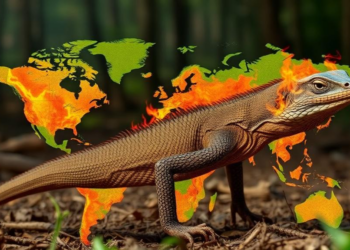
A new machine-learning study maps Komodo dragon habitat suitability and wildfire risk across Komodo National Park, revealing that five percent ...

A new InVEST model assessment of Sharjah, UAE shows that vegetated and agricultural lands retain about 80 percent of the ...

A new deep learning and ensemble learning framework reaches up to 93.04% accuracy in estimating aboveground biomass across three contrasting ...
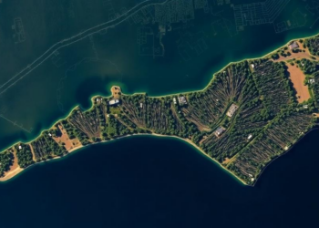
A new PLOS One study using AI analysis of satellite imagery finds North Carolina lost 21 percent of its coastal ...
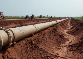
A new study in northwestern Nigeria statistically tested whether Sentinel-2 satellite indices can substitute for ground-based resistivity surveys in assessing ...


Embark on a thrilling journey of discovery with Scienmag.com—your ultimate source for cutting-edge breakthroughs. Immerse yourself in a world where curiosity knows no limits and tomorrow’s possibilities become today’s reality!