


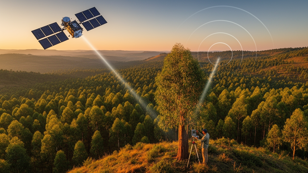
Deep in the northwestern highlands of Ethiopia, where the forests of the Upper Blue Nile basin feed the headwaters of one of Africa’s great rivers, a team of researchers has found a way to weigh the trees without touching them. A new study published in Discover Sustainability by Habtamu Kerebeh of the Space Science and Geospatial Institute in Addis Ababa and Habitamu Taddese of Hawassa University demonstrates that fusing data from space lasers, radar satellites and optical imagers can map forest aboveground biomass density with remarkable precision, reaching a coefficient of determination of 0.972 and an error of just 18.27 megagrams per hectare. The work offers a template for carbon accounting in some of the world’s most data-poor landscapes, and it arrives at a moment when accurate, repeatable forest measurements have become a cornerstone of climate policy.
Aboveground biomass density, often abbreviated AGBD, is the dry mass of living vegetation per unit area held in trunks, branches and foliage. It is the single most important number for converting a forest map into a carbon budget, because roughly half of dry woody biomass is carbon by mass. Yet measuring it directly is brutal work: field crews must identify trees in sample plots, measure trunk diameters at breast height, estimate or measure heights, apply allometric equations that convert those dimensions into mass, and then extrapolate from a handful of plots to entire landscapes. In the rugged, fragmented terrain of the Upper Blue Nile basin, where forest patches interleave with farmland on steep slopes, that extrapolation has historically been the weakest link. The new study attacks exactly that gap by using field plots as ground truth and letting machine learning do the scaling.
The technological heart of the study is a deliberate marriage of sensors that see the forest in fundamentally different ways. The researchers drew on GEDI L2A, a product from NASA’s Global Ecosystem Dynamics Investigation, a full-waveform light detection and ranging instrument mounted on the exterior of the International Space Station. GEDI fires laser pulses at the canopy and records the returning energy, yielding precise vertical profiles of the forest from which metrics such as RH98, the height below which 98 percent of returned energy lies, can be extracted. Because the instrument samples the ground in discrete footprints along orbital tracks rather than imaging every square meter, its observations must be interpolated to produce continuous maps, and that is where the other sensors come in.
To fill the gaps between GEDI footprints, the team turned to Planet-NICFI imagery, a high-resolution basemap program covering the tropics, alongside the European Sentinel-2 optical satellites and the Japanese ALOS PALSAR-2 radar mission. Optical data captures spectral signatures of green vegetation, including indices sensitive to canopy density, but it saturates in dense forests and is hostage to the region’s persistent cloud cover. Radar, by contrast, penetrates clouds and responds to the water content and structure of woody biomass, but its longer wavelengths also suffer from saturation in tall, humid forests. The researchers’ central premise was that no single sensor could carry the full signal, and their results bore this out: combining LiDAR, radar and optical variables consistently outperformed any sensor alone, alleviating the saturation effects that plague single-sensor approaches.
All of this data crunching happened on Google Earth Engine, the cloud-based planetary computing platform that has quietly transformed environmental science by letting researchers process petabyte-scale archives without downloading a single image. The modeling engine was Random Forest, an ensemble machine learning method that builds hundreds of decision trees on random subsets of the training data and averages their predictions. Random Forest has become the workhorse of satellite-based biomass mapping because it handles nonlinear relationships, resists overfitting, and tolerates the mixed predictor types that multi-sensor fusion produces. In the first stage of the analysis, the team trained a Random Forest model to predict forest canopy height, using field measurements as the reference and GEDI RH98 observations fused with Planet-NICFI imagery as predictors.
The canopy height model was the study’s first headline result. By integrating GEDI L2A RH98 observations with Planet-NICFI imagery, the researchers achieved a modeling performance of R-squared equal to 0.89 with a root mean square error of 1.91 meters, and from that model they produced a forest canopy height product for the year 2023 at an unprecedented 5-meter spatial resolution. That resolution matters enormously in a landscape like the Upper Blue Nile basin, where forest fragments are often smaller than the pixel of coarser global products. A 5-meter map can distinguish a remnant church forest from the surrounding cropland, capture edges where biomass degrades fastest, and support management decisions at the scale at which Ethiopian foresters actually operate.
With canopy height established, the study moved to its main event: predicting biomass density itself. The researchers used field-derived AGBD as reference data and trained Random Forest models on GEDI L2A, ALOS PALSAR-2 and Sentinel-2 variables, first with each sensor independently and then with the multi-sensor integration. The integrated model was the clear winner, yielding an R-squared of 0.972 and a root mean square error of 18.27 megagrams per hectare. From this model the team generated an AGBD product at 10-meter spatial resolution for 2023, incorporating multisource remote sensing variables together with topographic information such as elevation and slope, which strongly influence both forest structure and species composition in mountainous terrain.
When the researchers compared their satellite-derived biomass map against the field measurements, the spatial distribution patterns matched closely, with the GEDI-derived canopy height product adding enhanced detail and accuracy in dense, high-canopy forests, precisely the environments where optical and radar data tend to falter. This validation step is what elevates the study from a technical exercise to a usable product. A biomass map is only as good as its ground truth, and the agreement between predicted and measured values across the basin suggests the method captures real ecological structure rather than statistical artifacts. For a region where forest loss and degradation drive both carbon emissions and watershed decline, a trustworthy, current, wall-to-wall map is a genuinely scarce commodity.
The implications ripple outward well beyond Ethiopia. Under international frameworks such as REDD+, developing countries can receive performance-based payments for verified emissions reductions from avoided deforestation, but verification demands exactly the kind of accurate, repeatable biomass accounting this study delivers. The same data streams feed national greenhouse gas inventories, forest management plans, and the growing voluntary carbon market, where inflated or uncertain baselines have repeatedly undermined credibility. Because the workflow runs on Google Earth Engine using freely available Sentinel data and open products like GEDI, the approach is replicable by national agencies and universities in other data-scarce tropical regions without prohibitive computing costs, lowering the barrier that has historically kept high-quality carbon mapping confined to wealthy institutions.
The study also offers a glimpse of where forest monitoring is heading. Spaceborne LiDAR from GEDI, radar backscatter from missions like ALOS PALSAR-2 and the upcoming generation of bistatic radar satellites, and ever-improving optical constellations are converging into a multi-sensor ecosystem in which the weaknesses of each instrument are patched by the strengths of the others. Machine learning provides the glue, and cloud platforms provide the scale. Kerebeh and Taddese frame their findings as evidence-based support for forest policy, climate change mitigation and sustainable ecosystem management, and the numbers back the framing: sub-2-meter height accuracy and a near-0.97 correlation for biomass in a fragmented tropical highland landscape would have been unthinkable a decade ago. As the final version of the open-access paper enters the literature, its 5-meter canopy height and 10-meter biomass maps of the Upper Blue Nile stand as proof that the world’s most important forests can now be weighed from orbit, one fused pixel at a time.
Subject of Research: Multi-source remote sensing estimation of forest aboveground biomass in the Upper Blue Nile basin, northwestern Ethiopia
Article Title: Assessment of aboveground biomass using integrated multi-source remote sensing and field data in forests of the Upper Blue Nile basin Northwestern Ethiopia
Article References: Kerebeh, H., & Taddese, H. (2026). Assessment of aboveground biomass using integrated multi-source remote sensing and field data in forests of the Upper Blue Nile basin Northwestern Ethiopia. Discover Sustainability. https://doi.org/10.1007/s43621-026-04933-9
Image Credits: AI Generated
DOI: 10.1007/s43621-026-04933-9
Keywords: aboveground biomass, remote sensing, GEDI, LiDAR, Sentinel-2, ALOS PALSAR-2, Random Forest, Google Earth Engine, canopy height, Ethiopia, forest carbon, data fusion
Cite Scienmag News
Violet Maxwell. (October 9, 2026). Satellites, Lasers and Radar Join Forces to Weigh Ethiopia’s Forests. Scienmag. https://scienmag.com/satellites-lasers-and-radar-join-forces-to-weigh-ethiopias-forests/
Violet Maxwell. "Satellites, Lasers and Radar Join Forces to Weigh Ethiopia’s Forests." Scienmag, 9 October 2026, https://scienmag.com/satellites-lasers-and-radar-join-forces-to-weigh-ethiopias-forests/. Accessed 9 October 2026.
Violet Maxwell. "Satellites, Lasers and Radar Join Forces to Weigh Ethiopia’s Forests." Scienmag. October 9, 2026. https://scienmag.com/satellites-lasers-and-radar-join-forces-to-weigh-ethiopias-forests/


