


Spaceborne Laser and National Forest Data Sharpen Productivity Maps for Small Forest Units
Combining GEDI spaceborne LiDAR data with French National Forest Inventory records in Fay-Herriot small area models cut the uncertainty of ...
Combining GEDI spaceborne LiDAR data with French National Forest Inventory records in Fay-Herriot small area models cut the uncertainty of ...
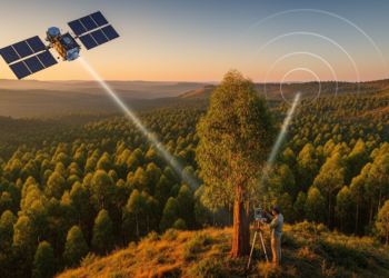
By fusing spaceborne LiDAR, radar and optical satellite data with field plots, researchers have produced high-resolution canopy height and biomass ...
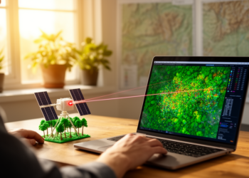
An open-source QGIS plugin called GEDIMetrics now automates the discovery, filtering, and fusion of NASA's GEDI spaceborne LiDAR products, making ...


Embark on a thrilling journey of discovery with Scienmag.com—your ultimate source for cutting-edge breakthroughs. Immerse yourself in a world where curiosity knows no limits and tomorrow’s possibilities become today’s reality!