

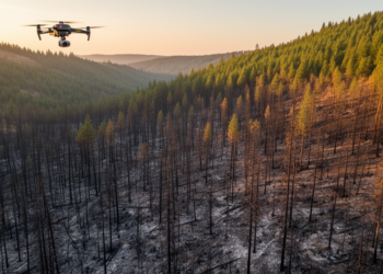
Burn severity maps miss real forest structural loss after Oregon fire
A case study of Oregon's 2020 Holiday Farm Fire found that the widely used dNBR burn-severity index captured broad fire-effect ...
A case study of Oregon's 2020 Holiday Farm Fire found that the widely used dNBR burn-severity index captured broad fire-effect ...

A 22-flight drone LiDAR experiment in a French poplar plantation shows tree heights are robust to almost any flight setting, ...

A new deep-learning framework fusing sub-meter GaoFen imagery, tree crown segmentation and canopy height data has produced a 30 m ...
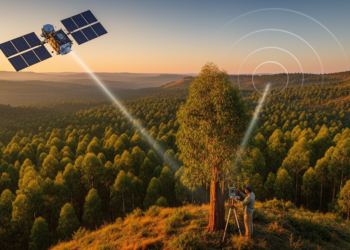
By fusing spaceborne LiDAR, radar and optical satellite data with field plots, researchers have produced high-resolution canopy height and biomass ...
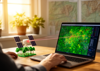
An open-source QGIS plugin called GEDIMetrics now automates the discovery, filtering, and fusion of NASA's GEDI spaceborne LiDAR products, making ...


Embark on a thrilling journey of discovery with Scienmag.com—your ultimate source for cutting-edge breakthroughs. Immerse yourself in a world where curiosity knows no limits and tomorrow’s possibilities become today’s reality!