

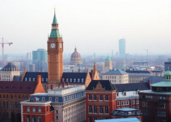
Tiny Urban Voids Could Cool Historic Cities by Several Degrees, Study Finds
Researchers in Catania have developed a protocol that identifies tiny sealed urban voids and shows through microclimate simulation that converting ...
Researchers in Catania have developed a protocol that identifies tiny sealed urban voids and shows through microclimate simulation that converting ...
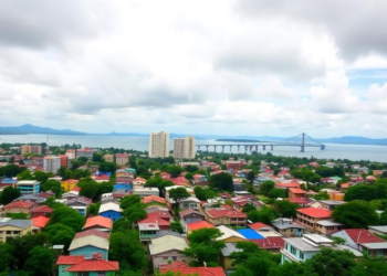
Satellite records show Port-au-Prince's built-up area more than quadrupled between 2015 and 2025, converting the vegetated slopes that regulate runoff ...
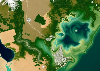
A multi-sensor satellite study shows that Sindh's 2022 floodwaters peaked in September, after rainfall had normalized, revealing that persistent atmospheric ...
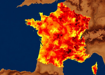
A new remote sensing and multi-criteria framework maps forest fire vulnerability across Gironde, France, revealing that nearly half the department ...
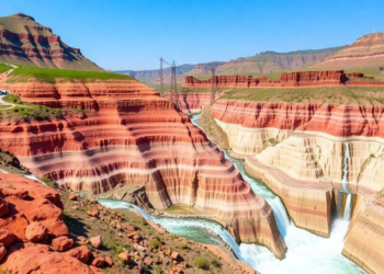
Researchers have produced the first high-resolution maps of sediment transport and connectivity across Central Asia's major river basins, using a ...
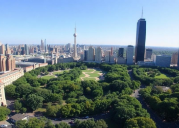
A satellite analysis of 456 green patches in Lucknow, India, shows that urban cooling rises with patch size up to ...
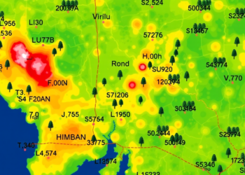
University of British Columbia researchers have developed satellite-based heat mapping and shade modelling tools that show cities exactly where tree ...
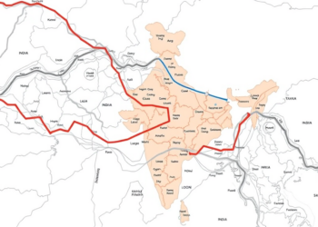
A new study combines interpretable machine learning and satellite change detection to build dynamic socio-environmental baselines along the Char Dham ...

A new study in the Brazilian Cerrado shows that the phenological stage at which satellite images are captured can be ...
Researchers used Sentinel-2 satellite imagery and machine learning to detect and track persistent water hyacinth infestations in lakes across five ...


Embark on a thrilling journey of discovery with Scienmag.com—your ultimate source for cutting-edge breakthroughs. Immerse yourself in a world where curiosity knows no limits and tomorrow’s possibilities become today’s reality!