


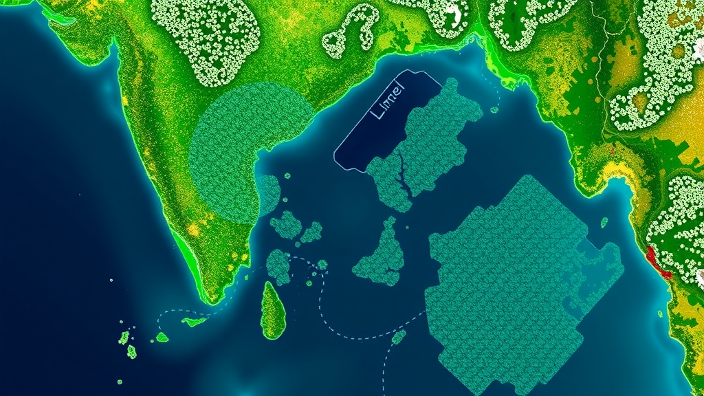
Across India’s fastest-growing cities, an aggressive South American water plant is quietly strangling the lakes that once defined them. Water hyacinth, known scientifically as Eichhornia crassipes, forms dense floating mats that block sunlight, deplete oxygen, clog fishing gear and water intakes, and displace native aquatic life. A new study published in Environmental Science and Pollution Research has now delivered the most comprehensive satellite-based picture yet of this invasion, tracking infestations in hundreds of large lakes across five major Indian urban agglomerates: Mumbai, Kolkata, Bengaluru, Chennai and Hyderabad. Using free imagery from the European Space Agency’s Sentinel-2 satellites and a battery of machine learning classifiers, researchers from the National Remote Sensing Centre of the Indian Space Research Organisation and partner institutions have produced multi-year maps that reveal exactly where the weed has taken hold and where it keeps coming back.
The technical core of the study rests on Sentinel-2’s Multispectral Instrument, which images the entire land surface every five days at a spatial resolution of up to ten metres. That combination of revisit frequency and resolution is critical for lake monitoring, because water hyacinth mats can expand or be cleared within weeks. The researchers processed post-monsoon satellite scenes from 2021 through 2025, computing a suite of spectral indices designed to separate water from vegetation. These included the Normalized Difference Water Index for delineating open water, the Normalized Difference Vegetation Index for general vegetation vigour, the Soil Adjusted Vegetation Index and its modified variant for accounting for background soil and water reflectance, and an atmosphere-resistant vegetation index. Floating aquatic vegetation presents a distinctive spectral signature: strong reflectance in the near-infrared band typical of healthy leaves, combined with the water background beneath and around the mats, which allows trained classifiers to distinguish it from submerged plants, algae and shoreline vegetation.
Four supervised machine learning algorithms were pitted against one another: Support Vector Machine, XGBoost, Random Forest and K-Nearest Neighbours. Each was trained on labelled reference pixels derived from careful manual interpretation of the imagery, and each was evaluated with a rigorous set of classification metrics, including overall accuracy, precision, recall, F1-score, Cohen’s kappa and cross-validated F1-score. On paper, all four models performed impressively, achieving high quantitative accuracy. But the team looked beyond the numbers. When they examined the actual maps, only the Support Vector Machine produced outputs that were spatially coherent and cartographically consistent, without the salt-and-pepper noise and fragmented patches that plagued some competitors. Support vector machines, which work by finding optimal separating hyperplanes in high-dimensional feature space, have long been prized in remote sensing for performing well with limited training data and complex spectral classes, and this study confirms that reputation in an aquatic setting.
A crucial strength of the work lies in its validation strategy. The researchers deliberately withheld two lakes from both model training and hyperparameter optimisation, creating a genuinely independent test of whether the classifier could transfer to lakes it had never seen. When the model-derived water hyacinth extents for these holdout lakes were compared with manually digitised reference maps, the differences remained below two percent, with the small residual attributable mainly to pixel-level boundary effects, the familiar ambiguity that arises when a ten-metre pixel straddles the edge of a weed mat. This level of agreement demonstrates that the approach is not merely memorising the spectral characteristics of specific lakes but learning a generalisable signature of floating vegetation, a prerequisite for any operational monitoring system.
With the validated Support Vector Machine in hand, the team scaled up to all eligible large lakes across the five metropolitan regions for five consecutive post-monsoon seasons. The resulting maps reveal pronounced spatial heterogeneity in how the infestation behaves. Kolkata and Bengaluru emerged as the hotspots, exhibiting the highest number of lakes that remain persistently infested year after year. Mumbai presented a strikingly different pattern, characterised by a single lake that is consistently affected. Chennai and Hyderabad fell in between, showing intermediate levels of persistence. These differences likely reflect the interplay of lake morphology, catchment land use, nutrient loading and the varying intensity of local management interventions, although the authors are careful to note that these potential drivers were not evaluated directly in the present study.
One of the most consequential findings is geographic: water hyacinth is not confined to the urban core. The infestations frequently extended into peri-urban and suburban zones, areas that often fall between administrative jurisdictions and receive less monitoring attention. This pattern is consistent with mechanisms reported in previous research, including nutrient enrichment from untreated or partially treated wastewater, continuous inflows of sewage and agricultural runoff, altered catchment hydrology due to rapid land-use change, and fragmented governance in which responsibility for a single lake may be split among multiple agencies. In rapidly urbanising Indian cities, where lakewater bodies double as flood buffers, groundwater recharge zones and community spaces, the unchecked spread of an invasive macrophyte signals deeper failures in catchment management rather than a problem that can be solved by harvesting alone.
The ecological stakes are substantial. Water hyacinth is among the world’s most notorious aquatic invaders, capable of doubling its population in as little as two weeks under favourable conditions. Its mats shade out submerged vegetation, reduce dissolved oxygen through decay, alter water chemistry and provide breeding habitat for disease vectors. For cities, the consequences cascade into fisheries losses, obstructed navigation, reduced hydropower and irrigation capacity, and increased evaporation from infested surfaces. Previous systematic reviews have documented impacts on rural communities across the tropics, and the new study extends this concern into the heart of India’s megacities, where lake restoration projects have consumed enormous public investment with mixed long-term success.
What makes this research genuinely transformative is its scalability and cost. Sentinel-2 data are freely available through the Copernicus Data Space Ecosystem, and the trained classifier can be re-applied whenever new imagery arrives, turning lake monitoring from an occasional, labour-intensive field campaign into a continuous, near-real-time service. The authors emphasise that combining classification-based accuracy assessment with spatially explicit, multi-year mapping allows authorities to prioritise restoration efforts evidence-based, directing scarce resources toward the persistently infested lakes where intervention is most urgent, and tracking the results of clean-up operations from orbit. Manually digitised reference data and classification outputs are available from the corresponding author for academic and non-commercial research purposes, lowering the barrier for other researchers and city agencies to adopt and adapt the framework.
The study also carries a caution for the growing field of environmental machine learning. High accuracy scores alone, the authors show, do not guarantee useful maps. A model can post excellent precision and recall while producing spatially incoherent output that would mislead a planner on the ground. By insisting that winning classifiers also deliver cartographically consistent results and pass independent transfer tests, the researchers offer a methodological template that other remote sensing applications, from algal bloom detection to wetland inventories, would do well to emulate. As climate change and urbanisation continue to intensify pressures on freshwater ecosystems across the global south, tools like this one, which marry open satellite data with carefully validated artificial intelligence, may become indispensable instruments in the fight to keep urban lakes alive, navigable and ecologically functional for the millions of people who depend on them.
Subject of Research: Satellite-based detection and monitoring of invasive water hyacinth in large urban lakes of five Indian metropolitan regions using Sentinel-2 imagery and machine learning classifiers
Article Title: Detection and monitoring of water hyacinth in large lakes of five Indian urban agglomerates using Sentinel-2 and machine learning models
Article References: Detection and monitoring of water hyacinth in large lakes of five Indian urban agglomerates using Sentinel-2 and machine learning models. (n.d.). https://doi.org/10.1007/s11356-026-38245-2
Image Credits: AI Generated
DOI: 10.1007/s11356-026-38245-2
Keywords: water hyacinth, urban lakes, Sentinel-2, machine learning, Support Vector Machine, invasive species, remote sensing, India, Kolkata, Bengaluru, lake restoration, aquatic vegetation
Cite Scienmag News
Violet Maxwell. (September 22, 2026). AI and Sentinel-2 Satellites Map Water Hyacinth Invasion Across Indian Lakes. Scienmag. https://scienmag.com/ai-and-sentinel-2-satellites-map-water-hyacinth-invasion-across-indian-lakes/
Violet Maxwell. "AI and Sentinel-2 Satellites Map Water Hyacinth Invasion Across Indian Lakes." Scienmag, 22 September 2026, https://scienmag.com/ai-and-sentinel-2-satellites-map-water-hyacinth-invasion-across-indian-lakes/. Accessed 5 October 2026.
Violet Maxwell. "AI and Sentinel-2 Satellites Map Water Hyacinth Invasion Across Indian Lakes." Scienmag. September 22, 2026. https://scienmag.com/ai-and-sentinel-2-satellites-map-water-hyacinth-invasion-across-indian-lakes/


