


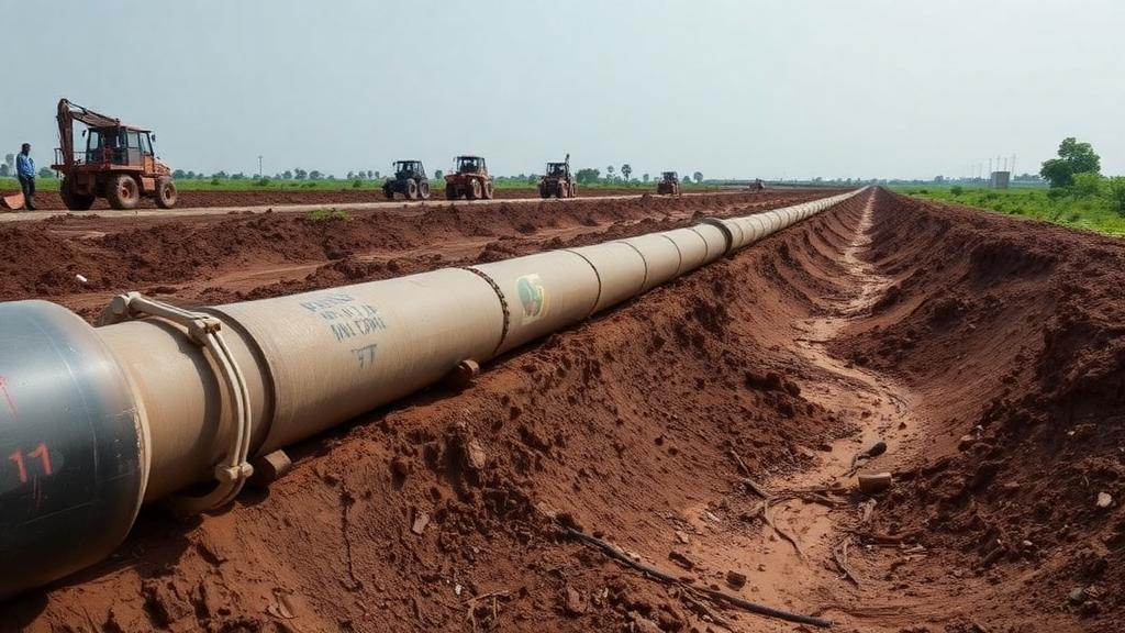
Beneath the dusty streets of Sabon Gida, a fast-growing settlement on the outskirts of Katsina in northwestern Nigeria, a quiet chemical war is being waged against metal. Fuel pipelines, water mains, storage tanks and communication cables buried in the region’s weathered basement soils face a constant threat from corrosion, the electrochemical process that slowly eats away at buried steel and can trigger leaks, service failures and environmental contamination. A new study published in Discover Geoscience has now put a long-standing hope to a rigorous statistical test: can free satellite imagery from the European Space Agency’s Sentinel-2 mission stand in for laborious ground-based geophysical surveys when assessing where corrosion risk is highest? The answer, delivered with unusual statistical candor, is a qualified no, but with an intriguing twist involving salt.
The research, conducted by Abdulhakim Ahmad and Aniefiok Francis Akpaneno of Federal University Dutsin-Ma, set out to bridge two worlds that rarely talk to each other in corrosion science. On one side sits the traditional approach: teams of geophysicists hauling resistivity meters across the landscape, driving current into the ground through electrode arrays and measuring how easily electricity flows through the soil. Low resistivity generally signals moist, salt-rich, electrically conductive soil, which is precisely the kind of environment in which buried metal corrodes fastest. On the other side sits the promise of remote sensing: satellites that sweep over the entire planet every few days, capturing spectral fingerprints of vegetation, moisture, exposed soil and salinity at no cost to the user. If those spectral fingerprints could be statistically tied to soil resistivity, corrosion risk maps covering vast territories could be drawn from a laptop.
To find out whether that promise holds, the team worked at forty-four Vertical Electrical Sounding stations scattered across Sabon Gida, a semi-arid site in the Sudan Savanna zone where annual rainfall of roughly 600 to 800 millimeters is concentrated between May and September, and temperatures routinely climb above 40 degrees Celsius. Using a Schlumberger electrode configuration with current electrode spacings reaching 30 meters, they measured the electrical resistivity of the uppermost two meters of soil, the depth interval where most buried infrastructure lives. The inversion of those measurements produced root mean square errors between 0.316 and 2.19 percent, indicating the resistivity models were trustworthy. At five representative locations spanning the full range of corrosivity classes, the researchers also collected twenty soil samples from four depth intervals down to two meters and measured their pH, which ranged from 6.3 to 7.1, indicating neutral to slightly acidic conditions.
The satellite side of the study relied on a single cloud-free Sentinel-2 Level-2A image acquired on 4 March 2026, during the dry season and just weeks after the field survey. Because Level-2A products are atmospherically corrected to bottom-of-atmosphere surface reflectance, they are suitable for quantitative work rather than mere visual interpretation. From this image the team computed four spectral indices, each built from ratios of reflectance in specific bands. The Normalized Difference Vegetation Index, or NDVI, exploits the fact that healthy vegetation strongly reflects near-infrared light while absorbing red light during photosynthesis. The Normalized Difference Water Index, in the McFeeters formulation, contrasts green and near-infrared reflectance to gauge surface moisture. The Bare Soil Index combines blue, red, near-infrared and shortwave-infrared bands to flag exposed ground. Finally, the Salinity Index, built from the shortwave-infrared and red bands, serves as a relative proxy for salt-affected surfaces. Spectral values were extracted at each of the 44 sounding stations using the point sampling tool in QGIS, creating a single integrated dataset of satellite and ground observations.
The descriptive statistics alone told an important story. Shallow-layer resistivity ranged from a low of 23.11 ohm-meters to a striking 1779 ohm-meters, with a mean of 387.40 and a coefficient of variation of 91.74 percent, the highest of any variable measured. Soil pH, by contrast, was remarkably uniform, varying only between 6.65 and 6.85 with a coefficient of variation of just 0.42 percent. The satellite indices were also comparatively stable: NDVI values were negative throughout, between minus 0.0975 and minus 0.0641, confirming the sparse, dry-season vegetation cover one expects in the Sudan Savanna, while the Salinity Index varied only from 0.4068 to 0.4511. In other words, the surface environment as seen from orbit was relatively homogeneous, while the subsurface electrical properties fluctuated wildly over short distances. That mismatch, the authors note, is itself a scientific finding: local geology matters more than what the camera in the sky can see.
Pearson correlation analysis made the mismatch quantitative. The strongest link between resistivity and any spectral index was with the Salinity Index, at a modest r of 0.287, followed by NDVI at 0.138 and the Bare Soil Index at 0.126, while the water index showed essentially no relationship at all, with r of minus 0.005. Meanwhile, the spectral indices correlated strongly with each other: NDVI and NDWI were negatively correlated at r of minus 0.645, NDWI and the Bare Soil Index positively at 0.711, and NDVI and the Bare Soil Index negatively at minus 0.517, all statistically significant. This pattern shows the satellite indices are internally coherent, reliably tracking real surface conditions, but those surface conditions simply do not map cleanly onto the electrical behavior of the soil two meters down, which is governed by lithology, clay content, pore-water chemistry, weathering and groundwater, none of which a multispectral imager can observe directly.
The multiple linear regression delivered the study’s headline numbers. With resistivity as the dependent variable and soil pH plus the four indices as predictors, the model explained only 19.7 percent of the variance in shallow resistivity, and, crucially, was not statistically significant overall, with an F statistic of 1.867 and a p-value of 0.123. The Salinity Index stood out as the only individual predictor to reach significance, with a coefficient of 19,500 and a p-value of 0.025, suggesting that salt-related surface conditions do exert a measurable influence on the electrical behavior of the shallow subsurface. Multicollinearity diagnostics using the Variance Inflation Factor showed acceptable values for most predictors, with only NDWI slightly elevated at 5.811, and residual checks found no substantial violations of the regression assumptions. The authors are careful to flag a puzzle, however: the positive relationship between the salinity index and resistivity runs opposite to the textbook expectation that more salt should mean more conductivity and lower resistivity, a contradiction they attribute to the confounding effects of soil texture, mineralogy, moisture and subsurface heterogeneity, and to the fact that the index is a spectral proxy rather than a direct salinity measurement.
Why does this matter beyond one Nigerian town? Because the result is a caution against a shortcut that is becoming increasingly tempting as free, high-resolution satellite data floods the environmental sciences. Corrosion of buried metallic infrastructure is one of the leading causes of failure in underground engineering systems worldwide, and in data-scarce regions the allure of mapping risk from orbit is obvious. Yet this study demonstrates with clear statistics that surface spectral conditions explain less than a fifth of the variation in the property that actually controls corrosion electrochemistry. The resistivity of a soil is the product of an intricate subsurface interplay between water, ions, clay minerals and pore geometry, and no optical satellite currently sees any of it. What the satellites do provide, the authors argue, is a valuable complementary layer: the Salinity Index maps, the vegetation patterns and the moisture indicators help characterize the environmental context in which corrosion proceeds, and can guide where expensive ground surveys should be concentrated.
The study is also refreshingly honest about its own limits. It rests on a single dry-season image, while vegetation, moisture and salinity in semi-arid environments swing dramatically between seasons; the 10-to-20-meter pixel size may smooth over local variability; conventional Pearson correlation and ordinary least squares regression ignore spatial autocorrelation; and no direct measurements of electrical conductivity, chloride, sulphate or corrosion rates were made. The authors propose a roadmap for successors: multi-temporal Sentinel-2 stacks, radar-derived soil moisture, land surface temperature, topographic indices, machine-learning models, geostatistical interpolation, Moran’s I statistics and geographically weighted regression, all anchored by laboratory measurements of the chemical parameters that drive corrosion directly.
For the engineers planning the next pipeline or water main through the Sahel’s expanding towns, the practical message is clear. Sentinel-2 is a superb scout, cheap and persistent, capable of flagging salt-affected zones and tracking the seasonal drying that concentrates soluble salts near the surface through evaporation. But when the question is how fast a steel pipe will corrode at a specific spot two meters underground, the electrodes still have to go into the ground. The most robust framework, this study concludes, is not satellite versus survey but satellite plus survey, an integration that turns limited field campaigns into smarter, better-targeted defenses for the hidden metallic arteries on which growing cities depend.
Subject of Research: Statistical evaluation of Sentinel-2 spectral indices as indicators of shallow soil resistivity for soil corrosion assessment in semi-arid Nigeria
Article Title: Statistical evaluation of sentinel-2 spectral indices as environmental indicators of shallow soil resistivity for soil corrosion assessment in a semi-arid region of northwestern Nigeria
Article References: Ahmad, A., & Akpaneno, A. F. (2026). Statistical evaluation of sentinel-2 spectral indices as environmental indicators of shallow soil resistivity for soil corrosion assessment in a semi-arid region of northwestern Nigeria. Discover Geoscience, 4(1), Article 359. https://doi.org/10.1007/s44288-026-00732-x
Image Credits: AI Generated
DOI: 10.1007/s44288-026-00732-x
Keywords: Sentinel-2, soil corrosion, soil resistivity, remote sensing, spectral indices, salinity index, NDVI, electrical resistivity survey, semi-arid environment, Nigeria, infrastructure, geophysics
Cite Scienmag News
Violet Maxwell. (October 3, 2026). Satellites alone cannot predict where buried pipelines will corrode, Nigerian field study shows. Scienmag. https://scienmag.com/satellites-alone-cannot-predict-where-buried-pipelines-will-corrode-nigerian-field-study-shows/
Violet Maxwell. "Satellites alone cannot predict where buried pipelines will corrode, Nigerian field study shows." Scienmag, 3 October 2026, https://scienmag.com/satellites-alone-cannot-predict-where-buried-pipelines-will-corrode-nigerian-field-study-shows/. Accessed 5 October 2026.
Violet Maxwell. "Satellites alone cannot predict where buried pipelines will corrode, Nigerian field study shows." Scienmag. October 3, 2026. https://scienmag.com/satellites-alone-cannot-predict-where-buried-pipelines-will-corrode-nigerian-field-study-shows/


