


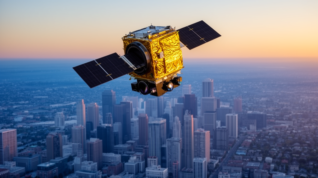
In one of the most systematic head-to-head comparisons of Earth-observation satellites ever attempted for city mapping, researchers have shown that the Italian Space Agency’s PRISMA hyperspectral sensor can distinguish the subtle density gradients of a sprawling metropolis far better than the workhorse multispectral satellites Landsat and Sentinel-2. The study, published in Frontiers in Remote Sensing, mapped eight land-cover classes across roughly 1,789 square kilometers of Lahore District, Pakistan, one of South Asia’s fastest-growing metropolitan regions, and found that richer spectral detail can transform how computers read the urban landscape.
The stakes are considerable. Cities are expanding at unprecedented pace as the global population climbs from about 8 billion toward a projected 10.4 billion by the end of the century, and planners increasingly rely on satellite-derived land-cover maps to track impervious surfaces, urban heat islands, vanishing green space, and flood-prone peri-urban fringes. Yet the sensors that supply this information see the world very differently, and the new research demonstrates that those differences ripple all the way through to the maps on which planning decisions rest.
The team, led by Sawaid Abbas of the University of the Punjab and The Hong Kong Polytechnic University, classified Landsat-8, Sentinel-2, and PRISMA imagery within a harmonized framework: identical reference samples, the same eight classes, and a common validation protocol. The classes spanned an urban intensity gradient from Dense and Medium to Sparse Urban Area, alongside Tree Cover, Grass, Cropland, Bare Area, and Water. Five machine-learning classifiers were tested on each sensor: Random Forest, Support Vector Machine, Gradient Boosting Machine, K-Nearest Neighbors, and Classification and Regression Trees, with performance judged by overall accuracy, Cohen’s kappa, and F1-scores.
The technical gap between the sensors is stark. Landsat-8 offered seven broad spectral bands at 30 meters; Sentinel-2 contributed ten bands, including red-edge wavelengths sensitive to vegetation, at 10 to 20 meters; PRISMA captured 239 narrow hyperspectral bands spanning 400 to 2500 nanometers at 30 meters, of which 187 remained after noisy water-vapor-affected bands were removed and a Savitzky-Golay filter cut median spectral roughness by nearly 96 percent. For PRISMA, principal component analysis compressed the 187 bands into 15 components retaining 99.9 percent of the training variance, taming the curse of dimensionality that plagues hyperspectral classification.
The results were dramatic. PRISMA paired with a tuned radial-basis-function Support Vector Machine achieved 91.26 percent overall accuracy and a macro-averaged F1-score of 89.72 percent, beating the best Landsat result by 5.21 percentage points and the best Sentinel-2 result by 8.12 points. The single largest gain came in the transitional Medium Urban class, whose F1-score leapt from roughly 47 percent on both multispectral sensors to 86.15 percent with PRISMA, an improvement of nearly 40 points in the very category that matters most for monitoring informal expansion and peri-urban sprawl.
Spectral separability analysis explained why. Medium and Sparse Urban surfaces are nearly indistinguishable in Landsat data, separated by a spectral angle of just 0.54 degrees, and only marginally better in Sentinel-2 at 1.58 degrees. PRISMA widened that angle to 4.11 degrees and boosted the standardized centroid distance to 6.13, providing hard quantitative evidence that dense spectral sampling resolves mixed pixels containing rooftops, bare soil, and vegetation that broad-band sensors blur together. Interestingly, the most informative PRISMA bands clustered in the near-infrared range between 809 and 830 nanometers.
Yet the study refuses to crown a universal winner. PRISMA’s classifications redistributed large areas from Sparse Urban into Bare Area and Cropland, which the authors interpret as plausibly better discrimination of mixed peri-urban surfaces, but they caution that this cannot be declared more accurate without an independent area-wide reference map. A six-month acquisition gap between the February and March multispectral scenes and the August PRISMA image introduces seasonal differences in vegetation and soil moisture, and PRISMA classifiers were extensively tuned while the multispectral runs used standard cloud-platform settings, both factors that could shape the apparent advantage.
The comparison also highlights complementary strengths. Landsat performed best for dense built-up surfaces, tree cover, grass, and bare soil, and remains irreplaceable for its five-decade archive of urban change. Sentinel-2, though it scored lowest here at 83.14 percent overall accuracy under Random Forest, delivered the finest spatial rendering of fragmented urban morphology, and its red-edge bands proved highly sensitive to vegetation variation, with grass estimates swinging from 164 to 280 square kilometers depending on the classifier.
Framed as a foundation for what the authors call urban digital intelligence, the study argues that resilient city planning needs all three sensing dimensions at once: Landsat’s temporal continuity, Sentinel-2’s spatial detail, and the spectral richness of hyperspectral missions such as PRISMA, EnMAP, ESA’s forthcoming CHIME, and NASA’s Surface Biology and Geology program. Better maps of transitional urban-density zones could sharpen heat-mitigation corridor design, green-infrastructure investment, and monitoring toward the UN’s sustainable development target for cities.
The authors acknowledge open questions, including the need for spatial block validation to rule out autocorrelation between training and validation samples, and the promise of deep-learning architectures that could fuse multi-sensor data more completely. But the core message stands: urban land-cover intelligence is inherently multidimensional, and as hyperspectral missions multiply, the era of relying on any single satellite to understand a city is drawing to a close.
Subject of Research: Cross-sensor comparison of multispectral and hyperspectral satellite imagery for urban land-cover classification
Article Title: Cross-sensor urban land-cover characterization using hyperspectral and multispectral satellite imagery
Article References: Abbas, S., Zohaib, Habib, N., Qamer, F. M., & Nazeer, M. (2026). Cross-sensor urban land-cover characterization using hyperspectral and multispectral satellite imagery. Frontiers in Remote Sensing, 7, Article 1908768. https://doi.org/10.3389/frsen.2026.1908768
Image Credits: AI Generated
DOI: 10.3389/frsen.2026.1908768
Keywords: remote sensing, hyperspectral imaging, PRISMA, Landsat-8, Sentinel-2, urban land cover, machine learning, land-cover classification, Support Vector Machine, urban planning, spectral separability, Random Forest
Cite Scienmag News
Teresa Odom. (October 16, 2026). Hyperspectral Satellite Outperforms Classics in Mapping Urban Density Gradients. Scienmag. https://scienmag.com/hyperspectral-satellite-outperforms-classics-in-mapping-urban-density-gradients/
Teresa Odom. "Hyperspectral Satellite Outperforms Classics in Mapping Urban Density Gradients." Scienmag, 16 October 2026, https://scienmag.com/hyperspectral-satellite-outperforms-classics-in-mapping-urban-density-gradients/. Accessed 16 October 2026.
Teresa Odom. "Hyperspectral Satellite Outperforms Classics in Mapping Urban Density Gradients." Scienmag. October 16, 2026. https://scienmag.com/hyperspectral-satellite-outperforms-classics-in-mapping-urban-density-gradients/


