

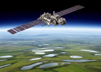
SWOT Satellite Tracks Small Lakes With Twice as Many Observations
A customized SWOT radar-data workflow tracked water-level changes in 37 Danish lakes with a median error of 5.57 centimetres and ...
A customized SWOT radar-data workflow tracked water-level changes in 37 Danish lakes with a median error of 5.57 centimetres and ...

A modified YOLOv8 detector improved conventional ship-detection accuracy in high-resolution SAR imagery, including on two external datasets, but reduced inference ...
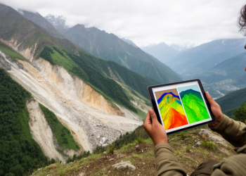
A GIS-based frequency-ratio model using 14 environmental and hydrometeorological factors achieved an AUC of 0.876 for landslide susceptibility in Pithoragarh, ...
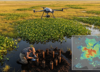
A systematic review found that 17 of 24 studies reporting geospatial predictors for invasive alien plants omitted direct soil variables, ...
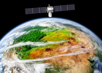
A global satellite analysis identified weakening resilience and vegetation reorganization in 27% of terrestrial ecoregions, but the findings are statistical ...

M. Emre Celebi will become editor-in-chief of the peer-reviewed Journal of Electronic Imaging on 1 January 2027.
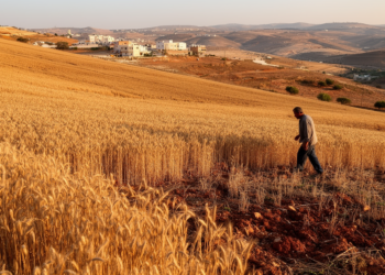
A national satellite study estimated that Lebanon’s wheat area ranged from 27,212 to 69,194 hectares across 2017–2025, with sharp contractions ...

A multiscale Landsat analysis found that Cooch Behar’s built-up area grew 180.36% from 1990 to 2022 while becoming more evenly ...
A French case study found that adding structural and biological condition data improved or preserved correlations between ecosystem service capacity ...

A deep-learning analysis of 85,868 satellite images produced a weekly, 1-km record of two floating macroalgae in China’s marginal seas ...


Embark on a thrilling journey of discovery with Scienmag.com—your ultimate source for cutting-edge breakthroughs. Immerse yourself in a world where curiosity knows no limits and tomorrow’s possibilities become today’s reality!