


Shanghai study links land cover with relative summer surface heat
A four-summer Landsat study of Shanghai found that built-up land consistently occupied the warmest relative thermal positions, while NDBI made ...
A four-summer Landsat study of Shanghai found that built-up land consistently occupied the warmest relative thermal positions, while NDBI made ...

Controlled-release tests established a median 50% detection limit of 99.0 ± 5.3 kg h−1 for GHGSat satellites under specified test ...

A satellite-based Oaxaca study measured shoreline retreat of up to 289 metres after Hurricane Erick and projected additional erosion in ...
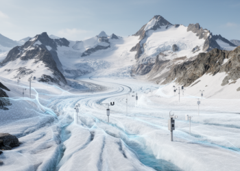
A hybrid physics–machine learning model reduced annual mass-balance errors by up to 37.4% on 13 geographically independent European glaciers.

Remote sensing identified 0.58 square kilometres of modelled habitat for the threatened gravel grasshopper in the upper Susa Valley, fragmented ...
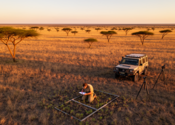
A review of seven studies found that African vegetation classifications remain uneven and international databases contain relatively few vegetation plots ...
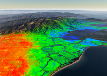
A regional remote-sensing study linked extreme summer surface heat to nonlinear productivity decline and separately estimated a source-like carbon balance ...

A review finds that European riparian wetland monitoring remains fragmented and proposes a framework combining long-term ecological observation, restoration evaluation ...
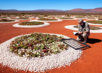
A new study of quartz habitat islands in South Africa's arid summer-rainfall region shows that species richness, functional diversity, and ...

A preliminary geospatial study mapped 67.24% of Kitgum District as very low to low groundwater potential and 85.5% of Pader ...


Embark on a thrilling journey of discovery with Scienmag.com—your ultimate source for cutting-edge breakthroughs. Immerse yourself in a world where curiosity knows no limits and tomorrow’s possibilities become today’s reality!