

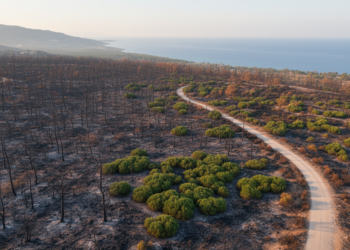
Object-based models map burned forests in Mediterranean transfer tests
Object-based machine-learning models mapped burned forests from Sentinel-2 imagery, retaining overall accuracies above 83% in transfer tests at selected Mediterranean ...
Object-based machine-learning models mapped burned forests from Sentinel-2 imagery, retaining overall accuracies above 83% in transfer tests at selected Mediterranean ...
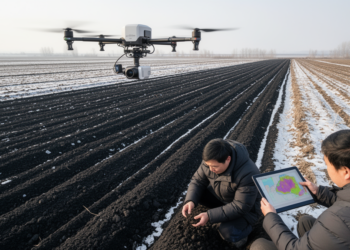
Laboratory hyperspectral data combined with environmental and satellite covariates improved machine-learning estimates of topsoil organic carbon across Northeast China’s croplands.
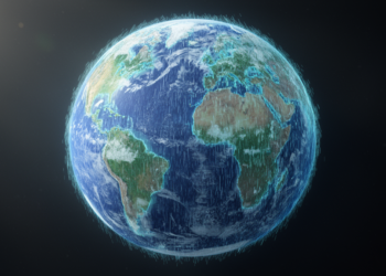
A Chiba University machine-learning model reconstructed missing regions in global satellite rainfall maps with higher accuracy and image quality than ...
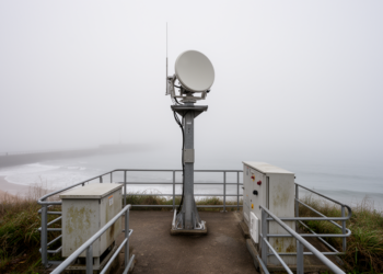
A physically constrained Ka-band radar method achieved a 0.092-kilometer mean absolute error in 10 locally conditioned coastal fog events, demonstrating ...
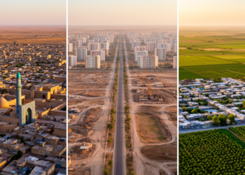
A multi-source study of 965 reclassified settlements in Uzbekistan found that administrative recognition grouped places already urban in 2005, sites ...
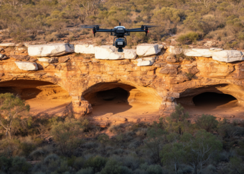
A drone-mounted LiDAR survey identified three previously unregistered Aboriginal rock shelters containing rock art and stone artefacts in Australia’s Blue ...
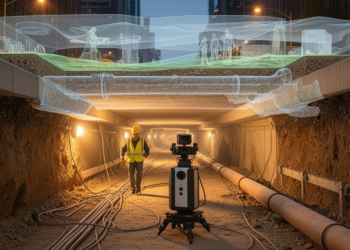
A 2026 Perspective proposes a volumetric monitoring framework to detect underground urban expansion, connect it to environmental and infrastructure evidence, ...

KAIST’s GeoCore-9B outperformed task-specific systems on key public-dataset measures for cloud removal and led some radar-to-optical conversion metrics.
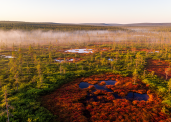
A 23-year satellite analysis of northern peatlands reveals widespread local greening but no significant map-scale increase in leaf area, with ...
Gross primary productivity, or GPP, is the amount of carbon captured by plants through photosynthesis before subtracting the carbon used ...


Embark on a thrilling journey of discovery with Scienmag.com—your ultimate source for cutting-edge breakthroughs. Immerse yourself in a world where curiosity knows no limits and tomorrow’s possibilities become today’s reality!