

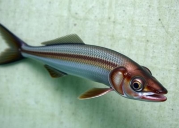
Survey detects Ayu larvae in two of three Vietnamese estuaries
A study published on 19 March 2025 examined Ayu fish nursery conditions in three Vietnamese estuaries using field sampling, satellite ...
A study published on 19 March 2025 examined Ayu fish nursery conditions in three Vietnamese estuaries using field sampling, satellite ...

A study of 533 Italian schoolchildren combining satellite imagery with psychometric scales found that children in highly natural residential areas ...
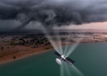
Researchers at the University of Dhaka used Sentinel-1 radar coherence change detection to map damage from five major cyclones in ...
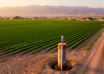
A new global monthly groundwater dataset at 1 km resolution for 2002-2020 combines GRACE satellite gravity, environmental predictors and machine ...
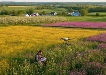
A new one-metre resolution land-cover dataset quantifies floral resources for pollinators across twelve Central New York counties, combining federal and ...
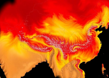
An 18-year, 74-station validation across China reveals where MODIS temperature profiles excel and where they falter, from the free troposphere ...

A Shenzhen study combining Landsat data with AI analysis of 11,109 online reviews reveals non-linear links between wetland park cooling ...
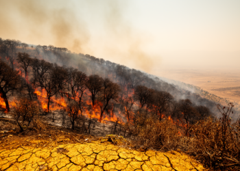
A 24-year satellite analysis reveals significantly increasing burned areas in the Kurdistan Region of Iraq, driven by rising temperatures and ...
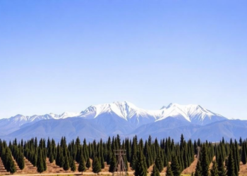
Researchers turned tourist photos on Instagram into 1,238 ground truthing points to validate a satellite-based map of the lenga beech ...

A study in Saleh Bay, Indonesia shows that grid size and cell-assignment method strongly affect the accuracy and computational cost ...


Embark on a thrilling journey of discovery with Scienmag.com—your ultimate source for cutting-edge breakthroughs. Immerse yourself in a world where curiosity knows no limits and tomorrow’s possibilities become today’s reality!