


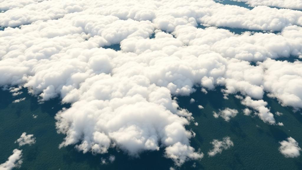
Artificial intelligence developed by the Korea Advanced Institute of Science and Technology can reconstruct ground scenes hidden by clouds and transform synthetic aperture radar images into views resembling ordinary photographs. The model, GeoCore-9B, was designed to generate, restore and convert satellite observations. In evaluations using publicly available satellite datasets, the researchers reported that it outperformed existing task-specific models on key measures of cloud-covered image restoration and achieved the best results on some metrics for radar-to-optical conversion.
The study presents a single generative foundation model as a potential way to broaden the use of optical and radar data for disaster assessment, environmental monitoring and urban analysis. Optical satellite imagery records sunlight reflected from Earth’s surface, so thick clouds can obscure the ground and nighttime conditions prevent clear imaging. Synthetic aperture radar, or SAR, uses transmitted radio waves and the signals returned from the surface, allowing it to acquire images at night and in cloudy weather.
SAR observations differ in brightness and pattern from ordinary photographs, making them difficult to interpret. GeoCore-9B was designed to process both types of satellite data through representations learned specifically from overhead Earth imagery. The reported results concern image restoration and conversion in public-dataset evaluations; they do not establish that the model can already forecast ground changes or operate as a comprehensive disaster-assessment system.
At the center of GeoCore-9B is a generative image model with about 9 billion adjustable internal parameters, the numerical values through which a neural network represents and generates patterns. Rather than adapting an image generator originally developed for ordinary photographs, the KAIST team trained the core component from scratch on Earth-observation data. Its training material included terrain, forests, ports and cities, allowing the model to learn the visual characteristics of different land surfaces and urban environments before it was adapted to satellite-image tasks.
The team classified the result as a foundation model because its pretrained core could serve as the basis for multiple downstream applications. The training dataset contained 10 million pairs of satellite images and sentences describing their contents. A port image could be paired with a statement that ships and warehouses were present, while a rural scene could be accompanied by a description of a road running between fields.
This image-and-text pairing gave the model visual and semantic information about the depicted places. Those learned features were used to train the generative component, allowing knowledge acquired from satellite-image generation to be transferred to the later restoration and conversion tasks. A distinctive feature of the approach is that GeoCore-9B learned not only what an image showed, but also where it was located and the spatial scale it covered.
The researchers supplied latitude, longitude and ground sample distance, or GSD, together with the descriptive sentences. Latitude and longitude identify a position on Earth, while GSD indicates the ground area represented by one image pixel. At a GSD of 1 meter, one pixel corresponds to an area of about 1 meter by 1 meter on the ground.
The geographic and scale conditioning was intended to help the model generate images consistent with a specified location and resolution. Scale matters because objects with similar shapes in satellite views can represent different features depending on the actual area shown. A shape interpreted as a small building in one image might correspond to a large industrial facility at another scale.
By learning with location and GSD information, the team sought to reduce this ambiguity and preserve meaningful relationships between image content, real-world position and spatial extent. The approach differs from a general-purpose image generator because the model was trained from scratch on overhead views rather than adapted from a system built to produce conventional photographs. To represent the organization of terrain and cities more accurately, the team introduced a training technique called Geospatial Semantic Alignment.
Under this method, the generative model refers to features extracted by another AI system specialized in satellite imagery. Those features provide a training reference for structures such as road connections and farmland boundaries. The specialized AI is used only during training, so it does not add computation when GeoCore-9B generates images.
In the researchers’ account, the method links the generative model’s learned image features with representations of spatial structure, while leaving the common core available for subsequent task-specific adaptation. After the broad pretraining stage, the researchers fine-tuned GeoCore-9B separately for cloud removal and radar-to-optical conversion. They used LoRA, or Low-Rank Adaptation, which keeps the core model fixed while training a small number of additional parameters.
This approach reduces the burden of retraining an entire large model from scratch for each task. The resulting system therefore combines a shared satellite-image foundation with relatively lightweight adaptations tailored to two observation problems: restoring optical images obscured by clouds and converting SAR data into optical-style images. In evaluations against existing task-specific models using publicly available satellite datasets, GeoCore-9B produced the strongest reported results for restoring cloud-covered images.
It scored higher on key metrics measuring brightness, color and structural similarity to reference images. In converting radar images into optical images, it also achieved the best results on some metrics assessing image quality and fine detail. The findings indicate that knowledge gained while generating satellite images can be applied to the restoration and conversion of observed images.
The release does not provide the metric names, numerical scores, uncertainty estimates or a complete comparison with every competing model, so the size of the reported differences cannot be independently assessed from the supplied information. The model is not yet a forecasting system for events on the ground, and the team plans to validate its performance across a wider range of sensors and regions. Future work will examine changes such as floods, building damage, wildfires and urban expansion, as well as possible defense applications including surveillance and reconnaissance.
For now, the demonstrated capabilities are satellite-image generation, cloud restoration and radar conversion. The proposed benefits for emergency response and environmental monitoring remain expected applications that will require broader testing, particularly across sensors and geographic regions. The study was led by first author Jeonghyeok Do of KAIST’s Information & Electronics Research Institute, with Professor Munchurl Kim of the School of Electrical Engineering as corresponding author.
High-performance computing resources were provided through the Advanced GPU Utilization Support Program of the Ministry of Science and ICT and the National IT Industry Promotion Agency. The findings were accepted for presentation at NeurIPS 2026, and the paper was posted on arXiv on August 3, 2026.
Subject of Research: A geo-aware generative foundation model for restoring cloud-obscured optical satellite images and converting radar observations into optical-style views.
Article Title: KAIST develops AI that reconstructs cloud-covered ground in satellite images with photo-like clarity
Article References: KAIST develops AI that reconstructs cloud-covered ground in satellite images with photo-like clarity. Original publication (Bibliographic details unavailable.)
Image Credits: AI Generated
DOI: Not provided
Keywords: GeoCore-9B, satellite imagery, cloud removal, synthetic aperture radar, Earth observation, generative AI, foundation models, geospatial AI, remote sensing, disaster monitoring, KAIST, develops
Cite Scienmag News
Denise Maddox. (October 20, 2026). Research report: KAIST develops AI that reconstructs cloud-covered ground in satellite images with photo-like clarity. Scienmag. https://scienmag.com/research-report-kaist-develops-ai-that-reconstructs-cloud-covered-ground-in-satellite-images-with-photo-like-clarity/
Denise Maddox. "Research report: KAIST develops AI that reconstructs cloud-covered ground in satellite images with photo-like clarity." Scienmag, 20 October 2026, https://scienmag.com/research-report-kaist-develops-ai-that-reconstructs-cloud-covered-ground-in-satellite-images-with-photo-like-clarity/. Accessed 20 October 2026.
Denise Maddox. "Research report: KAIST develops AI that reconstructs cloud-covered ground in satellite images with photo-like clarity." Scienmag. October 20, 2026. https://scienmag.com/research-report-kaist-develops-ai-that-reconstructs-cloud-covered-ground-in-satellite-images-with-photo-like-clarity/


