


New AI Model Spots Ships Hiding in Radar Images Despite Noise and Clutter
Researchers report that their enhanced YOLOv8n model, MFF-YOLO, improves SAR ship detection accuracy on two benchmark datasets by combining multi-scale ...
Researchers report that their enhanced YOLOv8n model, MFF-YOLO, improves SAR ship detection accuracy on two benchmark datasets by combining multi-scale ...
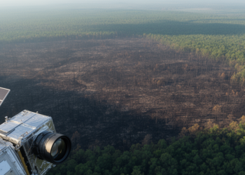
A study of 9,129 North American wildfires finds that radar delivers the fastest post-fire satellite imagery while multispectral sensors map ...
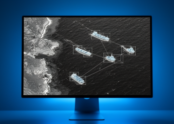
A modified YOLOv8 detector improved conventional ship-detection accuracy in high-resolution SAR imagery, including on two external datasets, but reduced inference ...
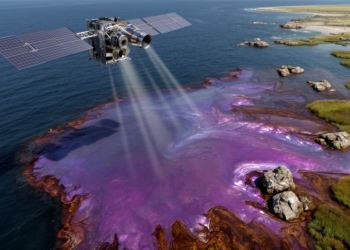
A three-stage CNN and transformer pipeline identified satellite image types and detected oil with high reported accuracy, while a lightweight ...

KAIST’s GeoCore-9B outperformed task-specific systems on key public-dataset measures for cloud removal and led some radar-to-optical conversion metrics.
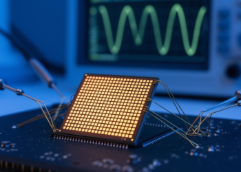
Researchers have experimentally demonstrated analogue fast Fourier transforms on charge-trapping memory arrays, computing transforms of up to 65,536 points across ...
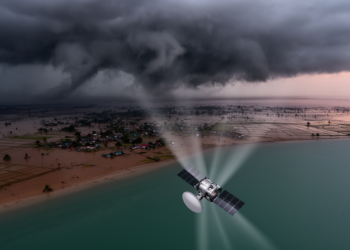
Researchers at the University of Dhaka used Sentinel-1 radar coherence change detection to map damage from five major cyclones in ...
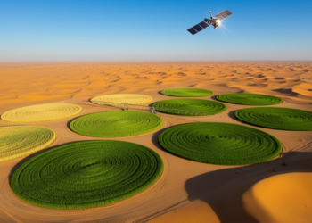
Researchers showed that simple curve-based rules applied to freely available Sentinel-2 and Sentinel-1 satellite data can accurately retrieve five key ...
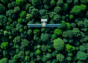
By fusing L-band radar from ALOS-2 with Sentinel-2 optical data and a weighted machine learning ensemble, researchers have mapped above-ground ...

A three-year, one-kilometer-resolution weather simulation of the North Sea's largest offshore wind farm cluster, validated with four lidars and Sentinel-1 ...


Embark on a thrilling journey of discovery with Scienmag.com—your ultimate source for cutting-edge breakthroughs. Immerse yourself in a world where curiosity knows no limits and tomorrow’s possibilities become today’s reality!