

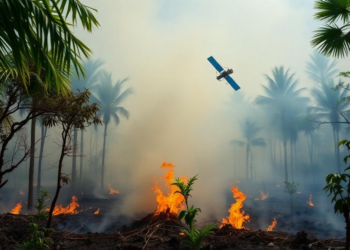
Satellites Struggle to See the Slow Fires Smouldering Beneath Tropical Peat
A systematic review of 23 studies finds that optical satellites can reliably detect flaming tropical peatland fires but struggle to ...
A systematic review of 23 studies finds that optical satellites can reliably detect flaming tropical peatland fires but struggle to ...

Nine years of Sentinel-2 monitoring across 85 landslide scars in southern Brazil show that recovery follows a nonlinear trajectory shaped ...

A global classification of more than 216,000 glaciers shows that the small share ending in lakes, the ocean or on ...

Researchers in northeastern Brazil combined a CNN–LSTM deep-learning architecture with decades of Landsat imagery to forecast MNDWI-derived coastal states in ...

A 22-year multiscale analysis of Lucknow finds that while vegetation cover cools the city broadly, the warming association of fragmented ...

A two-decade Landsat study of Southwestern Nigeria found the CA-Markov model outperformed CA-ANN in simulating land-cover change, as built-up land ...
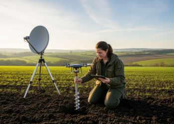
A bibliometric analysis of 1,561 articles from 2005 to 2025 shows that soil organic carbon prediction research has grown at ...

A 20-year satellite analysis of Cuttack City in eastern India found that built-up area grew by more than half while ...

An observational study of 5,099 springs in Nepal’s Kavrepalanchok District found statistical associations between spring persistence, terrain, canopy cover and ...
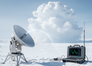
A hybrid Bayesian retrieval method reduced brightness-temperature mismatches and modestly improved ice-cloud properties derived from simulated and airborne submillimeter-wave radiometer ...


Embark on a thrilling journey of discovery with Scienmag.com—your ultimate source for cutting-edge breakthroughs. Immerse yourself in a world where curiosity knows no limits and tomorrow’s possibilities become today’s reality!