

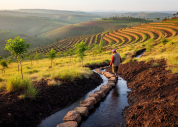
Integrated watershed management linked to lower soil erosion in Ethiopia
A model-based study links integrated watershed management with 43.5% lower estimated soil loss and 39.6% less sediment yield in Ethiopia’s ...
A model-based study links integrated watershed management with 43.5% lower estimated soil loss and 39.6% less sediment yield in Ethiopia’s ...
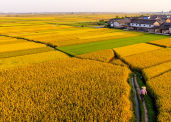
Researchers built a 30-meter-resolution maize production map of China for 2019 and 2020 by downscaling official provincial statistics with satellite-derived ...

A new deep-learning framework fusing sub-meter GaoFen imagery, tree crown segmentation and canopy height data has produced a 30 m ...
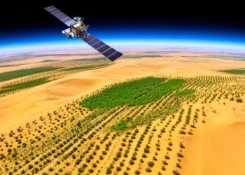
A 24-year satellite analysis shows that more than 80 percent of China's Kubuqi Desert has experienced highly significant vegetation greening, ...

An analysis of more than 3,000 cities worldwide shows that built mass grows sublinearly with population, meaning larger cities and ...
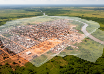
A Random Forest and satellite-imaging study found that built-up land in Gambella, Ethiopia, rose from 93 hectares in 2005 to ...
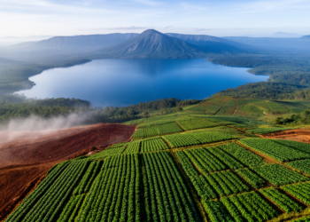
An ANN-cellular automata model calibrated on Landsat-derived land-cover maps projects that cultivated land could cover 94.75 percent of the mapped ...
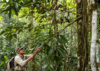
A comparative study in Peru linked six canopy types to the traits and potential vulnerabilities of 1,331 forest-dependent bird species.
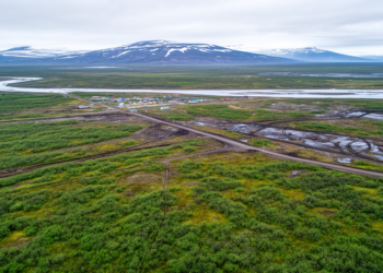
A 30-meter Landsat analysis of 2,221 Arctic human footprint areas shows that industrial disturbance drives browning that offsets climate-driven greening ...

A conditional generative adversarial network tuned by an Adaptive Jaya Algorithm generated synthetic forest images that, combined with EfficientNet-B0 feature ...


Embark on a thrilling journey of discovery with Scienmag.com—your ultimate source for cutting-edge breakthroughs. Immerse yourself in a world where curiosity knows no limits and tomorrow’s possibilities become today’s reality!