


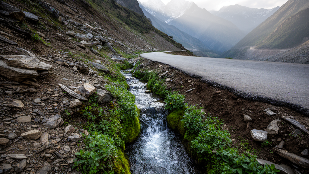
A landscape-scale observational study of 5,099 springs in Nepal’s Kavrepalanchok District found that elevation, slope, road proximity and tree canopy cover were statistically associated with whether a spring remained active. Active springs were more likely at higher elevations, on gentler slopes, farther from roads and in areas with greater canopy cover, while springs near roads were more frequently classified as dried. Building density was not statistically significant. The findings identify terrain and road proximity as important correlates for conservation planning, although the model’s limited predictive accuracy and the absence of detailed hydrogeological data mean that no single factor can explain the condition of an individual spring.
The researchers combined a community-based spring inventory with remote sensing, geographic information system analysis and logistic regression across seven municipalities in the district, approximately 40 kilometres east of Kathmandu. Community resource persons used a mobile survey application to geolocate discharge points and record contextual observations such as slope position and surrounding vegetation. Of the 5,099 inventoried springs, 3,844 were classified as active and 1,255 as dried, based on observed discharge and community reports of seasonal behaviour. The research identifies spatial associations across a populated landscape; it is not a controlled test of environmental interventions and does not establish that any measured factor directly caused a spring to dry.
Kavrepalanchok spans a varied mid-hill environment, with inventoried springs ranging from 579 to 2,753 metres above mean sea level. The district extends from 528 to 2,920 metres and contains gentle and steep slopes, narrow ridges, deeply incised valleys and structurally controlled geology. Most inventoried springs clustered between roughly 1,400 and 1,600 metres, with a mean elevation of 1,394 metres and a median of 1,456 metres. Median discharge was 1 litre per second, and most springs produced less than 2 litres per second across the elevation gradient. Moderate discharges of approximately 5–10 litres per second occurred more often between about 900 and 1,700 metres, while discharges above 20 litres per second were rare. The scatterplot did not reveal a clear overall relationship between elevation and discharge, indicating that elevation alone could not account for the observed variation in spring flow.
The elevation and slope distributions of active and dried springs overlapped substantially. Active springs were concentrated mainly between 1,209 and 1,614 metres, whereas dried springs were more concentrated between 1,107 and 1,531 metres. Both groups had a median slope near 20 degrees, although dried springs included locations on slopes steeper than 60 degrees. The logistic analysis nevertheless identified elevation and slope as highly significant predictors, with p-values below 0.001. Springs were more likely to be present at higher elevations and on gentler slopes. The corresponding odds ratios were 1.0010 for elevation and 0.9822 for slope, indicating modest changes in the odds for each unit increase even though the variables were statistically distinguishable from no association.
Vegetation supplied a smaller but measurable signal. Landsat-based tree canopy cover data showed that active springs generally occupied denser forest zones than dried springs. Median canopy cover around active springs increased from 29 per cent in 2000 to 48 per cent in 2022, while the median around dried springs rose from 14 to 33 per cent. Canopy cover therefore improved around both groups during the 22-year interval, yet the inventory contained many dried springs. Canopy cover remained associated with spring presence in the model, with an odds ratio of 1.0026 and a p-value of 0.036, but the results do not show that vegetation recovery alone is sufficient to maintain spring discharge. Tree canopy height was excluded from the final model because its collinearity with canopy cover produced a variance inflation factor of 8.41, above the study’s exclusion threshold of 5.
Distance from roads had the clearest anthropogenic association in the statistical model. Springs located farther from roads were more likely to be active, with an odds ratio of 1.0019 and p less than 0.001, whereas dried springs were generally closer to road alignments. The study notes that excavation for cut slopes, trenching and altered drainage lines can disturb shallow subsurface flow and redirect water away from discharge zones, while compacted road surfaces can increase runoff. These mechanisms are consistent with the observed spatial pattern, but the observational design cannot isolate roads from correlated landscape conditions. Building density, by contrast, did not clearly distinguish active from dried springs. Its model p-value was 0.088 and its coefficient was not statistically significant at the study’s 0.05 threshold, indicating that dense construction alone was not a dependable predictor in this dataset.
Geology added a major complication that the final statistical model did not fully capture. Field attribution linked 36.7 per cent of total springs dried because of geogenic factors associated with the magnitude 7.4 earthquake of 2015, and the study reports that 94 per cent of dried springs were affected by earthquake-related drying. These springs did not consistently lie directly on mapped regional faults and thrust zones. Instead, many followed local fracture networks and lithological boundaries, including trends near the Ranimatta and Galyang formations, the Shiprin Khola and Galyang formations, and the Chandragiri and Sopyang formations. Because the relevant local fractures were not mapped in sufficient detail, the researchers could not directly establish an effect through the regional lineaments. Their interpretation was that seismic activity may have opened, closed or redirected fractures and joints that conveyed water to springs.
The logistic regression used elevation, slope, tree canopy cover, distance to roads and building density to estimate the probability that a mapped location could support a spring. It produced a suitability map divided into high, moderate and low zones. High-suitability land was the least extensive, covering 6,651.63 hectares and concentrated mainly in the western and southwestern district. Moderate-suitability land covered 59,363.91 hectares across large contiguous parts of the central and northern area, while low-suitability zones occupied 8,347.5 hectares, mainly in the east and central north. These categories represent modelled spatial potential rather than confirmed recharge zones or guarantees of future spring availability. The model’s reported area under the curve was approximately 0.62—given as 0.63 in one results summary and 0.6174 in the diagnostic discussion—while overall accuracy was reported as 75.33 per cent. This reflects only moderate discrimination and limits the precision with which individual locations can be classified.
Several limitations constrain the broader interpretation. Medium-resolution geospatial layers were paired with springs whose hydrological occurrence is often highly localised, introducing spatial uncertainty. Detailed soil properties, aquifer characteristics, fracture density, mapped fault systems and other hydrogeological controls were unavailable in the form required for the model. The spring classification also combined direct discharge observations with community reports of seasonal behaviour, and the inventory covered one district rather than all of Nepal’s mid-hills. The analysis therefore offers a broad screening tool rather than a definitive diagnosis of spring loss. Its value lies in demonstrating how community observations, satellite data and statistical mapping can be combined at a scale that individual site surveys cannot easily match, while identifying areas where more detailed hydrogeological investigation may be needed.
For Nepal’s mid-hills, where spring water supports drinking supplies, livestock, small-scale irrigation and downstream flows, the results point to several priorities for further investigation and planning. Monitoring should examine springs alongside their recharge areas rather than treating discharge points as isolated features. Transport and infrastructure assessments may need to consider cut slopes, trenches, drainage changes and potential effects on shallow aquifers, while landscape monitoring should track whether canopy recovery translates into sustained discharge. The study does not demonstrate that a particular intervention will restore a spring, and it does not support a universal rule based on building density. Instead, it shows that elevation, slope, vegetation and road proximity jointly provide a useful first approximation of spring persistence, with detailed geological and groundwater measurements needed to refine the map and identify the processes affecting individual springs.
Subject of Research: Landscape-scale analysis of biophysical and anthropogenic correlates of spring persistence in Nepal’s Kavrepalanchok District
Article Title: Biophysical and anthropogenic drivers of spring dynamics in Nepal’s mid-hills: Insights from Kavrepalanchok district
Article References: Maharjan, S., Uddin, K., Barola, Y. C., Bhuchar, S., & Dhakal, M. (2026). Biophysical and anthropogenic drivers of spring dynamics in Nepal’s mid-hills: Insights from Kavrepalanchok district. Environmental Challenges, 25, Article 101683. https://doi.org/10.1016/j.envc.2026.101683
Image Credits: AI Generated
DOI: 10.1016/j.envc.2026.101683
Keywords: mountain springs, Nepal, Kavrepalanchok, spring drying, groundwater recharge, road proximity, tree canopy cover, logistic regression, remote sensing, earthquake hydrogeology, Biophysical, anthropogenic
Cite Scienmag News
Sloane Callahan. (October 22, 2026). Terrain and road proximity statistically associated with spring persistence in Nepal. Scienmag. https://scienmag.com/terrain-and-road-proximity-statistically-associated-with-spring-persistence-in-nepal/
Sloane Callahan. "Terrain and road proximity statistically associated with spring persistence in Nepal." Scienmag, 22 October 2026, https://scienmag.com/terrain-and-road-proximity-statistically-associated-with-spring-persistence-in-nepal/. Accessed 22 October 2026.
Sloane Callahan. "Terrain and road proximity statistically associated with spring persistence in Nepal." Scienmag. October 22, 2026. https://scienmag.com/terrain-and-road-proximity-statistically-associated-with-spring-persistence-in-nepal/


