


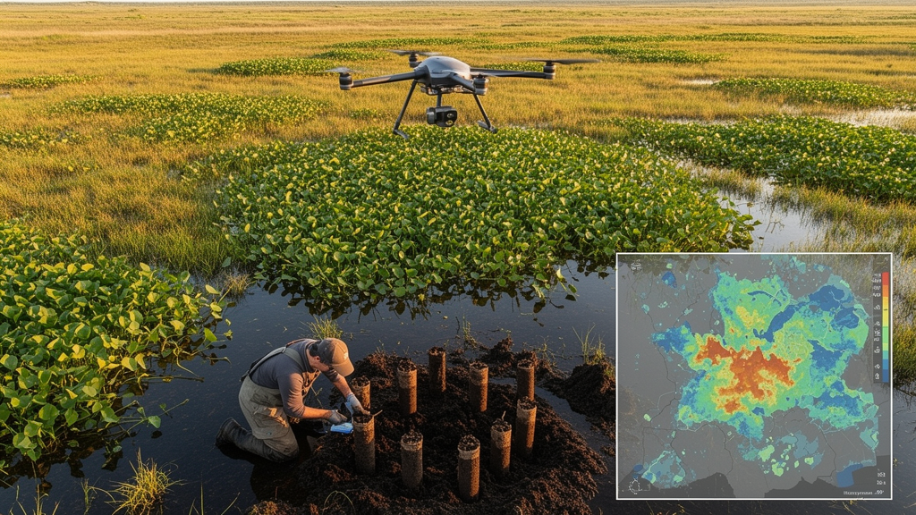
A systematic review of geospatial studies of invasive alien plants found that most models characterize vegetation from above while leaving soil conditions out of the analysis. Among 24 studies that clearly reported their environmental predictors, 17, or 71%, excluded direct soil variables, while only seven, or 29%, incorporated measured properties such as pH, texture or soil classification. The review suggests that this imbalance may limit the ecological realism of invasion models in heterogeneous landscapes, although the small number of direct comparisons does not establish that adding soil consistently improves prediction.
The review followed the Preferred Reporting Items for Systematic Reviews and Meta-Analyses framework and searched Web of Science, Science Direct, Google Scholar and Scopus for literature published from 2015 through 2026. The researchers identified 118 records, removed 20 duplicates and screened 98 titles and abstracts. Eighteen were excluded at that stage, six full-text articles could not be accessed, and eight of the 75 assessed articles did not meet the eligibility criteria.
The final review contained 67 studies. Only studies that clearly documented their predictor variables were eligible for the quantitative soil analysis, making the 71% and 29% results specific to a 24-study subset rather than the full review. Eligible work addressed invasive alien plants, used geospatial monitoring or modelling, and examined at least one environmental driver; studies outside Sub-Saharan Africa were eligible, but African research was prioritized.
Remote sensing and geographic information systems now allow invasive plants to be monitored across large areas without relying exclusively on repeated field surveys. Medium-resolution satellite imagery, including Sentinel-2 at 10 metres and Landsat at 30 metres, provides repeatable coverage of vegetation, land use and land-cover change. These data can support regional assessments of plant cover, invasion fronts and habitat conditions, and they can be combined with statistical or machine-learning methods to estimate where particular species may occur.
Commercial very-high-resolution imagery, generally around 0.3 to 2 metres per pixel, can resolve individual tree crowns, small patches and structural or textural differences that may help distinguish invasive from native vegetation. Its cost, however, generally limits it to targeted applications rather than routine regional monitoring. Different sensors and analytical methods have different strengths and limitations.
Spectral indices such as the Normalized Difference Vegetation Index, Enhanced Vegetation Index and Normalized Difference Water Index can track vegetation condition, moisture and seasonal change, while thermal and structural variables characterize surface and canopy properties. One South African study reviewed in the article combined Sentinel-2 data with a radiative-transfer model to map invasive Acacia species, reporting canopy chlorophyll content and leaf area index estimates with classification accuracies of 92.8% and 91.4%. At finer scales, object-based image analysis groups neighbouring pixels into meaningful objects before classifiers such as random forests, support vector machines or XGBoost are applied.
A reviewed study of Japanese knotweed and giant hogweed reported accuracies of up to 91%. These results describe specific datasets and landscapes, however, and do not guarantee the same performance for every species, sensor or geographic setting. Beyond detecting vegetation directly, Earth-observation products are used as predictors in species-distribution models, habitat-suitability assessments, invasion-risk analyses and future-scenario forecasts.
A study of invasive tamarisk along the Arkansas River combined Landsat-derived phenological variables with boosted regression trees, random forest, Maxent, generalized linear models and multivariate adaptive regression splines. An ensemble of the five methods mapped tamarisk and reduced uncertainty relative to any single algorithm. Repeated observations can also reveal disturbance, rainfall-linked vegetation anomalies and recovery after clearing, while climate projections can be combined with present habitat layers to estimate future suitability.
The review cites a projection that suitable habitat for Prosopis juliflora in eastern Ethiopia could increase by more than 70% by 2070 under moderate and high greenhouse-gas emissions scenarios. That figure is a modelled forecast, not an observed expansion. Rainfall and temperature influence plant growth, reproduction, drought stress, soil moisture and nutrient availability.
Agricultural expansion, urban development, grazing, deforestation and infrastructure can fragment native vegetation, expose soil and produce disturbed mosaics in which species adapted to edge conditions and rapid colonisation may gain an advantage. The review cites regional evidence that cropland expanded by approximately 35% in East Africa, largely replacing grasslands and woodlands, but the ecological consequences of that change vary among landscapes. It also describes a satellite-derived analysis in which short-term rainfall variability was associated with annual changes in vegetation cover, particularly in ecosystems sensitive to water availability.
Such associations help characterize landscape conditions but do not by themselves establish a causal pathway to invasion. Soil adds a less visible layer to these interactions. Sandy, nutrient-poor soils may intensify drought stress on native species, whereas clay-rich soils can buffer moisture variability while creating different competitive conditions.
Soil degradation may also favour invaders when native plants are constrained more strongly, although these relationships are context dependent. In a study outside Africa cited by the review, climate explained about 58.5% of variation in plant distributions in the European Alps, compared with roughly 20% for soil and 21.4% for land cover. In a broad-scale assessment of soil organic carbon across Sub-Saharan Africa, land cover and texture were not always significant predictors, while geochemical properties and climate signals were more prominent.
These comparisons indicate that the relative importance of environmental predictors changes with scale and ecological context. The seven studies that included direct soil variables were heterogeneous, which limits conclusions about their effect on model performance. They drew soil information from field measurements, existing soil surveys or digital soil maps, and they were concentrated in Europe, North America, Asia and global-scale assessments.
Only one of the seven was conducted in South Africa. Just four directly compared climate-only models with models that also included soil, and those comparisons produced mixed results: in a South African Lowveld study, soil variables ranked among the least important predictors. One of the seven was a soil-characterisation analysis rather than a species-distribution model, and another was a methods review of digital soil mapping.
The evidence therefore shows that direct tests of soil’s contribution are fewer than the 29% figure initially suggests and are geographically uneven. The review does not demonstrate that soil inclusion produces a consistent gain in predictive performance. Remote sensing ordinarily does not measure below-ground properties directly, so soil information must be assembled separately through field sampling, soil surveys or digital soil maps and then harmonised with imagery in GIS.
That additional workflow may help explain why soil variables are often absent. Other constraints include coarse spatial resolution, incomplete coverage and uncertain measurements, especially in data-scarce regions. Sparse or uneven field observations also limit the training and validation of machine-learning classifiers and species-distribution models, potentially contributing to false positives, false negatives and weak transferability across landscapes.
Persistent cloud cover can further restrict optical monitoring, while synthetic-aperture radar can observe through cloud but requires specialized processing expertise and computing capacity. These limitations make it difficult to determine whether the scarcity of soil-integrated models reflects a lack of ecological importance, technical difficulty, limited data availability or a combination of these factors. The authors recommend testing frameworks that combine soil, climate, land use and land-cover dynamics rather than replacing spectral, thermal and canopy indicators with soil data alone.
They also call for systematic field sampling in both invaded and uninvaded areas, high-quality vegetation occurrence records, and fine-scale studies in South Africa and other understudied regions. Such work could establish whether added soil information improves local and regional risk maps, identify the soil conditions associated with particular invasive species and clarify how environmental change alters establishment and spread. Whether integrated modelling produces more reliable management maps remains unresolved under the reviewed evidence.
Direct, geographically diverse comparisons are needed before integrated approaches can be assumed to outperform models based solely on above-ground indicators, particularly in heterogeneous savanna and grassland landscapes where climate stress, disturbance and soil conditions can interact.
Subject of Research: A systematic review of soil-variable integration in geospatial models of invasive alien plant distributions
Article Title: Geospatial approaches to mapping invasive alien plants: the neglected role of soil in remote sensing and GIS-based distribution models
Article References: Koloko, M., Maphanga, T., Madonsela, S. B., & Malakane, K. (2026). Geospatial approaches to mapping invasive alien plants: the neglected role of soil in remote sensing and GIS-based distribution models. Frontiers in Remote Sensing, 7, Article 1980112. https://doi.org/10.3389/frsen.2026.1980112
Image Credits: AI Generated
DOI: 10.3389/frsen.2026.1980112
Keywords: invasive alien plants, soil variables, remote sensing, GIS modelling, species distribution models, habitat suitability, land-use change, machine learning, Sub-Saharan Africa, systematic review, Geospatial, approaches
Cite Scienmag News
Patricia Pace. (October 22, 2026). Research report: Geospatial approaches to mapping invasive alien plants: the neglected role of soil in remote sensing and GIS-based distribution models. Scienmag. https://scienmag.com/research-report-geospatial-approaches-to-mapping-invasive-alien-plants-the-neglected-role-of-soil-in-remote-sensing-and-gis-based-distribution-models/
Patricia Pace. "Research report: Geospatial approaches to mapping invasive alien plants: the neglected role of soil in remote sensing and GIS-based distribution models." Scienmag, 22 October 2026, https://scienmag.com/research-report-geospatial-approaches-to-mapping-invasive-alien-plants-the-neglected-role-of-soil-in-remote-sensing-and-gis-based-distribution-models/. Accessed 22 October 2026.
Patricia Pace. "Research report: Geospatial approaches to mapping invasive alien plants: the neglected role of soil in remote sensing and GIS-based distribution models." Scienmag. October 22, 2026. https://scienmag.com/research-report-geospatial-approaches-to-mapping-invasive-alien-plants-the-neglected-role-of-soil-in-remote-sensing-and-gis-based-distribution-models/


