


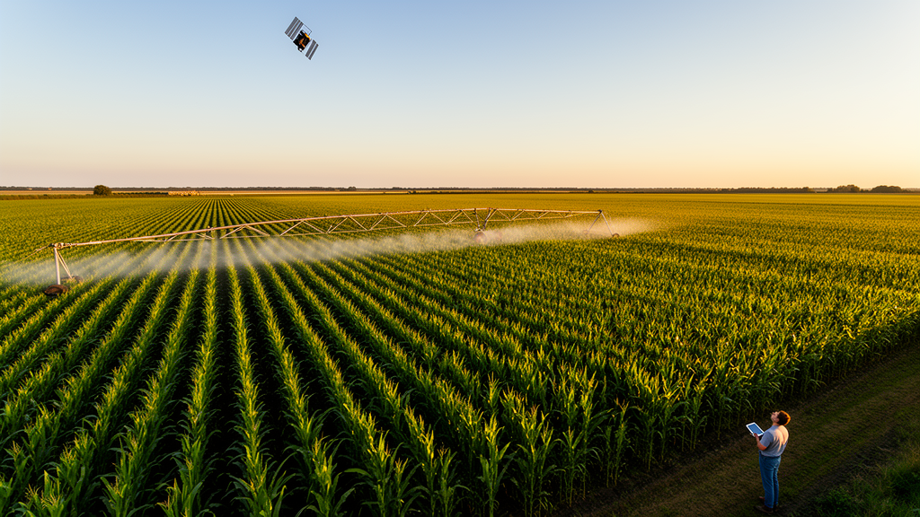
Silage maize has quietly become one of the most important crops in northern China. Covering roughly 2.81 million hectares in 2022, about 6.5 percent of the country’s total maize area, it forms the feed backbone of the nation’s herbivorous livestock industry. Yet the arid lands along the Yellow River where much of it grows face a stubborn paradox: farmers irrigate and fertilize heavily to secure yields, while water and nitrogen use efficiencies remain stubbornly low. A new study published in Artificial Intelligence in Agriculture offers a way out, presenting a framework called CropINSs that couples satellite remote sensing, a process-based crop model, and a multi-objective evolutionary algorithm to compute optimal irrigation and nitrogen schedules for entire regions rather than single fields.
The research team, led by Ge Li and Weibo Nie of Xi’an University of Technology, focused on the forage belt of the Yellow River Basin within the Inner Mongolia Autonomous Region. The area stretches from 106°36′E to 112°04′E, spans elevations of 800 to 2400 meters, and receives a meager 120 to 420 millimeters of annual rainfall against potential evapotranspiration exceeding 2000 millimeters. Agriculture there consumes roughly 4.5 billion cubic meters of irrigation water each year, mostly through traditional surface irrigation that frequently drives water and dissolved nitrogen deep beyond the root zone. Excess nitrogen application, meanwhile, has contributed to eutrophication of surface waters and nitrate contamination of groundwater. The stakes for smarter scheduling could hardly be higher.
At the heart of the framework lies a classic problem in crop modeling: parameters calibrated at a few experimental sites rarely transfer well to a heterogeneous landscape. The researchers tackled this by assimilating remotely sensed observations into the DSSAT-CERES-Maize model. They chose two state variables with complementary physiological meaning. Leaf area index, or LAI, tracks canopy expansion and light interception, while aboveground biomass, AGB, reflects the cumulative outcome of photosynthesis and dry matter partitioning. Because different cultivar parameters govern these distinct processes, constraining both simultaneously reduces parameter equifinality, the situation in which multiple parameter combinations produce similar model outputs and leave calibration ambiguous.
Getting reliable LAI and AGB estimates across a fragmented agricultural landscape posed its own challenge. Optical sensors such as Sentinel-2 suffer from cloud contamination and saturate when LAI exceeds about 3, so the team turned to Sentinel-1 synthetic aperture radar, whose C-band microwave backscatter penetrates cloud cover and offers a six-day revisit cycle at roughly 10-meter resolution. Using a random forest algorithm trained on field measurements from 2024 and 2025, they first mapped silage maize planting areas with an overall accuracy of 90.34 percent and a Kappa coefficient of 0.803, then estimated LAI with a testing-set coefficient of determination of 0.923 and AGB with 0.691. A bootstrap ensemble of thirty random forest models quantified retrieval uncertainty, which proved modest for LAI, at a coefficient of variation of 5.2 percent, but larger for AGB, at 18.2 percent, reflecting the more complex nonlinear relationship between radar signals and biomass.
The assimilation engine was the Shuffled Complex Evolution algorithm, SCE-UA, a population-based global optimizer that iteratively improves the worst-performing members of a parameter population. Six cultivar parameters, P1, P2, P5, G2, G3, and PHINT, which together control phenology, kernel number, kernel filling rate, and leaf appearance intervals, were optimized against the satellite-derived observations. Because a single parameter set cannot represent an entire basin, the researchers partitioned the study area into three sub-regions using k-means clustering on 51 years of growing-season precipitation records from 32 meteorological stations, with the average silhouette coefficient confirming that three clusters best balanced internal compactness against separation. Three assimilation schemes were tested: LAI only, AGB only, and the joint assimilation of both variables.
The results were decisive. When field-calibrated parameters were applied directly across the region, the model’s agreement with 90 independent validation sites was mediocre, with R² values of 0.53 for LAI and 0.672 for AGB. Joint LAI-AGB assimilation lifted those figures to 0.883 and 0.872, cutting the mean absolute error for LAI from 0.81 to 0.34 and for AGB from 2443 to 1322 kilograms per hectare. Statistical tests confirmed the improvement was significant rather than an artifact of the metrics, with p-values below 0.05 against both single-variable schemes. Monte Carlo perturbation of the satellite observations showed that the optimized parameters remained stable, with coefficients of variation mostly below 20 percent, and the ensemble mean parameter sets were adopted for regional simulation.
With a trustworthy regional model in hand, the team turned to scheduling. They classified typical rainfall years using empirical frequency analysis of 1975–2025 precipitation, designating years at the 25th, 50th, and 75th percentiles as wet, normal, and dry. The NSGA-III multi-objective genetic algorithm then searched for irrigation and nitrogen schedules that simultaneously maximized yield, water use efficiency, and nitrogen fertilizer partial productivity, with constraints preventing either efficiency metric from falling below 75 percent of its achievable maximum. Decision variables included the number of irrigation events, their timing and amounts, and the timing and rate of nitrogen applications, encoded as fifteen optimization variables that MATLAB scripts translated into DSSAT-compatible experiment files. The TOPSIS decision method then selected the best compromise schedule from each Pareto front.
The optimized schedules delivered substantial savings. Across wet, normal, and dry years, irrigation water use fell by 9.4 to 21.4 percent, equivalent to 37 to 101 millimeters, while nitrogen inputs dropped by 8.4 to 24.7 percent, or 32 to 90 kilograms per hectare, relative to current farmer practices derived from regional water quotas and field surveys. The savings followed a clear spatial logic: the driest sub-region, SR1, required the most irrigation, receiving 40 to 150 millimeters more than SR2 and SR3 depending on the rainfall scenario, while nitrogen rates showed the opposite pattern. Simulated yields under the optimized schedules reached roughly 22,000 to 26,000 kilograms per hectare across sub-regions, and the gains were most pronounced in dry years, when the area experiencing yield increases expanded to about 22,725 square kilometers while the yield-decrease area shrank to roughly 700 square kilometers.
The study is candid about its limits. The CERES-Maize nitrogen module, built on one-dimensional empirical parameterizations of mineralization, nitrification, and leaching, reproduced soil ammonium and nitrate dynamics poorly, and the tipping-bucket water scheme only moderately captured soil moisture. The framework also assumes uniform sowing dates and densities and cannot reliably distinguish silage maize from grain maize in satellite imagery, since both share similar spectral signatures. The authors propose coupling the model with physically based tools such as HYDRUS and DNDC, integrating multi-source remote sensing including UAV imagery, and adopting Bayesian calibration to better characterize parameter uncertainty in future work.
Even so, the significance of the approach extends well beyond one forage belt. By demonstrating that radar-based remote sensing can regionalize crop model parameters, that joint assimilation of canopy and biomass variables outperforms either alone, and that multi-objective optimization can reconcile productivity with resource conservation, CropINSs offers a template for precision agriculture at scales where field experiments are impractical. As water scarcity intensifies across the Yellow River Basin and nitrogen regulations tighten worldwide, frameworks of this kind may become the difference between sustainable forage production and continued depletion of the resources on which it depends.
Subject of Research: Remote sensing data assimilation with crop models to optimize irrigation and nitrogen scheduling for silage maize
Article Title: CropINSs: A multi-objective irrigation and nitrogen scheduling optimization framework for silage maize based on coupling remote sensing and crop models
Article References: Li, G., Nie, W., Wang, Q., Ji, M., Liu, Y., & Ma, X. (2026). CropINSs: A multi-objective irrigation and nitrogen scheduling optimization framework for silage maize based on coupling remote sensing and crop models. Artificial Intelligence in Agriculture. https://doi.org/10.1016/j.aiia.2026.10.001
Image Credits: AI Generated
DOI: 10.1016/j.aiia.2026.10.001
Keywords: silage maize, remote sensing, data assimilation, DSSAT, CERES-Maize, irrigation scheduling, nitrogen management, NSGA-III, random forest, water use efficiency, Yellow River Basin, precision agriculture
Cite Scienmag News
Alan Morgan. (October 16, 2026). Satellites and Crop Models Team Up to Cut Water and Fertilizer Use in Silage Maize. Scienmag. https://scienmag.com/satellites-and-crop-models-team-up-to-cut-water-and-fertilizer-use-in-silage-maize/
Alan Morgan. "Satellites and Crop Models Team Up to Cut Water and Fertilizer Use in Silage Maize." Scienmag, 16 October 2026, https://scienmag.com/satellites-and-crop-models-team-up-to-cut-water-and-fertilizer-use-in-silage-maize/. Accessed 16 October 2026.
Alan Morgan. "Satellites and Crop Models Team Up to Cut Water and Fertilizer Use in Silage Maize." Scienmag. October 16, 2026. https://scienmag.com/satellites-and-crop-models-team-up-to-cut-water-and-fertilizer-use-in-silage-maize/


