

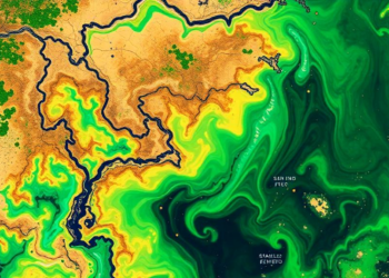
Vegetation-aware satellite assimilation improves soil moisture modeling
A vegetation-aware strategy combining L-, C- and X-band satellite soil-moisture data improved model accuracy by selecting observations according to canopy ...
A vegetation-aware strategy combining L-, C- and X-band satellite soil-moisture data improved model accuracy by selecting observations according to canopy ...

Ground-based microwave radiometers are among the most tireless instruments in atmospheric science. Bolted to the ground and staring permanently upward, ...
A component-resolved data assimilation system combining CALIOP satellite lidar profiles with the WRF-Chem model reconstructs hidden elevated black carbon layers ...
A new MCMC-based ensemble method fuses satellite altimetry with a 30-member ocean model simulation to reconstruct 26 years of Mediterranean ...
A new framework coupling Sentinel-1 radar remote sensing, the DSSAT-CERES-Maize model, and multi-objective optimization cuts irrigation water use by up ...
A systematic review of 57 studies defines Digital Twin Forestry as an emerging informatics paradigm that continuously couples multisensor Earth ...
A lightweight spatial attention module lets a 3D convolutional autoencoder compress atmospheric concentration fields with competitive accuracy, differentiability, and minimal ...
A network of barometer-equipped drifting buoys deployed in the data-sparse Mediterranean Sea measurably improved forecasts of Storm Harry in January ...
A new benchmark across three Luxembourg flood events shows AI weather models excel at light rain and temperature but lose ...
A new study shows that assimilating satellite sea ice concentration observations into a global forecast model significantly improves subseasonal predictions ...

Embark on a thrilling journey of discovery with Scienmag.com—your ultimate source for cutting-edge breakthroughs. Immerse yourself in a world where curiosity knows no limits and tomorrow’s possibilities become today’s reality!