


Deep beneath the jagged gorges of the eastern Tibetan Plateau, a hidden plumbing system feeds some of Asia’s most important rivers. A new study has now mapped that system in unprecedented detail by combining artificial intelligence with the chemical fingerprints locked inside water molecules. The research, published in Environmental Earth Sciences, focuses on the Zheduotang area near Kangding in Sichuan Province, a dramatic alpine canyon landscape where granite peaks rise more than 2,000 meters above the river valleys below. By pairing unsupervised machine learning with isotope tracing, the team has untangled a story of snowmelt, glaciers, faults, and fast-moving underground water that could reshape how scientists understand water resources across the entire plateau.
The Qinghai-Tibet Plateau is often called the Asian Water Tower because it stores and releases enormous volumes of water that sustain billions of people downstream. According to the researchers, groundwater constitutes roughly 85 percent of the total water resources in the region, yet its origins and movement patterns have remained stubbornly difficult to pin down. Climate change is compounding the challenge. Warming temperatures are degrading permafrost, shrinking glaciers, and shifting precipitation patterns, all of which alter how water enters and moves through these high mountain systems. Understanding where groundwater comes from and how it evolves is therefore not just an academic exercise but a pressing question for water security in one of the world’s most sensitive environments.
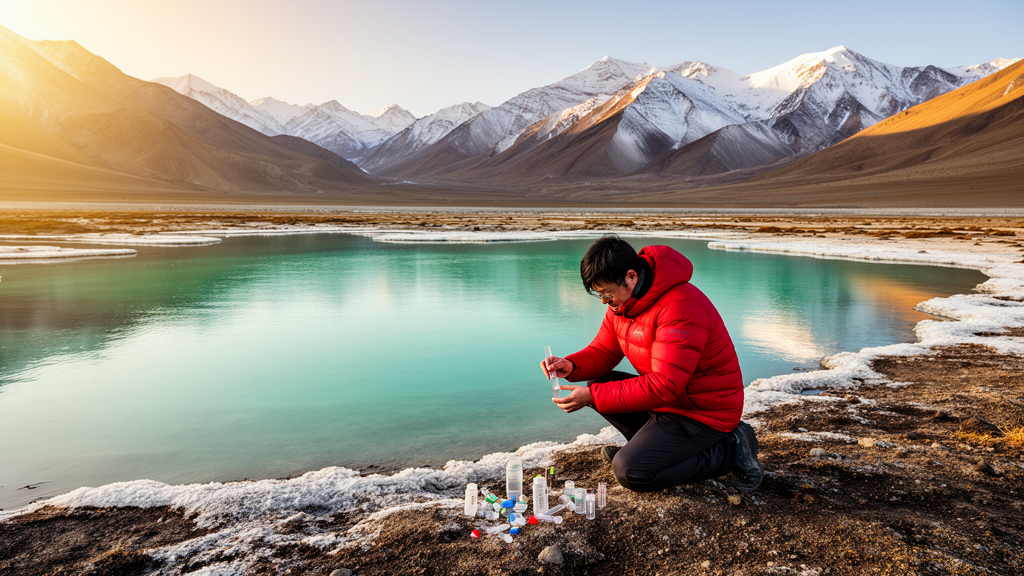
The research team, led by Chongqin Zhao of the Institute of Hydrogeology and Environmental Geology at the Chinese Academy of Geological Sciences, collected 51 water samples across the Zheduotang area in 2022. The haul included 24 river water samples, 13 samples from high-altitude glacial lakes, 10 samples of bedrock fracture groundwater, and 4 precipitation samples. Field teams measured temperature, pH, and total dissolved solids on site using portable instruments, then filtered and preserved the samples for laboratory analysis. At the Monitoring Center on Groundwater, Mineral Water and Environment under China’s Ministry of Natural Resources, technicians measured major ions using ion chromatography and inductively coupled plasma optical emission spectrometry, while isotope specialists determined hydrogen and oxygen isotope ratios with a MAT 253 isotope ratio mass spectrometer and tritium levels with an ultra-low-background liquid scintillation counter.
The analytical centerpiece of the study was a two-stage machine learning approach. First, the researchers fed nine hydrochemical parameters, including potassium, sodium, calcium, magnesium, chloride, sulfate, bicarbonate, pH, and total dissolved solids, into a self-organizing map, or SOM. This unsupervised neural network compresses complex, high-dimensional data onto a two-dimensional grid while preserving the topological relationships among samples. Unlike conventional neural networks that require labeled training data, the SOM uses competitive learning, in which neurons compete to match input patterns and adjust their weights accordingly. The method is also notably robust against noise and errors, an advantage when dealing with sparse field data from remote mountain terrain.
The SOM component planes revealed striking patterns. Calcium, magnesium, and bicarbonate showed nearly identical spatial distributions across the map, and total dissolved solids followed the same pattern, suggesting these variables move together through the landscape. A correlation heatmap confirmed strong positive relationships among these ions, with coefficients exceeding 0.90. Sodium, by contrast, behaved independently, showing weak correlations with the other major ions. To convert these visual patterns into discrete groups, the researchers then applied K-means clustering to the SOM output, using the Davies-Bouldin index to identify the optimal number of clusters. The index reached its minimum at four clusters, and the resulting classification cleanly separated the region’s waters into chemically distinct families.
Cluster I captured river water from the Zheduo River basin, glacial lake water in granite-dominated areas, bedrock fracture groundwater, and precipitation, all characterized by low total dissolved solids averaging 49 milligrams per liter and calcium-bicarbonate to calcium-magnesium-bicarbonate chemistry. Cluster II grouped river and lake water from the metamorphic sandstone-slate domain, with higher dissolved solids averaging 139 milligrams per liter and enriched calcium, magnesium, and bicarbonate. Cluster III consisted exclusively of surface water samples with notable sodium enrichment, while Cluster IV contained a single glacial lake sample with anomalously high chloride, likely reflecting localized inputs from the nearby National Highway G318, tourism, and pastoral activities rather than natural mineral dissolution.
The chemical differences between clusters tell a geological story. In the granite terrain, water interacts briefly with resistant rock, producing dilute solutions dominated by silicate weathering. In the metamorphic sandstone-slate domain, water follows longer paths and dissolves more material, including calcareous layers and vein-type calcite embedded in the metamorphic sequence, which pushes the chemistry toward a carbonate weathering signature. Ionic ratio analysis showed that most samples plot near the silicate end-member, but Cluster II samples shift toward the carbonate end-member, confirming this lithological control. The researchers also identified cation exchange processes operating across multiple clusters, visible as clear linear relationships in the ratio diagrams.
Isotopic evidence provided the second key to unlocking the groundwater puzzle. The stable isotope ratios of deuterium and oxygen-18 in river, lake, and groundwater samples plotted on or near the local meteoric water line, confirming an atmospheric origin. Tritium concentrations, which ranged from 5 to 15 tritium units across water types, indicated that modern precipitation dominates the recharge signal, since tritium levels above 5 tritium units generally signal recent meteoric input. The isotope data also revealed an altitude effect: samples from higher elevations carried more depleted isotope signatures, and bedrock fracture water overlapped isotopically with high-altitude glacial lake and upstream river water rather than with local low-elevation precipitation.
Using the relationship between oxygen-18 and elevation, the researchers calculated that groundwater recharge occurs at elevations between 3,594 and 5,103 meters, typically 400 to 800 meters above the sampling or discharge points. This substantial elevation difference points to efficient vertical hydraulic pathways, most likely the deep faults and fracture networks that dissect the region. The active Zheduotang and Yunongxi faults, trending northwest and south-north respectively, serve as conduits that channel precipitation and snow-ice meltwater from the high ridges down to the valley floors, where the water eventually discharges into rivers.
Synthesizing all the evidence, the team identified three principal recharge modes operating in the Zheduotang area. The first involves direct infiltration of precipitation and snow-ice meltwater through high-elevation fracture and fault zones, producing rapid, focused recharge to bedrock groundwater. The second relies on high-altitude glacial lakes, which act as storage and regulation units that continuously feed groundwater through fracture zones at the lake bottom and margins. The third involves river leakage, where surface water seeps through unconsolidated deposits along the channel and migrates laterally into the groundwater system along structurally controlled pathways. Together, these modes describe a groundwater system dominated by modern recharge, strong surface water and groundwater coupling, and pronounced tectonic control, offering a conceptual framework that can guide water resource management across similar alpine canyon environments on the plateau.
Subject of Research: Groundwater source apportionment and hydrochemical evolution in the Zheduotang alpine gorge region of the Tibetan Plateau using unsupervised machine learning and isotope tracing
Article Title: Source apportionment and evolutionary characteristics of groundwater in the alpine gorge region of the tibetan plateau based on unsupervised machine learning and isotopic tracing: a case study of the zheduotang area, kangding
Article References: Source apportionment and evolutionary characteristics of groundwater in the alpine gorge region of the tibetan plateau based on unsupervised machine learning and isotopic tracing: a case study of the zheduotang area, kangding. (n.d.). https://doi.org/10.1007/s12665-026-13126-6
Image Credits: AI Generated
DOI: 10.1007/s12665-026-13126-6
Keywords: groundwater, Tibetan Plateau, self-organizing map, K-means clustering, isotope tracing, hydrochemistry, alpine canyon, water-rock interaction, glacial lakes, fault zones, recharge elevation, Environmental Earth Sciences
Cite Scienmag News
Teresa Odom. (October 16, 2026). Machine Learning and Isotopes Reveal Hidden Groundwater Pathways in the Tibetan Plateau. Scienmag. https://scienmag.com/machine-learning-and-isotopes-reveal-hidden-groundwater-pathways-in-the-tibetan-plateau/
Teresa Odom. "Machine Learning and Isotopes Reveal Hidden Groundwater Pathways in the Tibetan Plateau." Scienmag, 16 October 2026, https://scienmag.com/machine-learning-and-isotopes-reveal-hidden-groundwater-pathways-in-the-tibetan-plateau/. Accessed 16 October 2026.
Teresa Odom. "Machine Learning and Isotopes Reveal Hidden Groundwater Pathways in the Tibetan Plateau." Scienmag. October 16, 2026. https://scienmag.com/machine-learning-and-isotopes-reveal-hidden-groundwater-pathways-in-the-tibetan-plateau/


