


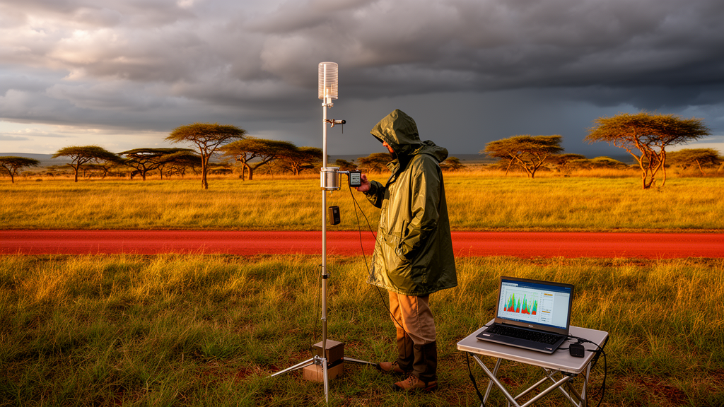
Across much of Africa, the rain gauges that scientists rely on to measure precipitation are few and far between, leaving vast stretches of farmland, savanna, and river basin effectively unmonitored. Satellite rainfall products have emerged as a powerful alternative, offering continuous, high-resolution estimates of precipitation from orbit. But how well do these satellite-based estimates actually match what falls from the sky? A new study published in Discover Geoscience by Charles B. Chisanga and colleagues at Copperbelt University and partner institutions across Zambia provides one of the most detailed answers yet for the southern African nation, putting four widely used satellite rainfall products through a rigorous statistical interrogation against decades of ground-based observations.
The research team evaluated four satellite rainfall products—ARC2, CHIRPS, RFEv2, and TAMSAT—against rainfall records from 34 ground-based stations operated by the Zambia Meteorological Department. These products represent some of the most commonly used precipitation datasets in Africa, each built on different combinations of satellite sensors, atmospheric models, and ground station data. ARC2, produced by the National Oceanic and Atmospheric Administration’s Climate Prediction Centre, generates daily rainfall estimates across Africa using infrared and gauge data. CHIRPS, developed by the Climate Hazards Group at the University of California, Santa Barbara, blends satellite infrared estimates with in-situ gauge observations at a fine 0.05-degree resolution. RFEv2, also from NOAA, merges daily ground reports, passive microwave sensor data, and infrared observations from METEOSAT satellites. TAMSAT, established at the University of Reading in 1977, relies primarily on cold cloud duration imagery calibrated against historical gauge data.
Zambia presents a particularly instructive test case. The landlocked country spans roughly 752,614 square kilometres between latitudes 8.65°S and 18.65°S and longitudes 21.40°E and 33.40°E, encompassing three distinct agro-ecological zones characterised by different rainfall regimes, soil types, and climatic conditions. Its tropical continental climate produces a sharp contrast between a wet season running roughly from October to March and a prolonged dry period. This diversity means that a satellite product performing well in one zone or season may fail in another, making multi-scale evaluation essential for practical applications.
The researchers subjected each satellite product to a battery of statistical metrics designed to probe different aspects of accuracy. These included the probability of detection, which measures how often the satellite correctly identifies a rainy day; the false alarm ratio, which captures how often the satellite reports rain when none actually fell; Pearson’s correlation coefficient, which quantifies the strength of the linear relationship between satellite and gauge values; bias, which reveals systematic over- or underestimation; and the root mean square error and mean absolute error, which measure the typical magnitude of discrepancies. Taylor diagrams were used to visualise how closely each product’s standard deviation and correlation pattern matched the observed data, providing a compact summary of overall performance.
At the daily time step, RFEv2 emerged as the clear standout. Its probability of detection ranged from 0.92 to 0.98, meaning it correctly identified between 92 and 98 percent of actual rainfall events recorded by ground stations. Its false alarm ratio, while variable across stations, was competitive with the other products. The daily Pearson correlation values for RFEv2 ranged from 0.35 to 0.74, the highest maximum among all four products tested. The researchers attribute RFEv2’s superior daily detection skill to its integration of multiple data sources—microwave sensors that can peer through cloud tops and infrared imagery that captures cloud development—allowing it to capture the rapid onset and decay of convective storms that characterise much of Zambia’s rainfall.
CHIRPS, by contrast, demonstrated its greatest strength at the monthly and seasonal scales. Over the long-term period from 1983 to 2021, CHIRPS achieved a coefficient of determination of 0.89 and a Nash-Sutcliffe efficiency of 0.89 for monthly rainfall totals, with a root mean square error of just 29.20 millimetres. When the evaluation window was narrowed to the overlapping period from 2002 to 2010, CHIRPS improved further, reaching an R² of 0.96 and an RMSE of 15.61 millimetres. This exceptional performance at monthly timescales reflects CHIRPS’s design philosophy: by blending satellite infrared estimates with a dense archive of gauge observations, it produces climatologically consistent rainfall totals that track the seasonal cycle with remarkable fidelity.
TAMSAT and ARC2 each carved out their own niches. TAMSAT outperformed the other products during the December-January-February period, the heart of Zambia’s rainy season, suggesting particular skill in capturing the heavy, organised rainfall systems that dominate this period. The researchers note that TAMSAT’s approach, which is insensitive to inconsistent gauge data inputs, allows it to place rainfall variability within a stable long-term climatology—a valuable property for drought monitoring. ARC2, meanwhile, performed well at daily and monthly timescales, particularly during January and February, and showed the lowest false alarm ratio of all four products at the daily scale, ranging from 0.07 to 0.15.
The study also revealed systematic biases that varied by product, season, and location. CHIRPS tended to overestimate monthly rainfall in November and March while underestimating October, January, and February. TAMSAT overestimated rainfall in October, November, February, and March over the long-term record but underestimated February and December in the shorter evaluation period. ARC2 showed overestimation in October, December, January, and February, with underestimation in November. These biases likely stem from differences in spatial resolution, the sensitivity of each product’s algorithm to different rainfall types, and the density of gauge data available for calibration. The researchers point out that CHIRPS’s advantage depends heavily on gauge density—in regions where ground stations are sparse or absent, its performance may converge with that of satellite-only products like TAMSAT.
The practical implications of this work extend well beyond academic interest. Zambia’s economy is deeply tied to rainfall: agriculture employs the majority of the rural population, hydropower generates most of the country’s electricity, and recurrent droughts pose existential threats to food and energy security. The researchers offer sector-specific recommendations based on their findings. RFEv2’s high probability of detection makes it ideal for daily agricultural decision-making, such as irrigation scheduling and crop water requirement calculations. CHIRPS’s seasonal accuracy positions it well for water resource management and hydroelectric power planning. TAMSAT’s strength during the December-February period supports flood early warning systems. ARC2’s low false alarm rate at the daily scale makes it valuable for operational monitoring where false alarms carry real costs.
Perhaps the most important message from this study is that no single satellite rainfall product reigns supreme across all timescales and applications. Instead, the researchers advocate for a tailored, sector-specific approach that matches the strengths of each product to the decision at hand. They also recommend combining multiple products to mitigate individual biases—for instance, using RFEv2 for daily alerts while relying on CHIRPS for seasonal trend analysis. As climate change intensifies rainfall variability across southern Africa, and as ground-based observation networks remain sparse, these satellite products will only grow in importance. This study provides a roadmap for how they can be deployed most effectively, bridging the gap between what satellites see from space and what farmers, water managers, and disaster planners need to know on the ground.
Subject of Research: Evaluation of satellite rainfall products ARC2, CHIRPS, RFEv2, and TAMSAT against ground-based observations across multiple timescales in Zambia
Article Title: Evaluating satellite rainfall products against ground-based observations over Zambia
Article References: Chisanga, C. B., Nkonde, E., Phiri, E., Mubanga, K. H., Singogo, B., Nyirenda, V. R., Phiri, D., & Mulenga, C. (2026). Evaluating satellite rainfall products against ground-based observations over Zambia. Discover Geoscience, 4(1), Article 286. https://doi.org/10.1007/s44288-026-00659-3
Image Credits: AI Generated
DOI: 10.1007/s44288-026-00659-3
Keywords: satellite rainfall, Zambia, CHIRPS, RFEv2, TAMSAT, ARC2, precipitation estimation, rain gauge validation, hydrology, drought monitoring, agriculture, climate variability
Cite Scienmag News
Violet Maxwell. (October 16, 2026). Satellite Rainfall Data Put to the Test Across Zambia’s Diverse Climates. Scienmag. https://scienmag.com/satellite-rainfall-data-put-to-the-test-across-zambias-diverse-climates/
Violet Maxwell. "Satellite Rainfall Data Put to the Test Across Zambia’s Diverse Climates." Scienmag, 16 October 2026, https://scienmag.com/satellite-rainfall-data-put-to-the-test-across-zambias-diverse-climates/. Accessed 16 October 2026.
Violet Maxwell. "Satellite Rainfall Data Put to the Test Across Zambia’s Diverse Climates." Scienmag. October 16, 2026. https://scienmag.com/satellite-rainfall-data-put-to-the-test-across-zambias-diverse-climates/


