


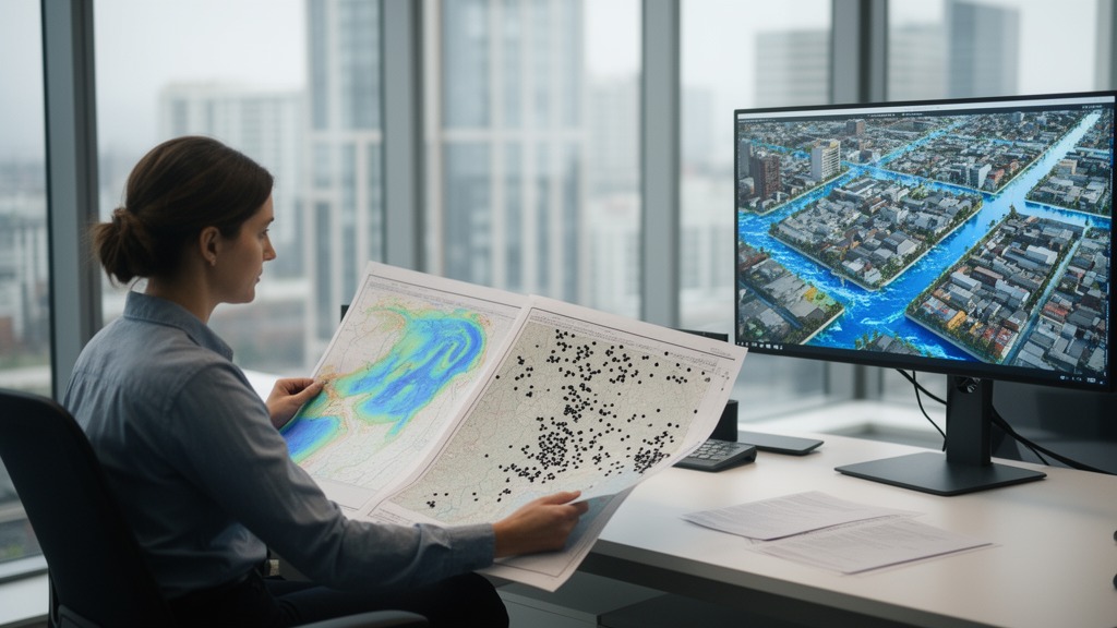
When a violent thunderstorm stalls over a city, flood forecasters turn to numerical models to predict which streets will flood, how deep the water will get, and how quickly the danger will spread. Those models are only as good as the rainfall data fed into them, and a new study in the journal Water Resources Management shows that a seemingly technical choice — how rain gauge measurements are interpolated into a continuous rainfall field — can change simulated flood depths at the same urban location by more than 10 percent. The finding, from a team led by Shunyu Xiao and Jingming Hou at Xi’an University of Technology, suggests that flood-prone cities may be underestimating or overestimating inundation risk simply because of the mathematical method used to spread sparse rain gauge readings across the urban landscape.
Rainfall is the single most important input to any urban flood model, yet cities typically measure it at only a handful of points. Rain gauges record precipitation where they stand, but a storm’s intensity can vary dramatically from one neighborhood to the next. To bridge those gaps, hydrologists use spatial interpolation, a family of statistical techniques that estimate rainfall values at unmeasured locations based on nearby observations. The problem, as the new research demonstrates, is that different interpolation methods — and even different parameter settings within the same method — can produce noticeably different rainfall fields from the same gauge data, and those differences cascade directly into flood predictions.
The research team systematically compared three widely used interpolation techniques: Ordinary Kriging, Inverse Distance Weighting, and Spline interpolation. Each method was tested under three search radius settings, meaning the number of surrounding gauge stations considered when estimating rainfall at any given point. That produced nine distinct configurations, labeled K3, K6, and K9 for Kriging; I3, I6, and I9 for Inverse Distance Weighting; and S3, S6, and S9 for Spline, where the numeral indicates the search radius. Each interpolated rainfall dataset was then used to drive a coupled hydrologic–hydrodynamic model of urban inundation, allowing the researchers to trace exactly how interpolation choices propagate through the entire flood simulation chain.
One of the study’s most striking results concerns a subtle but consequential artifact: negative rainfall values. Some interpolation methods, particularly Spline and certain Kriging configurations, can mathematically produce rainfall estimates below zero at locations between gauges — a physical impossibility that nonetheless appears in the interpolated output. The researchers found that K3, I3, I6, and I9 successfully avoided generating these spurious negative values, while other configurations did not. Negative rainfall, even in small amounts, can distort the water balance in a flood model and introduce errors that are difficult to trace back to their source. The fact that method selection alone determines whether this artifact appears underscores how sensitive the modeling pipeline is to choices that many practitioners make almost routinely.
When the team ran the urban inundation simulations with each of the nine rainfall fields, the differences were substantial. At the same locations within the study area, simulated inundation varied by more than 10 percent depending solely on which interpolation method had been used to prepare the rainfall input. In practical terms, this means that two flood forecasters working with identical gauge observations could produce flood maps that differ meaningfully in extent and depth — not because of model physics or terrain data, but because of how they chose to interpolate rainfall between measurement points. For emergency managers deciding which neighborhoods to evacuate or where to position response resources, a 10 percent discrepancy in predicted flood depth is far from trivial.
To move beyond simple comparison and establish which method actually performs best, the researchers employed spatial cross-validation, a rigorous statistical technique that systematically holds out rain gauge stations from the interpolation process and then evaluates how well each method predicts rainfall at the excluded locations. Combined with the urban flood hydrologic–hydrodynamic coupled model, this approach allowed the team to assess not just how well each method reproduced point rainfall measurements, but how those differences translated into flood simulation accuracy across the urban terrain.
The verdict, at least for the type of urban environment studied, was clear. For cities with flat terrain and minimal elevation variation — conditions that characterize many rapidly urbanizing areas — the Inverse Distance Weighting method with a search radius of six (I6) emerged as the optimal spatial interpolation technique for rainfall. This result is notable because Inverse Distance Weighting is often considered a simpler, less sophisticated alternative to geostatistical methods like Kriging, which explicitly model the spatial correlation structure of rainfall. Yet in the flat urban setting examined here, the simpler method with the right search radius outperformed its more mathematically elaborate competitors, suggesting that the assumption that more complex methods are inherently superior does not always hold in practice.
The study’s findings carry particular weight in the context of China’s ongoing efforts to manage urban flooding. Many Chinese cities have experienced catastrophic inundation events in recent years, prompting national investment in so-called sponge city infrastructure designed to absorb and slow stormwater. Accurate flood simulation is essential both for designing such interventions and for issuing timely warnings when extreme rainfall strikes. If the rainfall field driving a simulation is distorted by an inappropriate interpolation choice, the resulting flood maps — and the decisions based on them — may be systematically wrong in ways that are invisible to the analysts using them.
The research also highlights a broader challenge in hydrological modeling: the chain of assumptions and processing steps that stand between raw observations and model predictions. Much attention in flood forecasting focuses on improving model physics, increasing computational resolution, or incorporating new data sources such as weather radar and satellite precipitation. This study reminds the community that upstream data preparation — something as seemingly mundane as choosing an interpolation algorithm and its search radius — can exert influence comparable to those more glamorous improvements. A model fed with a poorly interpolated rainfall field will produce misleading results no matter how sophisticated its equations or how fine its computational grid.
Looking forward, the authors identify several promising directions for improving rainfall spatial interpolation in urban flood applications. Multi-source data fusion, which combines rain gauge measurements with radar estimates and other observational streams, could reduce reliance on any single sparse network. Hybrid interpolation techniques that blend the strengths of different methods may offer better performance across varied terrain and storm conditions. Rainfall merging algorithms, which optimally combine information from multiple sources while accounting for their respective uncertainties, represent another frontier. As cities worldwide face intensifying extreme rainfall under a changing climate, the seemingly small decision of how to interpolate between rain gauges may prove to be one of the most consequential choices in the entire flood forecasting pipeline.
Subject of Research: The influence of rainfall spatial interpolation methods on numerical simulation of urban inundation
Article Title: Research On the Influence of Different Rainfall Spatial Interpolation Methods On Numerical Simulation of Urban Inundation
Article References: Xiao, S., Hou, J., Wang, T., Li, D., Zhou, X., Pan, X., Chen, G., Xu, L., & Fei, K. (2026). Research On the Influence of Different Rainfall Spatial Interpolation Methods On Numerical Simulation of Urban Inundation. Water Resources Management, 40(13), Article 539. https://doi.org/10.1007/s11269-025-04402-4
Image Credits: AI Generated
DOI: 10.1007/s11269-025-04402-4
Keywords: rainfall interpolation, urban flooding, numerical simulation, Ordinary Kriging, Inverse Distance Weighting, Spline interpolation, spatial cross-validation, hydrologic-hydrodynamic model, flood forecasting, rain gauge data, Water Resources Management, Xi'an
Cite Scienmag News
Violet Maxwell. (October 16, 2026). How the Choice of Rainfall Interpolation Method Can Shift Urban Flood Predictions by More Than 10 Percent. Scienmag. https://scienmag.com/how-the-choice-of-rainfall-interpolation-method-can-shift-urban-flood-predictions-by-more-than-10-percent/
Violet Maxwell. "How the Choice of Rainfall Interpolation Method Can Shift Urban Flood Predictions by More Than 10 Percent." Scienmag, 16 October 2026, https://scienmag.com/how-the-choice-of-rainfall-interpolation-method-can-shift-urban-flood-predictions-by-more-than-10-percent/. Accessed 16 October 2026.
Violet Maxwell. "How the Choice of Rainfall Interpolation Method Can Shift Urban Flood Predictions by More Than 10 Percent." Scienmag. October 16, 2026. https://scienmag.com/how-the-choice-of-rainfall-interpolation-method-can-shift-urban-flood-predictions-by-more-than-10-percent/


