


South-Western Nigerian States Show Relative Convergence in Extreme Warm Night Frequencies
A study across six South-Western Nigerian states found that rising warm-night frequencies converged relatively among state averages between 1991 and ...
A study across six South-Western Nigerian states found that rising warm-night frequencies converged relatively among state averages between 1991 and ...

Researchers integrated multi-satellite environmental indices with machine learning algorithms to model local Plasmodium falciparum prevalence patterns across Karagwe District in ...

An intercomparison of five gridded precipitation datasets across Rio de Janeiro State demonstrates that relative dataset agreement depends heavily on ...

A spatial multi-criteria evaluation in northwestern Iran found that only 7.4 percent of Zanjan County is suitable for landfill development, ...

A satellite-based evaluation across the Loess Plateau revealed that while two primary Chinese soil erosion models captured an overall decline ...

A machine learning framework combining satellite radar, optical, elevation and rainfall data mapped flood inundation across Mumbai, with hydrologic predictors ...

A GIS and Google Earth Engine framework classified Zimbabwe's groundwater potential nationwide and tested it against nearly 10,000 borehole records.
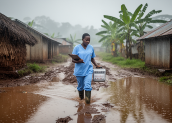
A retrospective ecological study of Ugandan cholera hotspot districts from 2012 to 2022 found that each 100 mm increase in ...

A 24-year validation against 95 Ethiopian rain gauges shows CHIRPS_v3, CHIRPS_v2 and IMERG are the most reliable satellite rainfall products, ...
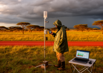
A comprehensive evaluation of four satellite rainfall products against 34 ground stations in Zambia reveals that RFEv2 excels at daily ...


Embark on a thrilling journey of discovery with Scienmag.com—your ultimate source for cutting-edge breakthroughs. Immerse yourself in a world where curiosity knows no limits and tomorrow’s possibilities become today’s reality!