


Satellites Reveal How Wealth Shapes Flood Recovery in Pakistan
A satellite-based analysis of Pakistan's 2022 and 2025 monsoon floods shows that the poorest communities suffer the greatest damage, recover ...
A satellite-based analysis of Pakistan's 2022 and 2025 monsoon floods shows that the poorest communities suffer the greatest damage, recover ...
An integrated analysis combining Sentinel-1 radar mapping, electrical resistivity profiling and borehole statistics has identified the fracture zones and weathering ...
A multi-sensor satellite study shows that Sindh's 2022 floodwaters peaked in September, after rainfall had normalized, revealing that persistent atmospheric ...

A new burst-level parallel processing framework lets standard personal computers run wide-area Sentinel-1 time-series InSAR, revealing coal-mining-induced subsidence across Jining ...
A decade of Sentinel-1 radar and GPS data reveals that parts of Kenya's Nakuru County are sinking at nearly 29 ...
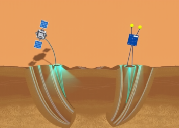
By combining satellite radar, terrestrial water storage data, and borehole fiber optic sensors, researchers have built a framework that links ...
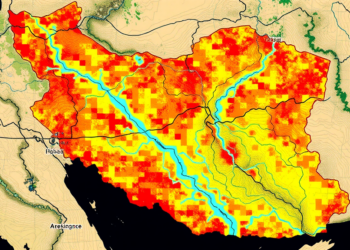
A new study shows that replacing conventional river networks with satellite-derived data significantly improves the accuracy of AHP-based flood hazard ...


Embark on a thrilling journey of discovery with Scienmag.com—your ultimate source for cutting-edge breakthroughs. Immerse yourself in a world where curiosity knows no limits and tomorrow’s possibilities become today’s reality!