

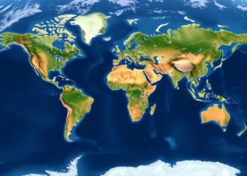
Sinking Cities Mapped From Space: Global Radar Survey Reveals Where the Ground Is Falling
A decade of satellite radar data reveals that land subsidence is widespread across 465 major cities worldwide, with hotspots in ...
A decade of satellite radar data reveals that land subsidence is widespread across 465 major cities worldwide, with hotspots in ...

A three-year, one-kilometer-resolution weather simulation of the North Sea's largest offshore wind farm cluster, validated with four lidars and Sentinel-1 ...
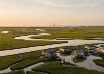
A new comparison of two satellite radar datasets along the central U.S. Gulf Coast reveals they barely agree outside dense ...
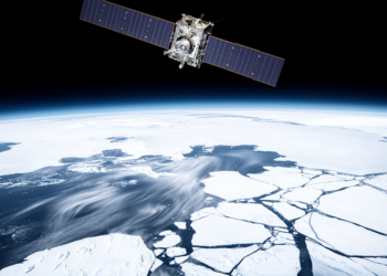
A nine-year comparison with Sentinel-1 radar and drifting buoys shows the NSIDC Antarctic sea ice drift product underestimates ice speed ...
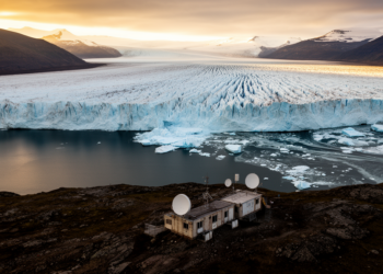
A deep-learning analysis of satellite radar images has produced the first monthly record of ice loss at 147 Svalbard tidewater ...
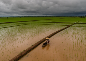
Using Sentinel-1 radar imagery and Indonesia's official paddy field registry, researchers found that rare equatorial Tropical Cyclone Senyar flooded over ...
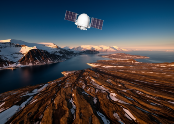
A new open-access satellite radar service is delivering the first operational ground motion maps for Svalbard, revealing how thawing permafrost ...
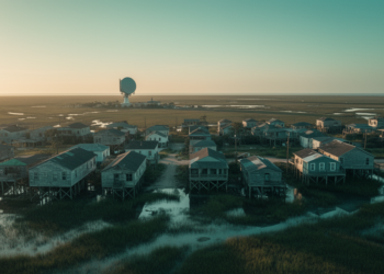
A new comment paper argues that a critique declaring satellite radar unreliable for measuring slow coastal subsidence was undermined by ...
A new cloud-native machine-learning framework called SIAVASH emulates global flood-hazard data to map design-event flood depth and screen infrastructure weak ...

Satellite radar, optical imagery and flood modelling reveal that the repeatedly reactivating Kuwari landslide in Uttarakhand has formed an unstable ...


Embark on a thrilling journey of discovery with Scienmag.com—your ultimate source for cutting-edge breakthroughs. Immerse yourself in a world where curiosity knows no limits and tomorrow’s possibilities become today’s reality!