

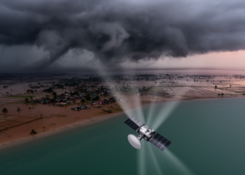
Radar Satellites Map Cyclone Destruction in Bangladesh Through the Clouds
Researchers at the University of Dhaka used Sentinel-1 radar coherence change detection to map damage from five major cyclones in ...
Researchers at the University of Dhaka used Sentinel-1 radar coherence change detection to map damage from five major cyclones in ...

Researchers showed that simple curve-based rules applied to freely available Sentinel-2 and Sentinel-1 satellite data can accurately retrieve five key ...
Deep in the Rif Mountains of northern Morocco, where cereal fields cling to steep slopes and olive groves dot the ...
A new open-source Python tool, LiCSAR-WinFetch, makes satellite radar data acquisition reproducible and lets researchers plan multi-frame InSAR studies before ...
Researchers used double-differential SAR interferometry with Sentinel-1 data to document the rapid drainage of Antarctica's Kronshtadskiy subglacial lake, which lost ...
A decade of satellite radar data reveals that land subsidence is widespread across 465 major cities worldwide, with hotspots in ...
A three-year, one-kilometer-resolution weather simulation of the North Sea's largest offshore wind farm cluster, validated with four lidars and Sentinel-1 ...
A new comparison of two satellite radar datasets along the central U.S. Gulf Coast reveals they barely agree outside dense ...
A nine-year comparison with Sentinel-1 radar and drifting buoys shows the NSIDC Antarctic sea ice drift product underestimates ice speed ...
A deep-learning analysis of satellite radar images has produced the first monthly record of ice loss at 147 Svalbard tidewater ...

Embark on a thrilling journey of discovery with Scienmag.com—your ultimate source for cutting-edge breakthroughs. Immerse yourself in a world where curiosity knows no limits and tomorrow’s possibilities become today’s reality!