

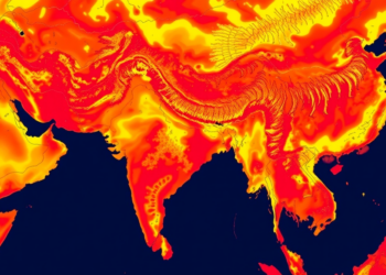
Machine Learning Maps the Spreading Heat Island of Nepal’s Fast-Growing Bharatpur
A 24-year satellite and machine learning study shows Bharatpur's heat island is expanding across the city rather than intensifying at ...
A 24-year satellite and machine learning study shows Bharatpur's heat island is expanding across the city rather than intensifying at ...
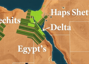
A feature-optimized machine learning framework using MODIS satellite data achieves highly accurate estimation of crop vegetation water stress in Egypt's ...

A comparative review finds that decades of built-up expansion have driven rising land surface temperatures in India's World Heritage Cities ...
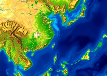
Version 2.1.1 of the open-source YOLO-MOD plugin lets QGIS users run their own trained YOLO models, edit detections interactively, and ...

Researchers have developed CropFusionNet, an interpretable deep learning framework that forecasts wheat, barley, and maize yields across Germany with benchmark-beating ...

A comprehensive new review maps how deep learning can fuse social media and satellite data to make disaster response faster ...
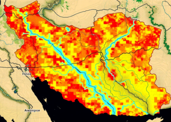
A new study shows that replacing conventional river networks with satellite-derived data significantly improves the accuracy of AHP-based flood hazard ...
A new study combining geospatial analysis, machine learning and trend analysis maps groundwater potential and vulnerability across Jalpaiguri district in ...

A three-decade satellite analysis of Kakinada, India, shows industrial-driven urban sprawl expanding into low-lying delta zones that future sea-level rise ...

A thirty-year satellite analysis shows vegetation in Sudan's conflict-affected Jabel Marra highlands has grown significantly greener, driven mainly by precipitation ...


Embark on a thrilling journey of discovery with Scienmag.com—your ultimate source for cutting-edge breakthroughs. Immerse yourself in a world where curiosity knows no limits and tomorrow’s possibilities become today’s reality!