

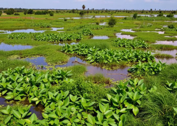
Ghana’s Ada Wetlands Lost Half Their Vegetation, Communities Fight Back
A new study finds Ghana's Ada-Songhor wetland lost 47 percent of its vegetation over three decades while state-community collaborations offer ...
A new study finds Ghana's Ada-Songhor wetland lost 47 percent of its vegetation over three decades while state-community collaborations offer ...

A combined satellite and field study at Penn State's Blue and White Golf Course reveals that course management practices, not ...

Researchers used OCO-2 satellite data and a LightGBM machine learning model to build the first daily, high-resolution global maps of ...

A 22-year Landsat analysis shows Jammu City's built-up area grew 75 percent while farmland and dense vegetation steadily vanished.

Researchers have developed a machine learning framework that fuses satellite data with agricultural statistics to estimate global crop yields months ...

A new study finds that the conservation-managed zone of Nigeria's Ise Forest Reserve supports taller, more diverse forest than disturbed ...

A new Nature Food commentary argues that improving global crop yield estimation demands better accuracy assessment and a clearer understanding ...

A new comparative study of the Sheringal–Kumrat Road in Upper Dir, Pakistan, shows a simple statistical index model outperforming expert-based ...
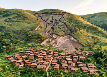
A high-resolution drone survey of Miraswadi, India, found ongoing slope deformation beyond a 2021 landslide scar above a rural settlement.

A terrain map and February 2025 weather analysis identify avalanche-susceptible slopes and snowpack preconditioning around Mana Village in the Indian ...


Embark on a thrilling journey of discovery with Scienmag.com—your ultimate source for cutting-edge breakthroughs. Immerse yourself in a world where curiosity knows no limits and tomorrow’s possibilities become today’s reality!