


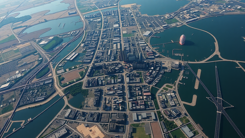
A rapidly industrializing port city on India’s eastern coast has been building its future directly in the path of the rising ocean, according to a new study that combines more than three decades of satellite observations with the latest climate projections. The research, focused on the city of Kakinada in the Krishna-Godavari delta of Andhra Pradesh, documents an extraordinary transformation of the landscape between 1990 and 2022 and warns that the city’s outward, fragmented pattern of growth is quietly steering new homes, industries, and infrastructure into zones that future sea-level rise could submerge.
Kakinada is not a household name outside India, but it is a textbook example of the forces reshaping coastal Asia. Once a regional agrarian trading hub, the city has been propelled by major investments in the Kakinada Special Economic Zone, the Kakinada Gateway Port, and offshore energy development in the Krishna-Godavari basin. That economic engine has demanded land, and lots of it. The study found that built-up area within the 427-square-kilometer urban agglomeration grew from just 5.87 percent of the landscape in 1990 to 15.84 percent in 2022, a nearly threefold expansion consumed overwhelmingly at the expense of cropland and natural vegetation.
To track this change, the researchers, led by Chandra Shekhar Dwivedi and Devbart Kumar of Central University of Jharkhand together with colleagues, processed multi-temporal Landsat satellite imagery on the Google Earth Engine cloud platform. Each year of analysis relied on a post-monsoon median composite built from every cloud-free image available between November and February, minimizing seasonal distortion. Land cover was classified into five categories, built-up, wasteland, natural vegetation, waterbody, and cropland, using a Random Forest machine learning algorithm, a choice the authors note is now standard for complex coastal environments because it outperforms traditional classifiers in landscapes mosaicked with aquaculture ponds, mangroves, and paddy fields. Training samples were verified against Survey of India topographic sheets and historical imagery in Google Earth Pro, and each classification was validated against an independent dataset using confusion matrices, overall accuracy, and the Kappa coefficient.
The resulting land-change record reads like an economic history written in pixels. In the first decade, coinciding with India’s post-liberalization boom, built-up area nearly doubled from 25.10 square kilometers to 44.93 square kilometers, drawing most heavily on cropland and natural vegetation. Between 2000 and 2010, urban growth moderated, but the landscape shifted in another revealing way: the waterbody class expanded by more than 12 square kilometers, reflecting a wholesale conversion of paddy fields into shrimp aquaculture, a practice that permanently alters soil salinity and hydrology. Then, in the most recent period from 2010 to 2022, urban expansion accelerated again under the impetus of the special economic zone and port construction, even as something stranger appeared on the map.
That something was wasteland. Between 2010 and 2022, the area classified as wasteland exploded from 6.60 square kilometers to 57.45 square kilometers, with a staggering 52.39 square kilometers of cropland converted in just twelve years. The authors interpret this as a likely signal of speculative land banking: agricultural plots acquired in advance by developers and industrial entities, cleared of vegetation, and left fallow until construction begins. An alternative and more troubling possibility is ecological. Saline water seeping from the booming aquaculture ponds into adjacent fields can salinize soils and force abandonment, a semi-permanent loss of the delta’s food-producing capacity. Either way, these stripped, barren tracts in the peri-urban fringe are vulnerable zones, prone to erosion and offering no resistance to runoff.
To characterize the shape rather than merely the amount of growth, the team applied the Shannon entropy method, dividing the study area into zones radiating from the city center and measuring how evenly built-up land was distributed. Relative entropy values approaching 1.0 indicate dispersed, fragmented development; values near 0 indicate compact growth. Kakinada’s buffer zones scored between 0.94 and 0.98 in every year analyzed, an unambiguous signature of sprawl. Growth is leapfrogging outward along road corridors and the coastline rather than densifying the core. Even within the municipal boundary, entropy dipped to 0.85 by 2010 as the urban core infilled, then rose again to 0.90 by 2022, suggesting that fragmentation is now penetrating the historic city itself.
The second half of the study confronts that sprawl with the ocean’s future. Regional projections for the Bay of Bengal near Visakhapatnam, drawn from the IPCC Sixth Assessment Report via the NASA Sea Level Projection Tool, suggest a likely sea-level rise of roughly 0.56 meters under the intermediate SSP2-4.5 scenario and 0.71 meters under the high-emission SSP5-8.5 scenario by 2100, with low-confidence, high-impact ice-sheet scenarios reaching 1.6 meters. The team modeled inundation using FABDEM, a 30-meter digital elevation model with forests and buildings algorithmically removed to approximate true bare-earth terrain, a critical correction in vegetated deltas where conventional elevation models overestimate ground height and thereby underestimate risk. A modified bathtub approach with a hydrological connectivity algorithm ensured that only cells with a contiguous path to the sea were flagged, eliminating isolated inland depressions that would inflate the hazard maps.
The exposure figures scale non-linearly and make for sobering reading. Under a 1-meter rise scenario, 3.96 square kilometers of the study area lie exposed, including about 0.31 square kilometers of built-up land. In the critical zone below 2 meters in elevation, chosen as a conservative proxy for the convergence of projected rise and the higher tidal range, 5.79 square kilometers of existing built-up land already sits today. Under an extreme 7-meter scenario representing a major storm surge atop long-term rise, exposure balloons to 337.12 square kilometers of total area, sweeping in 148.26 square kilometers of cropland and 43.12 square kilometers of built-up environment. Crucially, the newer peripheral developments account for a disproportionate share of the exposed land, while the historic core generally occupies higher ground, direct evidence that recent growth is migrating toward topographic vulnerability.
Local dynamics could compress these timelines considerably. The IPCC projections capture global and regional ocean trends but not vertical land motion, and interferometric synthetic aperture radar studies in the Godavari delta have recorded subsidence rates of 10 to 20 millimeters per year, driven by sediment compaction and groundwater extraction. Superimposed on a eustatic rise of 6 to 8 millimeters per year under high emissions, the effective rate of relative sea-level rise experienced by Kakinada could approach triple the global average, meaning the year-2100 inundation scenarios likely represent a conservative baseline. The delta’s natural defense, vertical accretion from river-borne sediment, has been crippled by upstream damming that starves the coast of sediment, a sediment-starvation crisis that leaves the land unable to keep pace.
The authors frame the findings as a warning for planners far beyond one Indian city. Kakinada’s trajectory undermines Sustainable Development Goals 11, 13, and 14, on sustainable cities, climate action, and marine ecosystems respectively, and it illustrates a pattern now global: worldwide, the expansion of settlements into flood-prone zones is increasing exposure faster than climate change itself. The study argues that resilience planning must prioritize geomorphological constraints, enforcing no-build zones in the high-entropy, low-lying fringe while incentivizing vertical densification on safer ground. Without such structural shifts, the ports and industries that powered Kakinada’s ascent risk functional obsolescence, not through economic decline, but through the patient, measurable encroachment of the sea that satellite records have now documented decade by decade.
Subject of Research: Coastal urbanization patterns and future sea-level rise inundation exposure in the Krishna-Godavari delta, India
Article Title: Spatiotemporal dynamics of coastal urbanization and future inundation risk in the krishna godavari delta
Article References: Dwivedi, C. S., Kumar, D., Pandey, A. C., & Basheer Ahammed, K. K. (2026). Spatiotemporal dynamics of coastal urbanization and future inundation risk in the krishna godavari delta. Discover Cities, 3(1), Article 182. https://doi.org/10.1007/s44327-026-00365-2
Image Credits: AI Generated
DOI: 10.1007/s44327-026-00365-2
Keywords: urban sprawl, sea-level rise, Krishna-Godavari delta, Kakinada, remote sensing, Google Earth Engine, Random Forest classification, Shannon entropy, FABDEM, IPCC AR6, coastal flooding, land use land cover change
Cite Scienmag News
Thomas Green. (September 12, 2026). Satellite Records Reveal Indian Delta City Growing Straight Into Rising Seas. Scienmag. https://scienmag.com/satellite-records-reveal-indian-delta-city-growing-straight-into-rising-seas/
Thomas Green. "Satellite Records Reveal Indian Delta City Growing Straight Into Rising Seas." Scienmag, 12 September 2026, https://scienmag.com/satellite-records-reveal-indian-delta-city-growing-straight-into-rising-seas/. Accessed 4 October 2026.
Thomas Green. "Satellite Records Reveal Indian Delta City Growing Straight Into Rising Seas." Scienmag. September 12, 2026. https://scienmag.com/satellite-records-reveal-indian-delta-city-growing-straight-into-rising-seas/


