


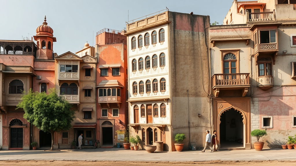
Two of India’s most celebrated historic cities are being slowly cooked by their own growth. A new comparative review of research published between 2000 and 2025 finds that Jaipur and Ahmedabad, both UNESCO World Heritage Cities set in semi-arid western India, have transformed their landscapes so dramatically over the past three decades that the changes are now measurable in degrees. Built-up land has devoured agricultural fields, scrubland, and open space in both cities, and satellite records show that wherever concrete has replaced vegetation, land surface temperatures have climbed in step. The review, published in the journal Discover Cities, is among the first to place the two heritage cities side by side within a single analytical framework, integrating urban growth patterns, remote sensing methods, thermal responses, and planning implications.
The scale of transformation in Ahmedabad is striking. Multi-decadal analyses of land use and land cover report that the city’s built-up area expanded by more than 130 percent between 1990 and 2019, largely at the expense of farmland, peri-urban vegetation, and open ground. Long-term assessments stretching back to 1976 confirm a pattern of continuous peripheral growth, in which rural and semi-urban zones have been progressively absorbed into the metropolitan fabric. What was once a compact historic core has evolved into an increasingly dispersed and heterogeneous urban system, pushed outward in every direction beyond the Sabarmati River by industrial corridors, major road networks, and large-scale residential development. Manufacturing hubs, commercial centers, and institutional zones have accelerated land conversion across the vast peri-urban belt surrounding the city.
Jaipur’s story is different in shape but similar in substance. Studies of the Rajasthan capital document significant and steady growth in built-up land since the mid-1990s, consumed mainly at the cost of agricultural land, scrubland, and open spaces. Unlike Ahmedabad’s radial spread, Jaipur’s expansion has been strongly directional, concentrated in the western, southern, and northwestern sectors of the city. The review attributes this asymmetry to the development of major roads, industrial estates, institutional nodes, and large residential colonies in those directions, combined with the availability of flat, easily developable land and improving connectivity. Vegetation cover in Jaipur has shown a consistent declining trend across the periods reported in the literature. Although planned green areas such as parks and landscaped localities have increased slightly, these gains are confined to small geographic pockets and do not compensate for the loss of natural and agricultural cover, with negative consequences for the city’s ecological balance.
The thermal consequences of these land conversions are well documented in both cities. Satellite-based studies consistently find a positive correlation between the growth of built-up area and rising land surface temperature, or LST, across multiple temporal scales. The mechanism is straightforward physics. When permeable, vegetated ground is replaced with impervious materials such as concrete and asphalt, the surface absorbs more solar radiation and retains more heat. Urban surfaces typically have lower albedo than natural vegetation, meaning they reflect less sunlight and absorb more energy. At the same time, the loss of vegetation and open land reduces evapotranspiration, the process by which plants release moisture and cool their surroundings. Dense building clusters, narrow streets, and high-rise construction further obstruct airflow and natural ventilation, trapping heat within street canyons and degrading the city’s capacity to shed warmth after dark.
The review distinguishes carefully between related thermal phenomena. The urban heat island, or UHI, describes the situation in which air temperatures in an urban center exceed those of surrounding rural areas because of urbanization, vegetation loss, and waste heat from human activity. The surface urban heat island, or SUHI, is its surface manifestation, measured through satellite-derived estimates of land surface temperature rather than thermometer readings. In Ahmedabad, the interplay between these phenomena proves surprisingly complex. Surface moisture availability and the agricultural cropping cycle strongly influence SUHI intensity. During the pre-monsoon season, when soils are dry and vegetation cover is sparse, rural areas around the city can become extremely hot, sometimes producing lower or even negative daytime SUHI intensity, meaning the city surface is not dramatically hotter than its parched surroundings. Nighttime SUHI intensity, however, remains consistently positive, because urban materials store heat during the day and release it slowly after sunset. Jaipur, by contrast, shows an almost constant rise in land surface temperature driven by the steady expansion of urban surfaces.
Methodologically, the two cities have followed markedly different research trajectories, and this asymmetry is one of the review’s central findings. Ahmedabad has emerged as a methodological benchmark for predictive urban growth modeling in India. Its studies routinely integrate cellular automata–Markov chain models, artificial neural networks, transition probability matrices, and validation statistics such as kappa coefficients, weaving in population data, road proximity, and industrial growth indicators to simulate future expansion scenarios. This modeling sophistication gives planners a genuine capacity to evaluate alternative futures. Jaipur’s literature, in contrast, remains largely retrospective, relying on conventional supervised classification and change detection to document what has already happened, with few predictive modeling studies. Both cities exhibit comparable trends of vegetation loss and rising surface temperature, but the strength of evidence available to support forward-looking urban planning is considerably greater for Ahmedabad.
The review itself was conducted with unusual rigor for a narrative synthesis. The author searched Scopus, Web of Science, Google Scholar, and ScienceDirect from June to December 2025, using combinations of keywords covering land use and land cover, urban and surface heat islands, land surface temperature, remote sensing and GIS, urban growth modeling, and World Heritage City urbanization. The initial search returned 90 articles, which were screened down to 51 full texts and finally to 39 studies included in the qualitative comparative analysis, following a PRISMA-inspired framework to ensure transparency and reproducibility. Because the underlying studies used different satellite sensors, spatial resolutions, classification algorithms, and validation procedures, the review deliberately avoided direct numerical comparison, instead synthesizing evidence across common themes including growth pattern, thermal response, modeling sophistication, and planning relevance.
The stakes extend well beyond thermal maps. Rising urban temperatures elevate the risk of heat illness, dehydration, respiratory disease, and cardiovascular stress, with outdoor laborers, elderly residents, and economically disadvantaged communities facing the greatest exposure. Heat stress is also linked to declining labor productivity in construction, transport, and informal work sectors that dominate rapidly growing semi-arid cities. Climate change compounds these pressures by intensifying heatwaves and droughts and by reducing water availability, while vegetation loss, shrinking water bodies, and groundwater depletion erode urban ecological resilience. Recent Ahmedabad studies have begun integrating land surface temperature, evapotranspiration, vegetation indices, and groundwater parameters into compound analyses of urban growth and climate variation, though comparable integrated research in Jaipur remains scarce. For cities whose historic urban fabric, from Jaipur’s planned eighteenth-century grid to Ahmedabad’s walled old city, is the very asset that earned global recognition, unmanaged heat and sprawl threaten both environmental sustainability and heritage conservation.
The review identifies clear research gaps and a path forward. Most existing work concentrates on biophysical change detected through remote sensing, while socioeconomic, institutional, and governance drivers, including census-based demographics, migration, and land-use policy, remain underexplored in both cities. Peri-urban transition zones, where land conversion is fastest and least controlled, deserve far more detailed spatial assessment. The author calls for integrating land change analysis with urban climate modeling, heat stress mapping, and land-atmosphere interaction studies, and for greater use of machine learning techniques such as random forest, support vector machines, deep learning, and hybrid cellular automata approaches. Heat vulnerability analysis, combining thermal exposure with population density, public health indicators, and access to green space, is flagged as essential for identifying at-risk communities. On the policy side, the prescriptions are concrete: expand green infrastructure, protect urban ventilation corridors, promote permeable surfaces and nature-based solutions, and embed heritage-sensitive climate adaptation into planning. As the review concludes, the future sustainability of India’s semi-arid World Heritage Cities depends on treating land use, urban climate, and cultural heritage as a single, inseparable planning problem rather than three separate bureaucracies.
Subject of Research: Land use transformation and urban heat island dynamics in the UNESCO World Heritage Cities of Jaipur and Ahmedabad, India
Article Title: Land use transformation and urban heat dynamics in India’s world heritage cities Jaipur and Ahmedabad
Article References: Kashyap, P. J. (2026). Land use transformation and urban heat dynamics in India’s world heritage cities Jaipur and Ahmedabad. Discover Cities, 3(1), Article 179. https://doi.org/10.1007/s44327-026-00361-6
Image Credits: AI Generated
DOI: 10.1007/s44327-026-00361-6
Keywords: land use land cover, urban heat island, land surface temperature, Jaipur, Ahmedabad, remote sensing, GIS, urbanization, World Heritage Cities, CA-Markov, surface urban heat island, semi-arid cities
Cite Scienmag News
Courtney Benton. (September 12, 2026). Concrete Spread: Jaipur and Ahmedabad’s Heritage Districts Are Heating Up Fast. Scienmag. https://scienmag.com/concrete-spread-jaipur-and-ahmedabads-heritage-districts-are-heating-up-fast/
Courtney Benton. "Concrete Spread: Jaipur and Ahmedabad’s Heritage Districts Are Heating Up Fast." Scienmag, 12 September 2026, https://scienmag.com/concrete-spread-jaipur-and-ahmedabads-heritage-districts-are-heating-up-fast/. Accessed 16 October 2026.
Courtney Benton. "Concrete Spread: Jaipur and Ahmedabad’s Heritage Districts Are Heating Up Fast." Scienmag. September 12, 2026. https://scienmag.com/concrete-spread-jaipur-and-ahmedabads-heritage-districts-are-heating-up-fast/


