

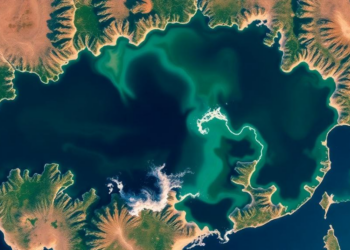
Satellites Reveal Hidden Drought Patterns in China’s Largest Freshwater Lake
A new satellite-based study of Poyang Lake shows that a standardized inundation area index derived from fused Landsat and MODIS ...
A new satellite-based study of Poyang Lake shows that a standardized inundation area index derived from fused Landsat and MODIS ...

A thirty-year satellite and field study of Bangladesh's Sylhet Division shows settlement expansion of nearly 192 percent, a quarter of ...
Researchers have built a rigorously verified dataset of 12,991 satellite-annotated samples documenting four decades of stable, disturbed and newly forested ...
A thirty-year satellite analysis of Islamabad and Rawalpindi shows that urban expansion has widened land surface temperature extremes and intensified ...
A new study combining Landsat imagery and neural network modeling shows that Fiche Town in central Ethiopia more than doubled ...
A new robust statistical framework applied to Landsat data from interior Alaska shows that most burn scars fade spectrally within ...
A two-decade satellite and machine learning study shows Chennai's urban heat island intensity doubled as built-up area surged by more ...
A study of over 181,000 Medicare beneficiaries in Miami-Dade County shows that the link between satellite-measured neighborhood greenness and Alzheimer's ...
A 30-year satellite analysis of Assam's Amchang Wildlife Sanctuary reveals that dense forest cover has fallen by more than half ...
An automated satellite analysis using Google Earth Engine reveals that glacial lakes in the Upper Indus Sub-Basin tripled from 255 ...

Embark on a thrilling journey of discovery with Scienmag.com—your ultimate source for cutting-edge breakthroughs. Immerse yourself in a world where curiosity knows no limits and tomorrow’s possibilities become today’s reality!