

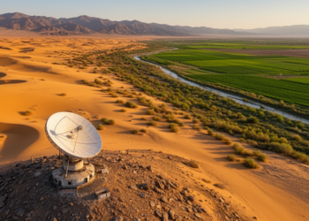
Satellite Record Reveals How Drought and Restoration Reshaped Vegetation in Arid Northwestern China
A 33-year Landsat analysis shows vegetation cover in arid northwestern China slowly increasing, with extreme drought driving sharp declines and ...
A 33-year Landsat analysis shows vegetation cover in arid northwestern China slowly increasing, with extreme drought driving sharp declines and ...

A two-decade satellite analysis of 100 global cities shows that losing water bodies and expanding impervious surfaces amplify urban extreme ...
A two-decade satellite analysis of Yalova, Türkiye, shows built-up land surging 138 percent and projects an elevenfold expansion of extreme ...
A four-decade study in northern Spain shows that widely used land cover maps like CORINE and SIOSE introduce scale-dependent errors ...
A 34-year satellite analysis shows Dhaka's built-up area nearly tripling as vegetation and water vanished, driving 70 percent of the ...
A 30-year Landsat analysis shows Guwahati's mean land surface temperature rose from 28.27 to 32.07 degrees Celsius as urban expansion ...
Using random forest classification of Landsat imagery and a TensorFlow 1D-convolutional neural network, researchers reconstructed 30 years of land cover ...
A 30-year satellite analysis of Nepal's Rupandehi District shows ecological quality improved overall despite a tenfold expansion of built-up area, ...
A satellite and GPS tracking study of a Gir cattle migration corridor in central India finds that dry, hot forage, ...
A new satellite-based study of Poyang Lake shows that a standardized inundation area index derived from fused Landsat and MODIS ...

Embark on a thrilling journey of discovery with Scienmag.com—your ultimate source for cutting-edge breakthroughs. Immerse yourself in a world where curiosity knows no limits and tomorrow’s possibilities become today’s reality!