

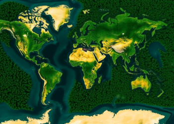
Satellites and Algorithms Race to Map the World’s Hidden Dryland Forests
A new study in Argentina's Monte desert shows that whether pixel-based or object-based satellite classification works best for detecting open ...
A new study in Argentina's Monte desert shows that whether pixel-based or object-based satellite classification works best for detecting open ...

A two-decade satellite analysis of 100 global cities shows that losing water bodies and expanding impervious surfaces amplify urban extreme ...
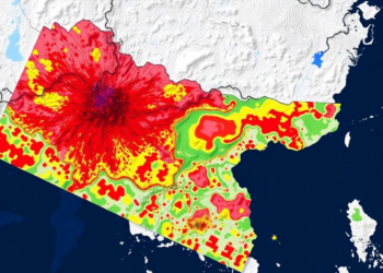
A new machine learning study maps Nepal nationwide flood and landslide susceptibility and identifies thousands of square kilometres of connected ...
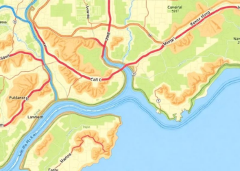
A four-decade study in northern Spain shows that widely used land cover maps like CORINE and SIOSE introduce scale-dependent errors ...

A 34-year satellite analysis shows Dhaka's built-up area nearly tripling as vegetation and water vanished, driving 70 percent of the ...
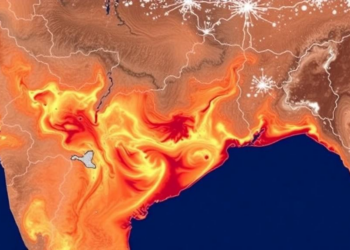
A 30-year Landsat analysis shows Guwahati's mean land surface temperature rose from 28.27 to 32.07 degrees Celsius as urban expansion ...
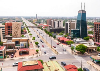
Using random forest classification of Landsat imagery and a TensorFlow 1D-convolutional neural network, researchers reconstructed 30 years of land cover ...
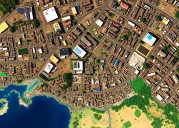
A 30-year satellite analysis of Nepal's Rupandehi District shows ecological quality improved overall despite a tenfold expansion of built-up area, ...
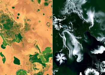
A seven-year satellite study of Türkiye's Meriç-Ergene Basin shows organic water quality pressures peaking in spring and summer while sediment ...
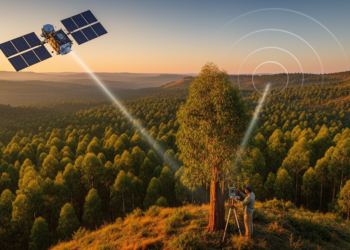
By fusing spaceborne LiDAR, radar and optical satellite data with field plots, researchers have produced high-resolution canopy height and biomass ...


Embark on a thrilling journey of discovery with Scienmag.com—your ultimate source for cutting-edge breakthroughs. Immerse yourself in a world where curiosity knows no limits and tomorrow’s possibilities become today’s reality!