

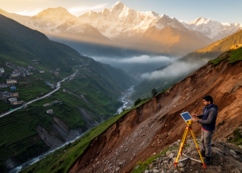
Mapping landslide risk across the Indian Himalaya to guide safer planning
A new study maps landslide susceptibility and risk across the Indian Himalayan Region, finding about 8% of the area under ...
A new study maps landslide susceptibility and risk across the Indian Himalayan Region, finding about 8% of the area under ...
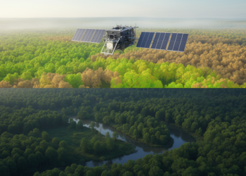
A Sentinel-2 and Random Forest study mapped substantial seasonal and interannual redistribution of forest canopy density across Orchha Wildlife Sanctuary ...
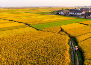
Researchers built a 30-meter-resolution maize production map of China for 2019 and 2020 by downscaling official provincial statistics with satellite-derived ...
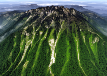
A Google Earth Engine analysis found significant vegetation improvement across 41.65% of Fanjing Mountain from 1987 to 2022 and mapped ...
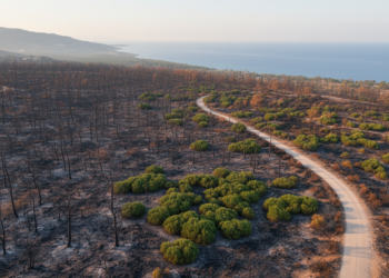
Object-based machine-learning models mapped burned forests from Sentinel-2 imagery, retaining overall accuracies above 83% in transfer tests at selected Mediterranean ...
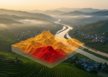
A new study combines satellite imagery, machine learning and expert-weighted zoning to map environmental fragility and forecast land-cover change in ...
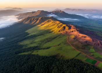
High in the southeastern highlands of Ethiopia, the Bale Mountains rise through an extraordinary ladder of life: dense montane forest ...
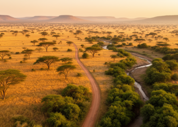
A twenty-year satellite analysis of Kruger National Park and its surroundings shows Random Forest outperforming three other machine learning classifiers ...

A free interactive web application distills a 20-member ensemble of global hydrological models into maps and percentile charts that reveal ...

A satellite and machine learning study tracking the Indian Himalayan Region from the 2020 lockdown to 2024 finds air quality ...


Embark on a thrilling journey of discovery with Scienmag.com—your ultimate source for cutting-edge breakthroughs. Immerse yourself in a world where curiosity knows no limits and tomorrow’s possibilities become today’s reality!