


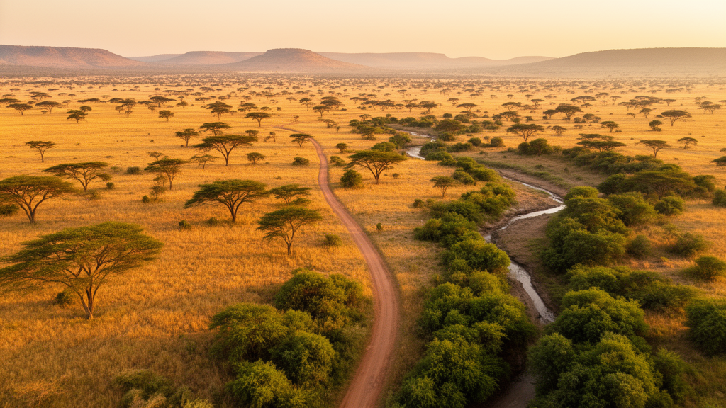
One of Africa’s most celebrated conservation landscapes is quietly transforming, and a new satellite-based study has now mapped that transformation in remarkable detail. Researchers from the University of KwaZulu-Natal and the South African National Space Agency analyzed twenty years of land use and land cover change in and around Kruger National Park, using Landsat imagery from 2005, 2015, and 2025 and four competing machine learning algorithms. Their findings, published in Frontiers in Remote Sensing, reveal a savanna under growing pressure: built-up areas surged, agricultural land expanded, and water bodies shrank dramatically across the roughly 59,677 square kilometer study area that spans portions of South Africa, Zimbabwe, and Mozambique within the Great Limpopo Transfrontier Conservation Area.
The study’s methodological core was a head-to-head comparison of Random Forest, Support Vector Machine, Gradient Tree Boosting, and K-Nearest Neighbors classifiers, all trained on identical input variables to ensure a fair contest. The team used six spectrally equivalent Landsat bands—Blue, Green, Red, NIR, SWIR1, and SWIR2—together with five spectral indices: NDVI for vegetation density, SAVI to minimize soil brightness effects in sparse vegetation, EVI to reduce atmospheric influence, NDBI to highlight built-up surfaces, and NDWI to detect surface water. All imagery was pre-processed using Level-2 Surface Reflectance products, with the LEDAPS atmospheric correction applied to Landsat 5 Thematic Mapper data and the LaSRC correction applied to Landsat 8 and Landsat 9 datasets, ensuring radiometric consistency across the twenty-year time series.
Random Forest emerged as the clear winner. It achieved the highest Overall Accuracy across all three study years—92 percent in 2005, 89 percent in 2015, and 89 percent in 2025—with Kappa coefficients of 0.87 throughout. Gradient Tree Boosting followed closely with accuracies between 86 and 88 percent, while K-Nearest Neighbors produced satisfactory results in the 84 to 86 percent range. Support Vector Machine lagged behind at roughly 72 to 73 percent, with Kappa values as low as 0.55 in 2005, indicating substantial classification confusion for spectrally similar vegetation classes. The researchers attribute Random Forest’s dominance to its ensemble architecture, which builds many decision trees on bootstrap samples and random feature subsets, then determines the final class by majority voting—a design that handles high-dimensional data, nonlinear relationships, and noisy inputs while resisting overfitting.
Class-level accuracy assessment reinforced this picture. Under Random Forest, water bodies and plantation forests recorded User’s Accuracy values of 0.95 and 0.96 in 2005, with Producer’s Accuracy reaching 0.92 and 0.97 respectively. By 2015 and 2025, water classification had become near-perfect across the ensemble methods, with accuracy values approaching 1.00. In contrast, Support Vector Machine struggled badly with grassland in 2005, recording a Producer’s Accuracy of just 0.19, and confused woodland/shrubland and bare land classes throughout the study period. The confusion matrices confirmed that Random Forest produced the most balanced omission and commission errors across nearly all land cover classes, a critical property when the resulting maps feed directly into change detection analysis.
The spatial story that emerged from the highest-accuracy maps is striking. Woodland and shrubland remained the dominant land cover class—Random Forest estimated it at 31,129 square kilometers in 2005—but it experienced progressive fragmentation and conversion to grassland, agricultural land, and bare land. Built-up areas expanded substantially, particularly between 2005 and 2015, when Random Forest estimated an increase of 1,371.5 square kilometers, or 184 percent. Agricultural land also grew, reflecting intensifying farming activity and land conversion on communal lands surrounding the park. Notably, relatively stable vegetation patterns were observed within the protected core of Kruger National Park itself, suggesting that formal conservation management is effectively buffering the park’s interior even as surrounding landscapes transform.
Perhaps the most alarming trend is hydrological. Water bodies declined consistently across all classifiers and all time intervals. Random Forest estimated a loss of 1,052.9 square kilometers—76 percent—between 2005 and 2015, and the long-term 2005 to 2025 analysis showed a 76 percent decline overall. K-Nearest Neighbors estimated an even steeper 83 percent reduction. Because water availability regulates vegetation productivity, wildlife distribution, and ecosystem resilience in semi-arid savannas, this persistent contraction of rivers, dams, and seasonal water points signals increasing hydrological and environmental stress, likely driven by the combined influence of rainfall variability, rising temperatures, and growing human demand for water resources.
The transition matrices built from the Random Forest maps revealed a savanna in constant flux. Between 2005 and 2015, approximately 17,829 square kilometers of woodland and shrubland persisted unchanged, but 5,442 square kilometers converted to grassland, 2,346 square kilometers to natural forest, and 1,942 square kilometers to bare land. Grassland, in turn, showed 4,815 square kilometers converting back into woodland and shrubland. These substantial bidirectional exchanges between woody vegetation and grassland suggest that the ecosystem remains highly dynamic, with vegetation succession, regeneration, fire disturbance, and herbivory by elephants and other large mammals operating simultaneously alongside anthropogenic land conversion. Some transitions likely represent natural ecological processes rather than permanent degradation alone.
The researchers interpret these patterns as the product of interacting drivers rather than any single force. Climate variability—with annual rainfall ranging from roughly 450 to 750 millimeters and summer temperatures frequently exceeding 30 degrees Celsius—strongly regulates vegetation productivity and surface water availability. Fire regimes and herbivory continuously restructure vegetation communities within the park. Beyond the park boundaries, population growth, agricultural expansion, settlement development, and infrastructure construction drive landscape transformation, particularly along park edges and on communal lands. The transboundary nature of the study area adds further complexity, as differences in land-use policies, governance systems, and socio-economic conditions across South Africa, Mozambique, and Zimbabwe shape the intensity and spatial distribution of change.
Methodologically, the study demonstrates that integrating machine learning with multi-temporal Landsat imagery processed in Google Earth Engine provides a robust framework for monitoring complex, heterogeneous savanna landscapes. The team collected 1,163 reference samples distributed across eight land cover classes, splitting them 70 percent for training and 30 percent for independent validation, with identical datasets used across all four algorithms. Training samples were digitized as polygons on high-resolution imagery and converted to pixel-based points using stratified sampling, minimizing labeling errors and spatial bias. The authors acknowledge that the 30-meter resolution of Landsat inevitably produces mixed pixels along woodland-grassland transitions, riparian corridors, and fragmented peri-urban environments, contributing to some classification uncertainty regardless of algorithm.
The implications extend well beyond Kruger National Park. Accurate, continuous land cover monitoring can support early detection of vegetation degradation, agricultural encroachment, urban expansion, and hydrological change, enabling timely conservation interventions. The transition matrices offer conservation agencies a practical tool for identifying priority areas for ecological restoration and evaluating management effectiveness. In transboundary conservation landscapes like the Great Limpopo Transfrontier Conservation Area, such evidence can strengthen collaborative planning among the three nations sharing the ecosystem. The researchers suggest that future work should integrate higher-resolution optical, radar, LiDAR, and UAV datasets with advanced deep learning approaches, including Convolutional Neural Networks and Vision Transformers, to resolve fine-scale landscape features that medium-resolution satellite imagery cannot capture. For now, the study stands as compelling scientific evidence that ensemble-based machine learning, particularly Random Forest, offers the most reliable approach for mapping and monitoring one of Africa’s most ecologically significant protected landscapes as human pressures continue to reshape it.
Subject of Research: Machine Learning Reveals Two Decades of Landscape Change Around Kruger National Park
Article Title: Multi-temporal land use/land cover dynamics (2005–2025) and machine learning algorithm comparison in and around kruger national park
Article References: Gwala, O. Z., Altoom, M. B., Rameolo, A., & Gebreslasie, M. (2026). Multi-temporal land use/land cover dynamics (2005–2025) and machine learning algorithm comparison in and around kruger national park. Frontiers in Remote Sensing, 7, Article 1915380. https://doi.org/10.3389/frsen.2026.1915380
Image Credits: AI Generated
DOI: 10.3389/frsen.2026.1915380
Keywords: remote sensing, machine learning, Random Forest, Kruger National Park, land use land cover, change detection, savanna ecosystems, Landsat, conservation, Google Earth Engine, Multi-temporal, land
Cite Scienmag News
Teresa Odom. (October 17, 2026). Machine Learning Reveals Two Decades of Landscape Change Around Kruger National Park. Scienmag. https://scienmag.com/machine-learning-reveals-two-decades-of-landscape-change-around-kruger-national-park/
Teresa Odom. "Machine Learning Reveals Two Decades of Landscape Change Around Kruger National Park." Scienmag, 17 October 2026, https://scienmag.com/machine-learning-reveals-two-decades-of-landscape-change-around-kruger-national-park/. Accessed 17 October 2026.
Teresa Odom. "Machine Learning Reveals Two Decades of Landscape Change Around Kruger National Park." Scienmag. October 17, 2026. https://scienmag.com/machine-learning-reveals-two-decades-of-landscape-change-around-kruger-national-park/


