

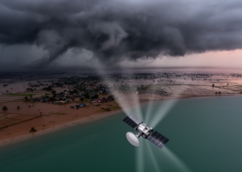
Radar Satellites Map Cyclone Destruction in Bangladesh Through the Clouds
Researchers at the University of Dhaka used Sentinel-1 radar coherence change detection to map damage from five major cyclones in ...
Researchers at the University of Dhaka used Sentinel-1 radar coherence change detection to map damage from five major cyclones in ...

A twenty-year satellite analysis of Kruger National Park and its surroundings shows Random Forest outperforming three other machine learning classifiers ...
A newly released benchmark called WD-CD compiles nearly ten thousand high-resolution satellite image pairs from five wars across three continents ...
Researchers in Chongqing have developed a wavelet-guided deep learning framework that coordinates frequency-domain and spatial cues to sharply localize changes ...
A three-decade satellite analysis of India's Suti River Basin shows fallow land collapsing from over half the catchment to a ...
New experiments show that keeping bound features together in visual working memory requires object-based attention even when strategic control processes ...
Researchers have developed CADE, a lightweight semi-supervised AI framework that predicts and generates future satellite imagery with high accuracy and ...
Researchers have developed Hoeffding Adaptive Splitting Trees that combine periodic and change-driven splitting to improve ensemble classification of data streams ...
A 22-year Landsat analysis shows Jammu City's built-up area grew 75 percent while farmland and dense vegetation steadily vanished.

Embark on a thrilling journey of discovery with Scienmag.com—your ultimate source for cutting-edge breakthroughs. Immerse yourself in a world where curiosity knows no limits and tomorrow’s possibilities become today’s reality!