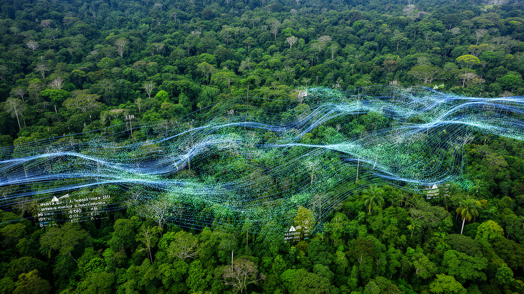
Deep in the Congo Basin, smallholder farmers clear patches of forest smaller than a hectare, and the clouds that hang over the region routinely hide those openings from the satellites that watch them. A new study published in Frontiers in Remote Sensing describes a statistical overhaul of Sentinel-1 radar data that allows both annual and near-real-time detection of tropical forest loss, cutting the waiting period needed to confirm a detection to roughly 24 days—half the consolidation time of current operational radar-based alert systems.
The research, led by Baptiste Delhez and colleagues at the Université Catholique de Louvain in Belgium, tackles a stubborn problem in satellite forest monitoring. Optical imagery, the backbone of global forest change products such as Global Forest Change and the Tropical Moist Forest dataset, is limited to 30-meter resolution and suffers from recurring cloud cover and haze over Central Africa. That scarcity prevents sub-annual assessment of forest loss and introduces bias into annual maps, because the first cloud-free image of the year varies from place to place and year to year. The Sentinel-1 C-band radar, with a wavelength of 5.5 centimeters, sees through clouds and revisits the Congo Basin every 12 days, but its raw backscatter signal is notoriously noisy.
The core innovation is temporal standardization. For every pixel of every radar image, the team computed a statistical baseline from the two preceding years of observations—on average about 60 acquisitions—and converted each new measurement into a z-value: the number of standard deviations that pixel sits above or below its own historic median. This pixel-specific normalization prevents the system from mistaking stable low backscatter values, including the frequent radar shadows cast at forest edges, for deforestation. Instead, only an unusual decrease relative to the pixel’s own trend counts as a candidate signal. A 5-by-5 pixel median filter reduced residual speckle, and a local standardization over 2-by-2-kilometer blocks reset the stable forest baseline to zero, keeping thresholds coherent across weather extremes such as droughts.
From this standardized dataset, the researchers built two detection methods. The annual method tested four composite indices—mean, median, 10th percentile, and the mean of values below the 10th percentile—each computed separately for the VV and VH polarizations and then combined by requiring both to cross a threshold. The 10th-percentile index, enhanced with two observations from the following January to catch late-year clearings, proved most reliable throughout the year. At its optimal threshold of −1.8 standard deviations, validated in the Kisangani study area, it detected 96.5 percent of the reference forest loss surface with an annual false positive rate in stable forest of just 0.037 percent and an F-score of 75.6 percent.
The continuous method processes three successive radar observations in a sliding window, computing mean composites for both polarizations and flagging a detection only when both agree. This consolidation period of 24 days is half the 48 days required by the operational RADD alert system to confirm 95 percent of its detections. The continuous method achieved a surface detection rate of 98.3 percent with an annual false positive rate of 0.049 percent, and its median detection delay after the first observation of a disturbance was 15 days. In the Kisangani area, where 8,525 square kilometers of intact forest were monitored, the system detected 78.42 square kilometers of loss in 2021; after statistical correction for expected false positives, the corrected figure of 77.24 square kilometers corresponded to 0.91 percent intact forest loss for that year.
A subtle geometric problem also received attention. Because the Sentinel-1 radar observes at incidence angles between 31 and 46 degrees, tall canopies cast radar shadows that shift the apparent position of forest loss patches. The study measured a mean horizontal offset of 10.4 meters to the east for the annual detection and 8.5 meters for the continuous detection, consistent with the roughly 30-meter canopy height and the eastward-looking geometry of the descending orbit. Correcting this offset improved the F-scores of both methods and, notably, also improved the performance of the RADD alerts benchmark, which carried a 15.1-meter offset of its own.
Validation relied on independent optical references rather than the radar data being tested. Sentinel-2 images at 10-meter resolution and PlanetScope imagery at 3-meter resolution were combined to delineate and date reference patches, exploiting the geometric accuracy of Sentinel-2 and the dense time series of PlanetScope. In the Kisangani validation area, 323 annual forest loss patches with a mean size of about 1.1 hectares were photointerpreted, and 195 patch centroids received reference dates. Calibration took place separately around Yangambi, using 60 spatial targets and 230 monthly-dated targets, and the calibrated models were then applied to the disconnected Kisangani extent without further tuning—a design the authors say supports the generalization of the approach.
The comparison with RADD alerts was instructive. After offset correction, RADD alerts achieved a surface detection rate of 98.0 percent and an F-score of 72.5 percent, with a median detection delay of 11 days—slightly faster than the new method. However, the authors caution that RADD’s convention of dating alerts to the first probable disturbance produced some detections up to 40 days before visible degradation, which may reflect signal outliers and artificially flatter its latency. The new method’s advantage lies in consolidation speed: two subsequent observations confirm a detection, versus up to three months for RADD, a difference the authors highlight as crucial for near-real-time intervention on the ground and for compliance with the European Union Deforestation Regulation.
The study is candid about its limits. For patches smaller than 0.2 hectares—only seven such samples were available in the validation set—estimated areas ranged from 30 to 300 percent of their true extent, so 0.2 hectares stands as the effectively validated minimum mapping unit, even though the processing chain could in principle resolve 0.13 hectares for the annual product and 0.05 hectares per time step for the continuous product. Optical data scarcity also constrained validation: of more than 1,000 potential samples inspected, only about one-third were sufficiently documented by cloud-free imagery, and reference dates carry uncertainty because disturbances may begin before optical confirmation. The authors estimate that at least four-fifths of forest loss events in the region would not be detectable at the time they occur by any optical-based early warning system.
Looking ahead, the statistical framework offers room to grow. Because the standardized VV and VH polarizations showed very low correlation—0.06 between polarizations and 0.04 between successive observations—a hypothetical four-polarization acquisition mode could, in theory, reduce the false positive rate to roughly the fourth power of the current value, potentially removing the need for spatial and temporal filtering altogether. The authors also frame the standardized dataset as a generic change-detection product, applicable beyond deforestation to any abrupt or gradual land surface change. For now, the method demonstrates that a carefully normalized radar archive can deliver both a rigorous annual account of tropical forest loss and alerts fast enough to matter, in one of the hardest places on Earth to watch from space.
Subject of Research: Statistical standardization of Sentinel-1 radar time series for annual and near-real-time detection of tropical forest loss in the Congo Basin
Article Title: Temporal standardization of Sentinel-1 time series for annual and continuous tropical forest loss detection
Article References: Delhez, B., Collet, T., Toussaint, F., Radoux, J., & Defourny, P. (2026). Temporal standardization of Sentinel-1 time series for annual and continuous tropical forest loss detection. Frontiers in Remote Sensing, 7, 1858704. https://doi.org/10.3389/frsen.2026.1858704
Image Credits: AI Generated
DOI: 10.3389/frsen.2026.1858704
Keywords: Sentinel-1, SAR, Congo Basin, tropical forest loss, remote sensing, change detection, temporal standardization, deforestation monitoring, near-real-time alerts, RADD alerts, Yangambi, Kisangani
Cite Scienmag News
Scienmag. (October 27, 2026). Radar Time Series Standardized to Track Congo Forest Loss in Weeks, Not Months. https://scienmag.com/radar-time-series-standardized-to-track-congo-forest-loss-in-weeks-not-months/
Scienmag. "Radar Time Series Standardized to Track Congo Forest Loss in Weeks, Not Months." Scienmag, 27 October 2026, https://scienmag.com/radar-time-series-standardized-to-track-congo-forest-loss-in-weeks-not-months/. Accessed 27 October 2026.
Scienmag. "Radar Time Series Standardized to Track Congo Forest Loss in Weeks, Not Months." Scienmag. October 27, 2026. https://scienmag.com/radar-time-series-standardized-to-track-congo-forest-loss-in-weeks-not-months/